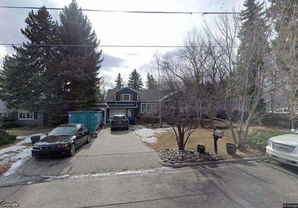
1728 Iris Ln Billings, MT 59102
North Central Billings NeighborhoodEstimated Value: $380,000 - $437,000
3
Beds
2
Baths
2,292
Sq Ft
$181/Sq Ft
Est. Value
About This Home
This home is located at 1728 Iris Ln, Billings, MT 59102 and is currently estimated at $415,575, approximately $181 per square foot. 1728 Iris Ln is a home located in Yellowstone County with nearby schools including Rose Park School, Lewis & Clark Junior High School, and Billings Senior High School.
Ownership History
Date
Name
Owned For
Owner Type
Purchase Details
Closed on
May 12, 2022
Sold by
Lloyd Kienitz Timothy
Bought by
Poston Bradley and Poston Rachel
Current Estimated Value
Purchase Details
Closed on
Oct 26, 2020
Sold by
Richardson Marlin D and Richardson Lauren T
Bought by
Kienitz Timothy and Kienitz Lisa
Home Financials for this Owner
Home Financials are based on the most recent Mortgage that was taken out on this home.
Original Mortgage
$132,489
Interest Rate
2.8%
Mortgage Type
New Conventional
Purchase Details
Closed on
Jun 29, 2015
Sold by
Greyn Debra A
Bought by
Kienitz Timothy Lloyd and Kienitz Lisa Marie
Home Financials for this Owner
Home Financials are based on the most recent Mortgage that was taken out on this home.
Original Mortgage
$36,000
Interest Rate
3.81%
Mortgage Type
Stand Alone Second
Create a Home Valuation Report for This Property
The Home Valuation Report is an in-depth analysis detailing your home's value as well as a comparison with similar homes in the area
Home Values in the Area
Average Home Value in this Area
Purchase History
| Date | Buyer | Sale Price | Title Company |
|---|---|---|---|
| Poston Bradley | -- | Chicago Title | |
| Kienitz Timothy | -- | Chicago Title | |
| Kienitz Timothy Lloyd | -- | Chicago Title |
Source: Public Records
Mortgage History
| Date | Status | Borrower | Loan Amount |
|---|---|---|---|
| Previous Owner | Kienitz Timothy | $132,489 | |
| Previous Owner | Kienitz Timothy Lloyd | $36,000 |
Source: Public Records
Tax History
| Year | Tax Paid | Tax Assessment Tax Assessment Total Assessment is a certain percentage of the fair market value that is determined by local assessors to be the total taxable value of land and additions on the property. | Land | Improvement |
|---|---|---|---|---|
| 2025 | $3,573 | $390,295 | $70,715 | $319,580 |
| 2024 | $3,573 | $336,910 | $66,820 | $270,090 |
| 2023 | $3,674 | $336,910 | $66,820 | $270,090 |
| 2022 | $3,439 | $277,356 | $0 | $0 |
| 2021 | $3,358 | $277,356 | $0 | $0 |
| 2020 | $3,034 | $251,501 | $0 | $0 |
| 2019 | $2,905 | $251,501 | $0 | $0 |
| 2018 | $2,487 | $204,932 | $0 | $0 |
| 2017 | $2,421 | $204,932 | $0 | $0 |
| 2016 | $2,240 | $190,196 | $0 | $0 |
| 2015 | $2,188 | $189,726 | $0 | $0 |
| 2014 | $2,128 | $97,227 | $0 | $0 |
Source: Public Records
Map
Nearby Homes
- 1807 S Mariposa Ln
- 13 Stanford Ct
- 1745 Parkhill Dr
- 9 Shadow Place
- 2124 Dahlia Ln
- 1725 Avenue F
- 56 Shadow Place
- 1733 Avenue E
- 2103 Poly Dr
- 41 Heatherwood Ln
- 1400 Poly Dr Unit 4D
- 3118 Ramada Dr
- 2042 Green Terrace Dr
- 1329 Parkhill Dr
- 1914 Avenue C
- 1310 O Malley Dr
- 2202 13th St W
- 1449 Teton Ave
- 1322 Avenue F
- 1440 Granite Ave
Your Personal Tour Guide
Ask me questions while you tour the home.