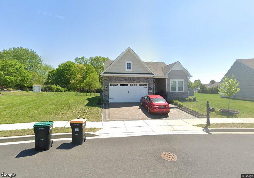
173 Furies St Smyrna, DE 19977
Estimated Value: $411,000 - $493,000
3
Beds
2
Baths
2,346
Sq Ft
$195/Sq Ft
Est. Value
About This Home
This home is located at 173 Furies St, Smyrna, DE 19977 and is currently estimated at $456,825, approximately $194 per square foot. 173 Furies St is a home located in Kent County with nearby schools including John Bassett Moore Intermediate School, Sunnyside Elementary School, and Smyrna Middle School.
Ownership History
Date
Name
Owned For
Owner Type
Purchase Details
Closed on
Aug 22, 2022
Sold by
Nvr Inc
Bought by
Severino Anthony and Severino Sally
Current Estimated Value
Home Financials for this Owner
Home Financials are based on the most recent Mortgage that was taken out on this home.
Original Mortgage
$130,000
Outstanding Balance
$123,755
Interest Rate
4.99%
Mortgage Type
New Conventional
Estimated Equity
$333,070
Purchase Details
Closed on
Apr 18, 2022
Sold by
Ashland Properties Smyrna Llc
Bought by
Nvr Inc
Create a Home Valuation Report for This Property
The Home Valuation Report is an in-depth analysis detailing your home's value as well as a comparison with similar homes in the area
Home Values in the Area
Average Home Value in this Area
Purchase History
| Date | Buyer | Sale Price | Title Company |
|---|---|---|---|
| Severino Anthony | $419,990 | -- | |
| Nvr Inc | $66,500 | None Listed On Document |
Source: Public Records
Mortgage History
| Date | Status | Borrower | Loan Amount |
|---|---|---|---|
| Open | Severino Anthony | $130,000 |
Source: Public Records
Tax History Compared to Growth
Tax History
| Year | Tax Paid | Tax Assessment Tax Assessment Total Assessment is a certain percentage of the fair market value that is determined by local assessors to be the total taxable value of land and additions on the property. | Land | Improvement |
|---|---|---|---|---|
| 2025 | $1,638 | $380,900 | $86,700 | $294,200 |
| 2024 | $1,638 | $380,900 | $86,700 | $294,200 |
| 2023 | $1,458 | $53,700 | $6,100 | $47,600 |
| 2022 | $18 | $600 | $600 | $0 |
| 2021 | $18 | $600 | $600 | $0 |
| 2020 | $16 | $600 | $600 | $0 |
| 2019 | $16 | $600 | $600 | $0 |
| 2018 | $16 | $600 | $600 | $0 |
| 2017 | $16 | $600 | $0 | $0 |
| 2016 | $16 | $600 | $0 | $0 |
| 2015 | $17 | $600 | $0 | $0 |
Source: Public Records
Map
Nearby Homes
- 14 Gorgons Ave
- 26 Cyclops Trail
- 125 E Clarendon Dr
- 117 E Clarendon Dr
- 2 Cyclops Trail
- 7 Pegasus Ln
- 63 Raphael Rd
- 699 W Lake Dr
- 66 Mischief Ln
- 107 Newgate Cir
- 829 Fayette Rd
- 48 Lydia Dr
- 122 Gardenside Dr
- 671 Widener Ln
- 675 Widener Ln
- 35 Liborio Ln
- 91 Toscano Dr
- 8 Aidone Ln
- 546 Barley Ct
- 42 Salerno Dr
- 177 Furies St
- 167 Furies St
- 26 Gorgons Ave
- 163 Furies St
- 164 Furies St
- 22 Gorgons Ave
- 05C Gorgons Ave
- 36 Gorgons Ave
- 18 Gorgons Ave
- 05A Gorgons Ave
- 159 Furies St
- 04A Gorgons Ave
- 1 Roxann Ln
- 58 Cyclops Trail
- 165 E Clarendon Dr
- 664 Sunnyside Rd
- 155 Furies St
- 9 Glenway Ave
- 57 Cyclops Trail
- 156 Furies St