173 Kiowa Trail Gunnison, CO 81230
Estimated Value: $711,513 - $1,143,000
2
Beds
2
Baths
1,631
Sq Ft
$553/Sq Ft
Est. Value
About This Home
This home is located at 173 Kiowa Trail, Gunnison, CO 81230 and is currently estimated at $901,628, approximately $552 per square foot. 173 Kiowa Trail is a home located in Gunnison County with nearby schools including Gunnison Elementary School, Crested Butte Community School, and Gunnison Middle School.
Ownership History
Date
Name
Owned For
Owner Type
Purchase Details
Closed on
Jun 8, 2020
Sold by
Dautenhahn Family Living Trust
Bought by
Berry David L
Current Estimated Value
Purchase Details
Closed on
Jun 12, 2009
Sold by
Dautenhahn Natalie C
Bought by
Dautenhahn Natalie C and Dautenhahn Lawrence W
Purchase Details
Closed on
Sep 1, 2006
Sold by
Jones Tanner Jr Barney A and Jones Tanner Mary Evelyn
Bought by
Dautenhahn Matalie C
Home Financials for this Owner
Home Financials are based on the most recent Mortgage that was taken out on this home.
Original Mortgage
$412,000
Interest Rate
6.64%
Mortgage Type
New Conventional
Purchase Details
Closed on
May 31, 1994
Create a Home Valuation Report for This Property
The Home Valuation Report is an in-depth analysis detailing your home's value as well as a comparison with similar homes in the area
Home Values in the Area
Average Home Value in this Area
Purchase History
| Date | Buyer | Sale Price | Title Company |
|---|---|---|---|
| Berry David L | -- | None Listed On Document | |
| Berry David L | $750,000 | None Listed On Document | |
| Dautenhahn Lawrence W | -- | None Available | |
| Dautenhahn Natalie C | -- | None Available | |
| Dautenhahn Matalie C | $515,000 | None Available | |
| -- | $32,900 | -- |
Source: Public Records
Mortgage History
| Date | Status | Borrower | Loan Amount |
|---|---|---|---|
| Previous Owner | Dautenhahn Matalie C | $412,000 |
Source: Public Records
Tax History Compared to Growth
Tax History
| Year | Tax Paid | Tax Assessment Tax Assessment Total Assessment is a certain percentage of the fair market value that is determined by local assessors to be the total taxable value of land and additions on the property. | Land | Improvement |
|---|---|---|---|---|
| 2024 | $2,226 | $46,310 | $5,820 | $40,490 |
| 2023 | $2,226 | $42,630 | $5,370 | $37,260 |
| 2022 | $1,495 | $24,980 | $6,300 | $18,680 |
| 2021 | $1,349 | $25,710 | $6,490 | $19,220 |
| 2020 | $1,238 | $22,290 | $5,380 | $16,910 |
| 2019 | -- | $22,290 | $5,380 | $16,910 |
| 2018 | -- | $20,640 | $6,410 | $14,230 |
| 2017 | -- | $20,640 | $6,410 | $14,230 |
| 2016 | -- | $19,980 | $6,830 | $13,150 |
Source: Public Records
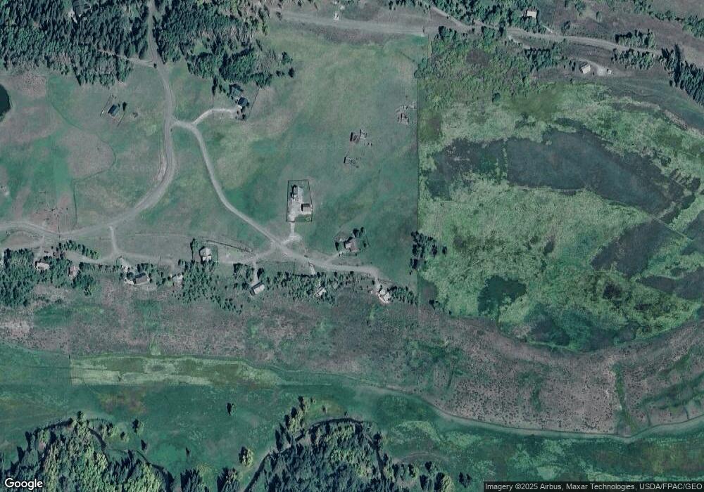
Map
Nearby Homes
- 617 Sioux Rd
- tbd Ohio Creek Rd
- 1100 Castle Dr
- 289 Star Mountain Dr
- 515 Hawk Dr
- 3750 County Road 737
- 000 Blm 3057d
- 8775 County Road 730
- 824 County Road 826
- TBD Copley Lake Rd
- 401 9th Summit
- TBD 10th St
- 980 Saddle Ridge Rd
- 3305 Wildcat Trail
- 997 Saddle Ridge Rd
- Lot 19 Hidden Mine Way
- 1610 Red Mountain Ranch Rd
- 3 Beckwith Ave
- 28 Whiterock Ave Unit 2
- 398 Journey's End Rd
- 172 Kiowa Trail
- 205 Kiowa Trail
- 115 Kiowa Trail
- 0 Kiowa Trail Unit 8782
- 0 Kiowa Trail
- 30 Osage Trail
- 45 Osage Trail
- 45 Inca Trail
- 57 Kiowa Trail
- 57 Kiowa Trail Unit Wilderness Streams I
- 38 Inca Trail
- 453 Sioux Rd
- 525 Sioux Rd
- 66 Mohawk Trail
- 794 Sioux Rd
- 1598 Sioux Rd
- 373 Sioux Rd
- 519 Sioux Rd Unit Wilderness Streams
- 320 Sioux Trail
- 319 Sioux Rd