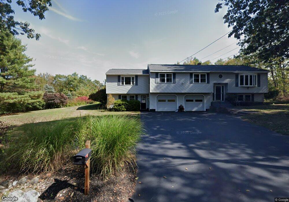
173 N Common Rd Westminster, MA 01473
Estimated Value: $512,636 - $561,000
3
Beds
3
Baths
1,648
Sq Ft
$326/Sq Ft
Est. Value
About This Home
This home is located at 173 N Common Rd, Westminster, MA 01473 and is currently estimated at $537,659, approximately $326 per square foot. 173 N Common Rd is a home located in Worcester County with nearby schools including Oakmont Regional High School.
Ownership History
Date
Name
Owned For
Owner Type
Purchase Details
Closed on
Jan 20, 1994
Sold by
Dymek Custom Bldrs
Bought by
Watt Gary J and Watt Christine
Current Estimated Value
Home Financials for this Owner
Home Financials are based on the most recent Mortgage that was taken out on this home.
Original Mortgage
$109,000
Interest Rate
7.08%
Mortgage Type
Purchase Money Mortgage
Create a Home Valuation Report for This Property
The Home Valuation Report is an in-depth analysis detailing your home's value as well as a comparison with similar homes in the area
Home Values in the Area
Average Home Value in this Area
Purchase History
| Date | Buyer | Sale Price | Title Company |
|---|---|---|---|
| Watt Gary J | $136,250 | -- |
Source: Public Records
Mortgage History
| Date | Status | Borrower | Loan Amount |
|---|---|---|---|
| Open | Watt Gary J | $100,000 | |
| Closed | Watt Gary J | $103,000 | |
| Closed | Watt Gary J | $105,000 | |
| Closed | Watt Gary J | $109,000 |
Source: Public Records
Tax History Compared to Growth
Tax History
| Year | Tax Paid | Tax Assessment Tax Assessment Total Assessment is a certain percentage of the fair market value that is determined by local assessors to be the total taxable value of land and additions on the property. | Land | Improvement |
|---|---|---|---|---|
| 2025 | $5,352 | $435,100 | $121,700 | $313,400 |
| 2024 | $5,116 | $417,300 | $121,700 | $295,600 |
| 2023 | $5,131 | $392,900 | $112,500 | $280,400 |
| 2022 | $5,184 | $328,100 | $97,800 | $230,300 |
| 2021 | $7,536 | $303,800 | $86,400 | $217,400 |
| 2020 | $4,963 | $282,800 | $78,400 | $204,400 |
| 2019 | $3,367 | $269,200 | $64,800 | $204,400 |
| 2018 | $3,052 | $258,600 | $64,800 | $193,800 |
| 2017 | $4,588 | $252,200 | $64,800 | $187,400 |
| 2016 | $4,614 | $245,700 | $54,000 | $191,700 |
| 2015 | $4,533 | $239,200 | $54,000 | $185,200 |
| 2014 | $4,540 | $239,200 | $54,000 | $185,200 |
Source: Public Records
Map
Nearby Homes
- 11 Syd Smith Rd
- 0 Syd Smith Rd (Rear)
- 0 Syd Smith Rd (Parcel 71 4 1)
- 0 Syd Smith Rd Unit 73395578
- 73 N Common Rd
- 47 Newcomb Rd
- 15 Kirali Ct
- 45 Bacon St
- 25 Newcomb Rd
- 26 Bathrick Rd
- 22 Heritage Ln
- 100A W Main St
- 16 Old Mill Cir
- 0-1 Bean Porridge Hill Rd
- 26 W Main St
- 51 State Rd E
- 13 Elliott St
- 4 Tandem Dr
- 2 Old Town Farm Rd
- 17 Leominster St
- 168 N Common Rd
- 169 N Common Rd
- 177 N Common Rd
- 170 N Common Rd
- 170 N Common Rd
- 167 N Common Rd
- 172 N Common Rd Unit 170
- 166 N Common Rd
- 178 N Common Rd
- 165 N Common Rd
- 164 N Common Rd
- 163 N Common Rd
- 85 Oakmont Ave
- 161 N Common Rd
- 162 N Common Rd
- 189 N Common Rd
- 83 Oakmont Ave
- 88 Oakmont Ave
- 90 Oakmont Ave
- 86 Oakmont Ave