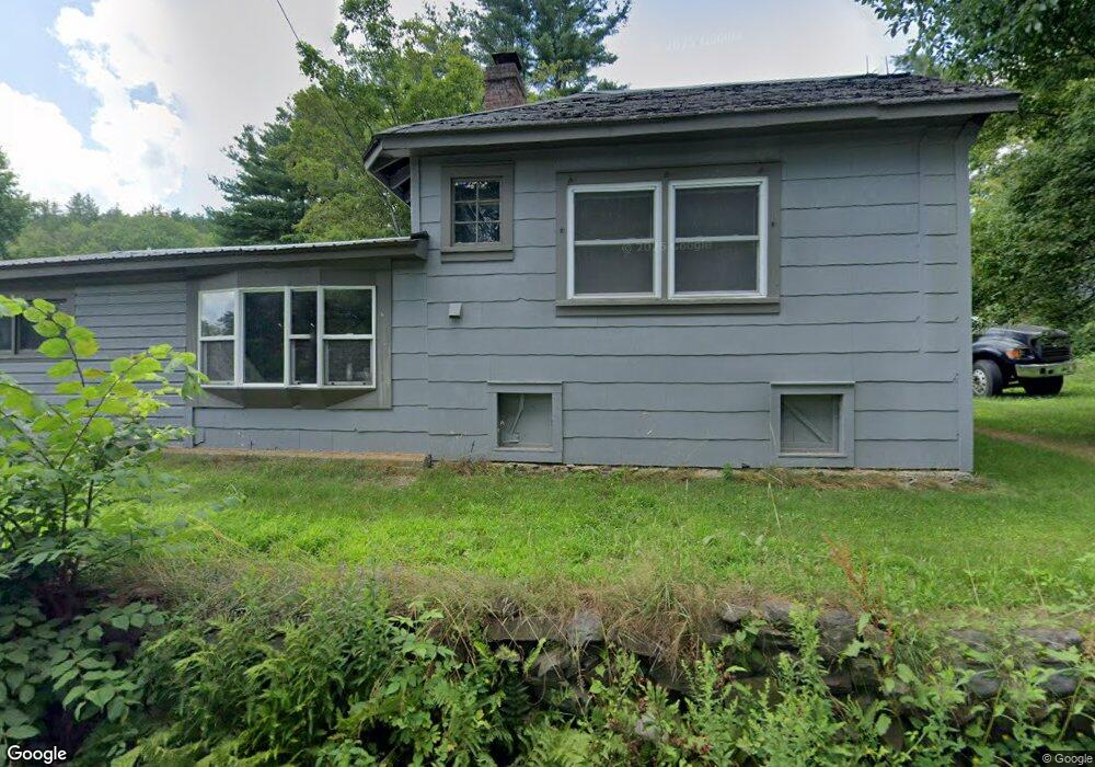
173 Route 8a S Charlemont, MA 01339
Heath NeighborhoodEstimated Value: $279,000 - $363,000
3
Beds
2
Baths
1,216
Sq Ft
$272/Sq Ft
Est. Value
About This Home
This home is located at 173 Route 8a S, Charlemont, MA 01339 and is currently estimated at $331,110, approximately $272 per square foot. 173 Route 8a S is a home located in Franklin County with nearby schools including Mohawk Trail Regional High School.
Ownership History
Date
Name
Owned For
Owner Type
Purchase Details
Closed on
Jan 5, 2018
Sold by
Tseng Lilin
Bought by
Lee Philip A and Lee Kristina
Current Estimated Value
Home Financials for this Owner
Home Financials are based on the most recent Mortgage that was taken out on this home.
Original Mortgage
$174,600
Outstanding Balance
$147,266
Interest Rate
3.92%
Mortgage Type
New Conventional
Estimated Equity
$183,844
Purchase Details
Closed on
Aug 22, 2002
Sold by
Robel Mark B
Bought by
Tseng Lilin
Create a Home Valuation Report for This Property
The Home Valuation Report is an in-depth analysis detailing your home's value as well as a comparison with similar homes in the area
Home Values in the Area
Average Home Value in this Area
Purchase History
| Date | Buyer | Sale Price | Title Company |
|---|---|---|---|
| Lee Philip A | $180,000 | -- | |
| Tseng Lilin | $141,000 | -- |
Source: Public Records
Mortgage History
| Date | Status | Borrower | Loan Amount |
|---|---|---|---|
| Open | Lee Philip A | $174,600 |
Source: Public Records
Tax History Compared to Growth
Tax History
| Year | Tax Paid | Tax Assessment Tax Assessment Total Assessment is a certain percentage of the fair market value that is determined by local assessors to be the total taxable value of land and additions on the property. | Land | Improvement |
|---|---|---|---|---|
| 2025 | $4,005 | $212,900 | $41,600 | $171,300 |
| 2024 | $3,947 | $193,200 | $37,600 | $155,600 |
| 2023 | $3,807 | $166,400 | $27,400 | $139,000 |
| 2022 | $3,411 | $158,600 | $27,400 | $131,200 |
| 2021 | $3,387 | $150,400 | $26,900 | $123,500 |
| 2020 | $3,329 | $149,600 | $25,400 | $124,200 |
| 2019 | $3,270 | $151,400 | $25,500 | $125,900 |
| 2018 | $3,302 | $151,400 | $25,500 | $125,900 |
| 2017 | $3,050 | $145,300 | $25,400 | $119,900 |
| 2016 | $2,999 | $146,200 | $25,400 | $120,800 |
| 2015 | -- | $147,000 | $25,400 | $121,600 |
Source: Public Records
Map
Nearby Homes
- 14 South Rd
- Lot 121 Davis Mine Rd
- 0 Maxwell Rd Unit 246884
- 6 Chippewa Dr
- 139 Taylor Brook Rd
- 32 Navaho Ln
- 594 Massachusetts 8a
- 0 Potters Rd Unit 73439831
- 174 Main St
- 0 W Oxbow Rd Unit 73453651
- 0 Warfield Rd
- 2153 Massachusetts 2
- 0 E Hawley Rd Unit 73456358
- 60 Stone Hill Rd
- 127 County Rd
- 766 Tea St
- 143 Charlemont Rd
- 559 Tea St
- 201 Ford Hill Rd
- 0 W Hawley Rd
- 182 Route 8a S
- 127 Route 8a
- 127 Route 8a --
- 0 Jacksonville Stage Rd
- 166 Route 8a S
- 195 Route 8a S
- 141 Route 8a S
- 61 Jacksonville Stage Rd
- 0 Jacobs & Hosmer Roads Unit 30190158
- 98 Long Hill Rd
- 55 Long Hill Rd
- 68 Long Hill Rd
- 172 Route 8a
- 139 Route 8a S
- 62 Long Hill Rd
- 142 Route 8a S
- 76 Dell Rd
- 0 Sherman Dr
- 4 Sherman Dr
- 129 Route 8a S