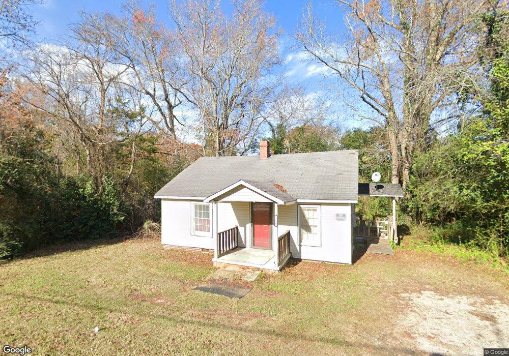
1731 John St Lancaster, SC 29720
Estimated Value: $65,390 - $184,000
Studio
1
Bath
700
Sq Ft
$187/Sq Ft
Est. Value
About This Home
This home is located at 1731 John St, Lancaster, SC 29720 and is currently estimated at $130,797, approximately $186 per square foot. 1731 John St is a home located in Lancaster County with nearby schools including Brooklyn Springs Elementary School, South Middle School, and Lancaster High School.
Ownership History
Date
Name
Owned For
Owner Type
Purchase Details
Closed on
Sep 10, 2014
Sold by
Wright Elvin D
Bought by
Bailey James M
Current Estimated Value
Purchase Details
Closed on
Aug 23, 2012
Sold by
Wright Elvin D
Bought by
Bailey James M
Purchase Details
Closed on
Dec 21, 2011
Sold by
Charleston Debra
Bought by
Wright Elvin D
Purchase Details
Closed on
May 10, 2002
Sold by
Real Estate Investment Capital Inc
Bought by
Charleston Debra
Purchase Details
Closed on
Aug 2, 2001
Sold by
The Federal National Mtg Assn
Bought by
Cpmi Llc
Purchase Details
Closed on
May 14, 2001
Sold by
Ingram Phillip James
Bought by
Federal National Mortgage Association
Create a Home Valuation Report for This Property
The Home Valuation Report is an in-depth analysis detailing your home's value as well as a comparison with similar homes in the area
Home Values in the Area
Average Home Value in this Area
Purchase History
| Date | Buyer | Sale Price | Title Company |
|---|---|---|---|
| Bailey James M | $4,000 | -- | |
| Bailey James M | $4,000 | -- | |
| Wright Elvin D | $1,500 | -- | |
| Charleston Debra | $23,000 | -- | |
| Real Estate Investment Capital Inc | $23,500 | -- | |
| Cpmi Llc | $20,500 | -- | |
| Federal National Mortgage Association | $10,000 | -- |
Source: Public Records
Mortgage History
| Date | Status | Borrower | Loan Amount |
|---|---|---|---|
| Closed | Bailey James M | $0 |
Source: Public Records
Tax History
| Year | Tax Paid | Tax Assessment Tax Assessment Total Assessment is a certain percentage of the fair market value that is determined by local assessors to be the total taxable value of land and additions on the property. | Land | Improvement |
|---|---|---|---|---|
| 2024 | $610 | $1,836 | $432 | $1,404 |
| 2023 | $609 | $1,836 | $432 | $1,404 |
| 2022 | $607 | $1,836 | $432 | $1,404 |
| 2021 | $598 | $1,836 | $432 | $1,404 |
| 2020 | $528 | $1,626 | $432 | $1,194 |
| 2019 | $551 | $1,626 | $432 | $1,194 |
| 2018 | $530 | $1,626 | $432 | $1,194 |
| 2017 | $498 | $0 | $0 | $0 |
| 2016 | $491 | $0 | $0 | $0 |
| 2015 | $428 | $0 | $0 | $0 |
| 2014 | $428 | $0 | $0 | $0 |
| 2013 | $428 | $0 | $0 | $0 |
Source: Public Records
Map
Nearby Homes
- 2282 White Pine Ct
- 1675 Old Lynwood Cir
- TBD Theron Cir
- 1832 Old Lynwood Cir
- 2211 Airport Rd
- 1670 Lynwood Dr
- 1960 Powell Ave
- 1964 Powell Ave
- 1641 Converse St
- 3042 Crenson Dr
- 3038 Crenson Dr
- 1654 Winthrop Ave
- 3028 Crenson Dr
- 3020 Crenson Dr
- 2040 Athena Rd
- 2085 Athena Rd
- 2018 Evans Dr
- 2028 Evans Dr
- 2058 Evans Dr
- 2112 Evans Dr
- 1703 Fisc Ln
- 1854 Lynwood Dr
- 1844 Lynwood Dr
- 1844 Lynwood Dr Unit A&B
- 1860 Lynwood Dr
- 702 Lynwood Dr
- 1874 Lynwood Dr
- 1826 Lynwood Dr
- 1880 Lynwood Dr
- 1704 John St
- 1886 Lynwood Dr
- 1607 Lynwood Dr
- 1729 Alton Ln
- 1894 Lynwood Dr
- 1620 Home Cir
- 1812 Lynwood Dr
- 1883 Lynwood Dr
- 2376 Watts Dr
- 1911 Lynwood Dr
- 1807 Lynwood Dr
Your Personal Tour Guide
Ask me questions while you tour the home.