17313 Henry Dr Lewiston, MN 55952
Estimated Value: $327,000 - $1,698,528
4
Beds
2
Baths
2,297
Sq Ft
$441/Sq Ft
Est. Value
About This Home
This home is located at 17313 Henry Dr, Lewiston, MN 55952 and is currently estimated at $1,012,764, approximately $440 per square foot. 17313 Henry Dr is a home located in Winona County with nearby schools including Lewiston-Altura Secondary School.
Ownership History
Date
Name
Owned For
Owner Type
Purchase Details
Closed on
Jan 1, 2020
Sold by
Prigge Earl A and Prigge Judy
Bought by
Prigge Brian J and Prigge Morgan M
Current Estimated Value
Home Financials for this Owner
Home Financials are based on the most recent Mortgage that was taken out on this home.
Original Mortgage
$900,000
Interest Rate
3%
Mortgage Type
Land Contract Argmt. Of Sale
Create a Home Valuation Report for This Property
The Home Valuation Report is an in-depth analysis detailing your home's value as well as a comparison with similar homes in the area
Home Values in the Area
Average Home Value in this Area
Purchase History
| Date | Buyer | Sale Price | Title Company |
|---|---|---|---|
| Prigge Brian J | $900,000 | None Available |
Source: Public Records
Mortgage History
| Date | Status | Borrower | Loan Amount |
|---|---|---|---|
| Closed | Prigge Brian J | $900,000 |
Source: Public Records
Tax History Compared to Growth
Tax History
| Year | Tax Paid | Tax Assessment Tax Assessment Total Assessment is a certain percentage of the fair market value that is determined by local assessors to be the total taxable value of land and additions on the property. | Land | Improvement |
|---|---|---|---|---|
| 2025 | $7,098 | $1,769,300 | $1,313,700 | $455,600 |
| 2024 | $5,482 | $1,641,700 | $1,213,600 | $428,100 |
| 2023 | $5,044 | $1,602,100 | $1,169,700 | $432,400 |
| 2022 | $5,004 | $1,458,800 | $1,065,000 | $393,800 |
| 2021 | $5,002 | $1,311,000 | $944,300 | $366,700 |
| 2020 | $4,664 | $1,344,200 | $987,900 | $356,300 |
| 2019 | $4,464 | $1,344,200 | $987,900 | $356,300 |
| 2018 | $4,354 | $1,253,400 | $911,600 | $341,800 |
| 2017 | $4,476 | $0 | $0 | $0 |
| 2016 | $4,544 | $0 | $0 | $0 |
| 2015 | $4,544 | $0 | $0 | $0 |
| 2014 | $4,238 | $0 | $0 | $0 |
Source: Public Records
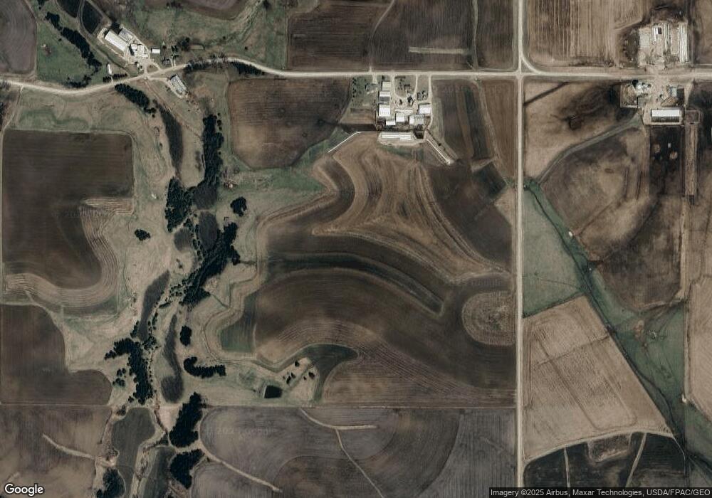
Map
Nearby Homes
- TBD30 Cherokee Rd
- 205 Nicholas Dr
- 225 S 1st St
- 0 Cherokee Rd
- 140 W Main St
- 95 Williams St
- 570 Harrison St
- 1397 Soppa Dr
- 1542 Rimrock Rd
- 260 E 15th St
- 2032 Wabasha Ave
- 1525 Wabasha Ave
- 701 Bluff Ave
- xx Tbd
- 113 E 7th St
- 240 Northern Hills Dr
- 413 Northern Hills Ct
- TDB Oakview Dr
- 1113 Oakview Dr
- 1160 Oakview Dr