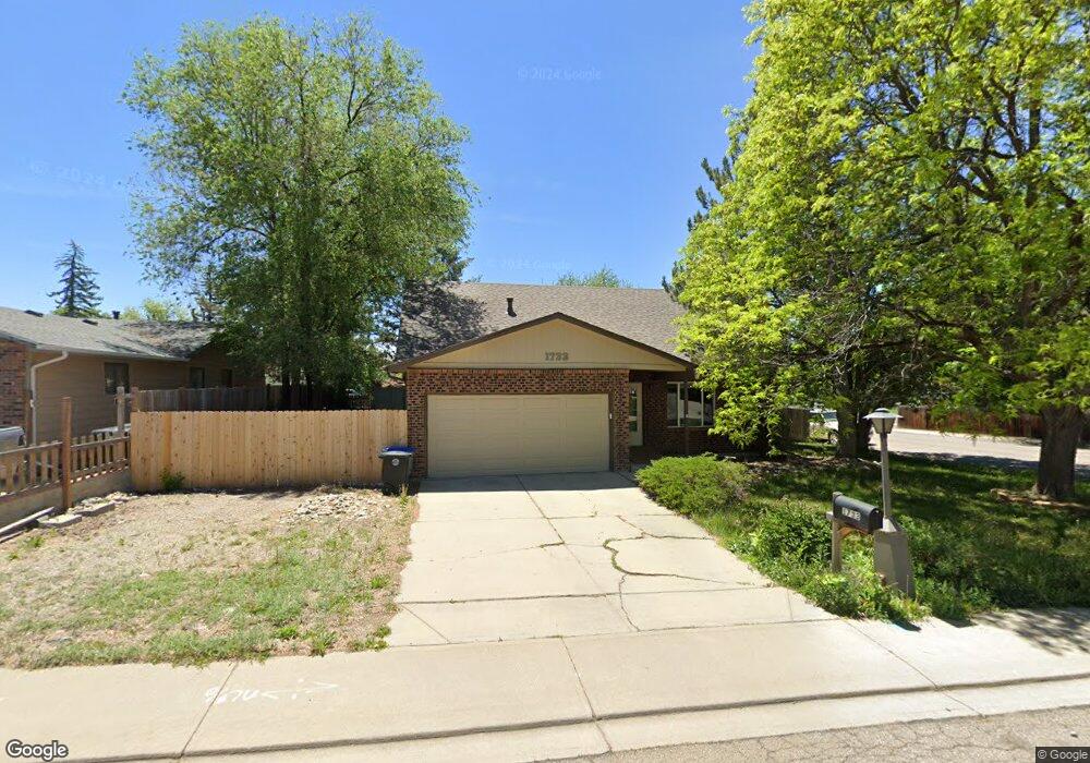
1733 Antero Dr Longmont, CO 80504
Lanyon NeighborhoodEstimated Value: $531,844 - $624,000
3
Beds
3
Baths
1,909
Sq Ft
$305/Sq Ft
Est. Value
About This Home
This home is located at 1733 Antero Dr, Longmont, CO 80504 and is currently estimated at $582,961, approximately $305 per square foot. 1733 Antero Dr is a home located in Boulder County with nearby schools including Alpine Elementary School, Skyline High School, and Longmont Christian School.
Ownership History
Date
Name
Owned For
Owner Type
Purchase Details
Closed on
Aug 18, 2022
Sold by
Craun Living Trust
Bought by
177Antero Llc
Current Estimated Value
Purchase Details
Closed on
Dec 15, 1999
Sold by
Carson Richard E and Carson Cheryal A
Bought by
Dutenhoffer Anthony A
Home Financials for this Owner
Home Financials are based on the most recent Mortgage that was taken out on this home.
Original Mortgage
$148,600
Interest Rate
7.86%
Purchase Details
Closed on
Oct 11, 1996
Sold by
Knapp John P and Knapp Judith D
Bought by
Carson Ii Richard E
Home Financials for this Owner
Home Financials are based on the most recent Mortgage that was taken out on this home.
Original Mortgage
$135,890
Interest Rate
8.33%
Mortgage Type
FHA
Purchase Details
Closed on
Apr 6, 1992
Bought by
Dutenhoffer Anthony A and Dutenhoffer Annette
Purchase Details
Closed on
Aug 10, 1988
Bought by
Dutenhoffer Anthony A and Dutenhoffer Annette
Create a Home Valuation Report for This Property
The Home Valuation Report is an in-depth analysis detailing your home's value as well as a comparison with similar homes in the area
Home Values in the Area
Average Home Value in this Area
Purchase History
| Date | Buyer | Sale Price | Title Company |
|---|---|---|---|
| 177Antero Llc | -- | None Listed On Document | |
| Dutenhoffer Anthony A | $185,750 | Land Title | |
| Carson Ii Richard E | $138,000 | -- | |
| Dutenhoffer Anthony A | $120,500 | -- | |
| Dutenhoffer Anthony A | $85,000 | -- |
Source: Public Records
Mortgage History
| Date | Status | Borrower | Loan Amount |
|---|---|---|---|
| Previous Owner | Dutenhoffer Anthony A | $148,600 | |
| Previous Owner | Carson Ii Richard E | $135,890 |
Source: Public Records
Tax History Compared to Growth
Tax History
| Year | Tax Paid | Tax Assessment Tax Assessment Total Assessment is a certain percentage of the fair market value that is determined by local assessors to be the total taxable value of land and additions on the property. | Land | Improvement |
|---|---|---|---|---|
| 2025 | $2,758 | $30,075 | $7,269 | $22,806 |
| 2024 | $2,758 | $30,075 | $7,269 | $22,806 |
| 2023 | $2,720 | $28,830 | $8,107 | $24,408 |
| 2022 | $2,435 | $24,610 | $6,123 | $18,487 |
| 2021 | $2,467 | $25,318 | $6,299 | $19,019 |
| 2020 | $2,273 | $23,395 | $6,006 | $17,389 |
| 2019 | $2,237 | $23,395 | $6,006 | $17,389 |
| 2018 | $1,906 | $20,066 | $5,832 | $14,234 |
| 2017 | $1,880 | $22,185 | $6,448 | $15,737 |
| 2016 | $1,746 | $18,268 | $5,174 | $13,094 |
| 2015 | $1,664 | $14,256 | $3,980 | $10,276 |
| 2014 | $1,332 | $14,256 | $3,980 | $10,276 |
Source: Public Records
Map
Nearby Homes
- 1711 Antero Dr
- 50 Forsyth Dr
- 1830 Red Cloud Rd
- 1840 Red Cloud Rd
- 16 Merideth Ln
- 1501 Liberty Ct
- 117 Valentine Ln
- 1818 Atwood St
- 112 Dawson Place
- 1761 Sunlight Dr
- 303 17th Ave
- 1833 Atwood St
- 147 Dawson Place
- 1943 Meadow Dr Unit B2
- 1534 Mount Evans Dr
- 2014 Red Cloud Rd
- 1514 Collyer St
- 1430 Lashley St
- 50 19th Ave
- 10 Juneau Place