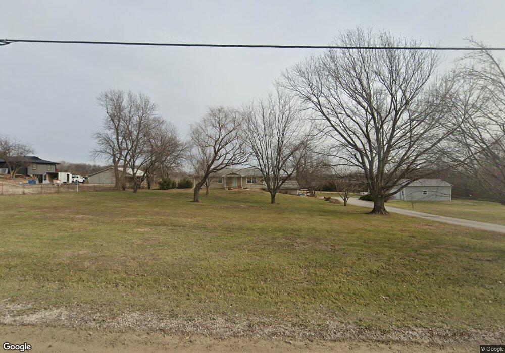
1734 E 800th Rd Lawrence, KS 66049
Scenic Riverway NeighborhoodEstimated Value: $354,000 - $523,000
4
Beds
3
Baths
1,600
Sq Ft
$289/Sq Ft
Est. Value
About This Home
This home is located at 1734 E 800th Rd, Lawrence, KS 66049 and is currently estimated at $462,928, approximately $289 per square foot. 1734 E 800th Rd is a home located in Douglas County with nearby schools including Langston Hughes Elementary School, Southwest Middle School, and Lawrence Free State High School.
Ownership History
Date
Name
Owned For
Owner Type
Purchase Details
Closed on
Jun 23, 2011
Sold by
Woodgate Jack and Woodgate Sylvia
Bought by
Bruffett William B and Bruffett Kari M
Current Estimated Value
Home Financials for this Owner
Home Financials are based on the most recent Mortgage that was taken out on this home.
Original Mortgage
$142,800
Outstanding Balance
$98,766
Interest Rate
4.7%
Mortgage Type
New Conventional
Estimated Equity
$364,162
Create a Home Valuation Report for This Property
The Home Valuation Report is an in-depth analysis detailing your home's value as well as a comparison with similar homes in the area
Home Values in the Area
Average Home Value in this Area
Purchase History
| Date | Buyer | Sale Price | Title Company |
|---|---|---|---|
| Bruffett William B | -- | Capital Title Ins Co Lc |
Source: Public Records
Mortgage History
| Date | Status | Borrower | Loan Amount |
|---|---|---|---|
| Open | Bruffett William B | $142,800 |
Source: Public Records
Tax History
| Year | Tax Paid | Tax Assessment Tax Assessment Total Assessment is a certain percentage of the fair market value that is determined by local assessors to be the total taxable value of land and additions on the property. | Land | Improvement |
|---|---|---|---|---|
| 2025 | $5,974 | $53,259 | $11,068 | $42,191 |
| 2024 | $5,737 | $51,217 | $10,688 | $40,529 |
| 2023 | $5,394 | $46,437 | $9,929 | $36,508 |
| 2022 | $4,824 | $41,217 | $8,411 | $32,806 |
| 2021 | $4,169 | $34,481 | $8,259 | $26,222 |
| 2020 | $4,028 | $33,499 | $8,259 | $25,240 |
| 2019 | $3,517 | $29,337 | $7,956 | $21,381 |
| 2018 | $3,169 | $26,266 | $7,875 | $18,391 |
| 2017 | $3,263 | $26,649 | $7,875 | $18,774 |
| 2016 | $2,903 | $24,570 | $2,829 | $21,741 |
| 2015 | $2,697 | $22,713 | $2,829 | $19,884 |
| 2014 | $2,592 | $22,034 | $2,829 | $19,205 |
Source: Public Records
Map
Nearby Homes
- 835 N 1710 Rd
- 5616 Maggie Way
- Lot 2 N Running Ridge Rd
- 5901 Maggie Way
- 1770 E 960 Rd
- 5802 Three Forks Ct
- Lot 10, 0 E 845 Rd
- 5602 Fort Laramie Ct
- 1937 E 850 Rd
- 1935 E 850th Rd
- 5800 Johnson Dr
- 5806 Johnson Dr
- 5802 Johnson Dr
- 916 Silver Rain Rd
- 323 N Eaton Dr
- 205 Campbell Ct
- 5714 Silverstone Dr
- 5617 Johnson Dr
- 5629 Johnson Dr
- 5237 Carson Dr
- 1738 E 800th Rd
- 1738 E 800th Rd
- 1748 E 800th Rd
- 1724 E 800th Rd
- 1723 E 816th Rd
- 1540 E 800 Rd
- 1530 E 800 Rd
- Land E 800 Rd
- 817 N 1750 Rd
- 804 N 1710 Rd
- 1728 E 816th Rd
- 796 N 1750 Rd
- 1715 E 816th Rd
- 1722 E 816th Rd
- 823 N 1750 Rd
- 816 N 1750 Rd
- 1757 E 800th Rd
- 777 N 1750 Rd
- 1758 E 800th Rd
- 1758 E 800th Rd
Your Personal Tour Guide
Ask me questions while you tour the home.