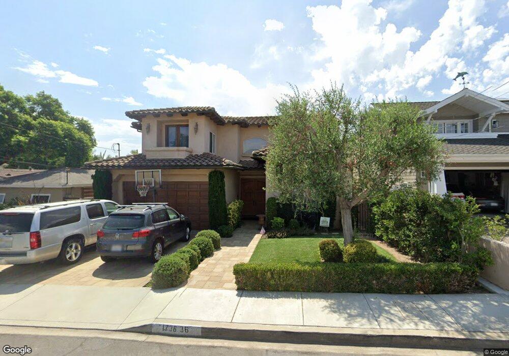
1736 6th St Manhattan Beach, CA 90266
Estimated Value: $3,682,299 - $4,249,000
5
Beds
6
Baths
3,860
Sq Ft
$1,032/Sq Ft
Est. Value
About This Home
This home is located at 1736 6th St, Manhattan Beach, CA 90266 and is currently estimated at $3,982,575, approximately $1,031 per square foot. 1736 6th St is a home located in Los Angeles County with nearby schools including Aurelia Pennekamp Elementary School, Manhattan Beach Middle School, and Mira Costa High School.
Ownership History
Date
Name
Owned For
Owner Type
Purchase Details
Closed on
Dec 29, 2003
Sold by
Wells Mike T
Bought by
Sadilek Michael P
Current Estimated Value
Home Financials for this Owner
Home Financials are based on the most recent Mortgage that was taken out on this home.
Original Mortgage
$900,000
Interest Rate
4.12%
Mortgage Type
Purchase Money Mortgage
Purchase Details
Closed on
Jan 2, 2002
Sold by
Golden Timothy P and Golden Evelyn
Bought by
Wells Mike T
Home Financials for this Owner
Home Financials are based on the most recent Mortgage that was taken out on this home.
Original Mortgage
$1,282,500
Interest Rate
6.84%
Purchase Details
Closed on
Jun 5, 2001
Sold by
Estate Of Norma G Ward
Bought by
Golden Timothy P
Create a Home Valuation Report for This Property
The Home Valuation Report is an in-depth analysis detailing your home's value as well as a comparison with similar homes in the area
Home Values in the Area
Average Home Value in this Area
Purchase History
| Date | Buyer | Sale Price | Title Company |
|---|---|---|---|
| Sadilek Michael P | $1,675,000 | Equity Title Company | |
| Wells Mike T | $1,350,000 | -- | |
| Golden Timothy P | $535,000 | Investors Title Company |
Source: Public Records
Mortgage History
| Date | Status | Borrower | Loan Amount |
|---|---|---|---|
| Previous Owner | Sadilek Michael P | $900,000 | |
| Previous Owner | Wells Mike T | $1,282,500 | |
| Closed | Sadilek Michael P | $440,000 |
Source: Public Records
Tax History
| Year | Tax Paid | Tax Assessment Tax Assessment Total Assessment is a certain percentage of the fair market value that is determined by local assessors to be the total taxable value of land and additions on the property. | Land | Improvement |
|---|---|---|---|---|
| 2025 | $27,087 | $2,381,485 | $2,274,856 | $106,629 |
| 2024 | $27,087 | $2,334,790 | $2,230,251 | $104,539 |
| 2023 | $26,266 | $2,289,011 | $2,186,521 | $102,490 |
| 2022 | $25,814 | $2,244,130 | $2,143,649 | $100,481 |
| 2021 | $25,351 | $2,200,128 | $2,101,617 | $98,511 |
| 2019 | $24,674 | $2,134,873 | $2,039,283 | $95,590 |
| 2018 | $24,120 | $2,093,014 | $1,999,298 | $93,716 |
| 2016 | $18,368 | $1,651,000 | $1,105,200 | $545,800 |
| 2015 | $14,908 | $1,343,000 | $899,000 | $444,000 |
| 2014 | $13,537 | $1,210,000 | $810,000 | $400,000 |
Source: Public Records
Map
Nearby Homes
- 1806 6th St
- 1659 3rd St
- 1816 9th St
- 1852 6th St
- 1820 9th St
- 1623 8th St
- 311 Aviation Place
- 1827 9th St
- 213 Aviation Place
- 1769 Gates Ave
- 1819 11th St
- 1904 Gates Ave
- 2005 Robinson St Unit B
- 1612 Gates Ave
- 1450 6th St
- 1500 2nd St
- 2016 Farrell Ave Unit B
- 2016 Farrell Ave Unit A
- 308 S Redondo Ave
- 2012 Robinson St
Your Personal Tour Guide
Ask me questions while you tour the home.