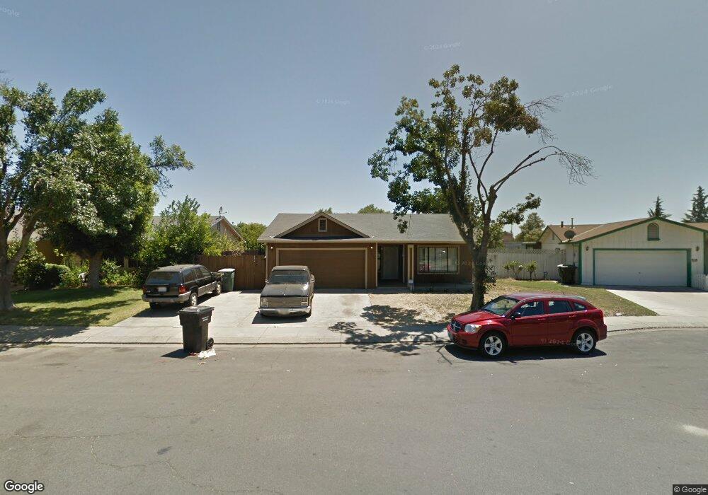
1736 Pawtucket Ave Modesto, CA 95358
Estimated Value: $316,000 - $440,000
3
Beds
2
Baths
1,394
Sq Ft
$278/Sq Ft
Est. Value
About This Home
This home is located at 1736 Pawtucket Ave, Modesto, CA 95358 and is currently estimated at $387,359, approximately $277 per square foot. 1736 Pawtucket Ave is a home located in Stanislaus County with nearby schools including Bret Harte Elementary School, Evelyn Hanshaw Middle School, and Thomas Downey High School.
Ownership History
Date
Name
Owned For
Owner Type
Purchase Details
Closed on
Aug 15, 1997
Sold by
Ocwen Federal Bank
Bought by
Delangel Daniel and Delangel Laura
Current Estimated Value
Home Financials for this Owner
Home Financials are based on the most recent Mortgage that was taken out on this home.
Original Mortgage
$78,425
Outstanding Balance
$11,641
Interest Rate
7.43%
Mortgage Type
FHA
Estimated Equity
$375,718
Purchase Details
Closed on
Jul 1, 1997
Sold by
Croom Arthur and Croom Maria A
Bought by
Ocwen Federal Bank Fsb and Berkeley Federal Bank & Trust
Home Financials for this Owner
Home Financials are based on the most recent Mortgage that was taken out on this home.
Original Mortgage
$78,425
Outstanding Balance
$11,641
Interest Rate
7.43%
Mortgage Type
FHA
Estimated Equity
$375,718
Create a Home Valuation Report for This Property
The Home Valuation Report is an in-depth analysis detailing your home's value as well as a comparison with similar homes in the area
Purchase History
| Date | Buyer | Sale Price | Title Company |
|---|---|---|---|
| Delangel Daniel | $78,500 | Chicago Title Co | |
| Ocwen Federal Bank Fsb | $66,000 | Chicago Title |
Source: Public Records
Mortgage History
| Date | Status | Borrower | Loan Amount |
|---|---|---|---|
| Open | Delangel Daniel | $78,425 |
Source: Public Records
Tax History
| Year | Tax Paid | Tax Assessment Tax Assessment Total Assessment is a certain percentage of the fair market value that is determined by local assessors to be the total taxable value of land and additions on the property. | Land | Improvement |
|---|---|---|---|---|
| 2025 | $1,471 | $125,327 | $41,507 | $83,820 |
| 2024 | $1,405 | $122,871 | $40,694 | $82,177 |
| 2023 | $1,384 | $120,463 | $39,897 | $80,566 |
| 2022 | $1,351 | $118,102 | $39,115 | $78,987 |
| 2021 | $1,271 | $115,788 | $38,349 | $77,439 |
| 2020 | $1,296 | $114,601 | $37,956 | $76,645 |
| 2019 | $1,266 | $112,355 | $37,212 | $75,143 |
| 2018 | $1,206 | $110,153 | $36,483 | $73,670 |
| 2017 | $1,177 | $107,994 | $35,768 | $72,226 |
| 2016 | $1,155 | $105,877 | $35,067 | $70,810 |
| 2015 | $1,137 | $104,288 | $34,541 | $69,747 |
| 2014 | $1,120 | $102,246 | $33,865 | $68,381 |
Source: Public Records
Map
Nearby Homes
- 1804 Ipswich Way
- 1732 Walpole Dr
- 1121 Crater Ave
- 1821 Walpole Dr
- 1705 Ustick Rd
- 721 Imperial Ave
- 1521 Dezzani Ln
- 1740 Denver St
- 1401 Inyo Ave
- 628 Crater Ave
- 414 Glenn Ave
- 800 Lassen Ave
- 505 Mount Everest Ct
- 2125 Gutherie St
- 417 Mount Everest Ct
- 400 Imperial Ave
- 1102 Garden Ave
- 1825 Eureka St
- 1808-1808 1/2 Eureka St
- 1505 Modoc Ave
- 1732 Pawtucket Ave
- 1740 Pawtucket Ave
- 1728 Pawtucket Ave
- 1000 Dezzani Ln
- 1733 Pawtucket Ave
- 1004 Dezzani Ln
- 1729 Pawtucket Ave
- 1724 Pawtucket Ave
- 1008 Dezzani Ln
- 1725 Pawtucket Ave
- 1728 Boise Ave
- 1005 Pelham Place
- 1720 Pawtucket Ave
- 1012 Dezzani Ln
- 1009 Pelham Place
- 1724 Boise Ave
- 1721 Pawtucket Ave
- 1000 Pelham Place
- 1720 Boise Ave
- 1013 Pelham Place
Your Personal Tour Guide
Ask me questions while you tour the home.