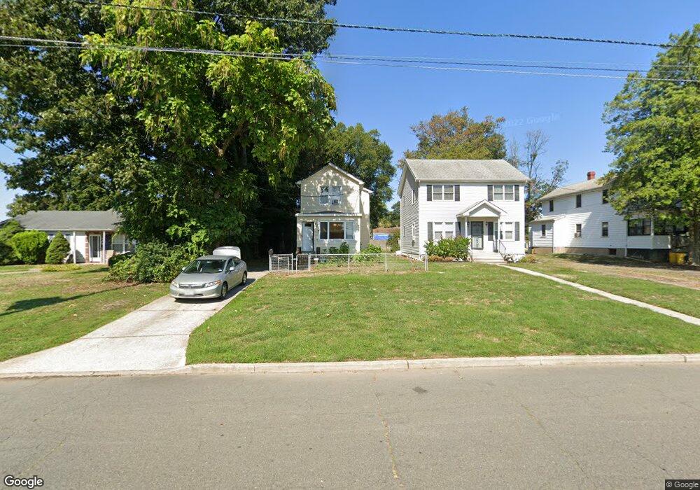
1737 5th St Ewing, NJ 08638
Prospect NeighborhoodEstimated Value: $275,000 - $296,000
Studio
--
Bath
1,265
Sq Ft
$227/Sq Ft
Est. Value
About This Home
This home is located at 1737 5th St, Ewing, NJ 08638 and is currently estimated at $287,269, approximately $227 per square foot. 1737 5th St is a home located in Mercer County with nearby schools including Ewing High School, Paul Robeson Charter School For The Humanities, and Trenton Stem-To-Civics Charter School.
Ownership History
Date
Name
Owned For
Owner Type
Purchase Details
Closed on
Aug 9, 2002
Sold by
Landolfi Frank
Bought by
Map Ikecia
Current Estimated Value
Home Financials for this Owner
Home Financials are based on the most recent Mortgage that was taken out on this home.
Original Mortgage
$85,655
Outstanding Balance
$36,297
Interest Rate
6.57%
Estimated Equity
$250,972
Purchase Details
Closed on
Jun 12, 2001
Sold by
James Evangelos
Bought by
Landolfi Frank
Create a Home Valuation Report for This Property
The Home Valuation Report is an in-depth analysis detailing your home's value as well as a comparison with similar homes in the area
Home Values in the Area
Average Home Value in this Area
Purchase History
| Date | Buyer | Sale Price | Title Company |
|---|---|---|---|
| Map Ikecia | $87,000 | -- | |
| Landolfi Frank | $45,000 | -- | |
| Landolfi Frank | $45,000 | -- |
Source: Public Records
Mortgage History
| Date | Status | Borrower | Loan Amount |
|---|---|---|---|
| Open | Map Ikecia | $85,655 |
Source: Public Records
Tax History
| Year | Tax Paid | Tax Assessment Tax Assessment Total Assessment is a certain percentage of the fair market value that is determined by local assessors to be the total taxable value of land and additions on the property. | Land | Improvement |
|---|---|---|---|---|
| 2025 | $5,192 | $132,000 | $45,000 | $87,000 |
| 2024 | $4,880 | $132,000 | $45,000 | $87,000 |
Source: Public Records
Map
Nearby Homes
- 2302 Columbia Ave
- 2269 Spruce St
- 1 Kent Ct
- 2 & 4 J Russel Smith Rd
- 1600 13th St
- 12 J Russel Smith Rd
- 32 Stoneham Rd
- 40 J Russel Smith Rd
- 56 Sherbrooke Rd
- 341 Stokes Ave
- 17 Hillman Ave
- 33 Sherbrooke Rd
- 7 Mabel St
- 41 Poland St
- 423 Lawrenceville Rd Unit 102
- 423 Lawrenceville Rd Unit 102
- 0 Dryden Ave
- 1415 Princeton Ave
- 91 Groveland Ave
- 16 Bittersweet Rd
Your Personal Tour Guide
Ask me questions while you tour the home.