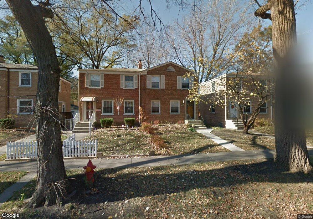
1738 Linden St Des Plaines, IL 60018
Estimated Value: $281,000 - $302,000
2
Beds
1
Bath
982
Sq Ft
$296/Sq Ft
Est. Value
About This Home
This home is located at 1738 Linden St, Des Plaines, IL 60018 and is currently estimated at $290,509, approximately $295 per square foot. 1738 Linden St is a home located in Cook County with nearby schools including South Elementary School, Algonquin Middle School, and Maine West High School.
Ownership History
Date
Name
Owned For
Owner Type
Purchase Details
Closed on
Mar 4, 1994
Sold by
Sove Roy B
Bought by
Naughton Franceen T
Current Estimated Value
Home Financials for this Owner
Home Financials are based on the most recent Mortgage that was taken out on this home.
Original Mortgage
$82,000
Interest Rate
7.04%
Purchase Details
Closed on
May 3, 1987
Sold by
Sove Omar J and Sove Roy B
Bought by
Sove Roy B
Create a Home Valuation Report for This Property
The Home Valuation Report is an in-depth analysis detailing your home's value as well as a comparison with similar homes in the area
Home Values in the Area
Average Home Value in this Area
Purchase History
| Date | Buyer | Sale Price | Title Company |
|---|---|---|---|
| Naughton Franceen T | $68,333 | -- | |
| Sove Roy B | -- | -- |
Source: Public Records
Mortgage History
| Date | Status | Borrower | Loan Amount |
|---|---|---|---|
| Closed | Naughton Franceen T | $82,000 |
Source: Public Records
Tax History Compared to Growth
Tax History
| Year | Tax Paid | Tax Assessment Tax Assessment Total Assessment is a certain percentage of the fair market value that is determined by local assessors to be the total taxable value of land and additions on the property. | Land | Improvement |
|---|---|---|---|---|
| 2024 | $2,391 | $21,000 | $3,500 | $17,500 |
| 2023 | $2,408 | $21,000 | $3,500 | $17,500 |
| 2022 | $2,408 | $21,000 | $3,500 | $17,500 |
| 2021 | $3,620 | $15,106 | $2,126 | $12,980 |
| 2020 | $3,627 | $15,106 | $2,126 | $12,980 |
| 2019 | $3,645 | $16,974 | $2,126 | $14,848 |
| 2018 | $3,602 | $15,480 | $1,871 | $13,609 |
| 2017 | $3,556 | $15,480 | $1,871 | $13,609 |
| 2016 | $3,608 | $15,480 | $1,871 | $13,609 |
| 2015 | $3,434 | $13,983 | $1,615 | $12,368 |
| 2014 | $3,378 | $13,983 | $1,615 | $12,368 |
| 2013 | $3,276 | $13,983 | $1,615 | $12,368 |
Source: Public Records
Map
Nearby Homes
- 1721 Linden St
- 1724 Illinois St
- 1689 S Elm St
- 1536 Orchard St
- 1632 S Elm St
- 1640 S River Rd
- 1928 Kennicott Ct
- 1700 E Forest Ave
- 2017 Pine St Unit B
- 1783 Lee St
- 1278 E River Dr
- 1489 E Algonquin Rd
- 991 Wicke Ave
- 1706 Buckingham Dr
- 1641 E Touhy Ave
- 1629 E Touhy Ave
- 1524 Oakwood Ave
- 960 S River Rd Unit 410
- 960 S River Rd Unit 208
- 2015 Busse Hwy