1739 Crane Ave Audubon, IA 50025
Estimated Value: $196,000 - $396,238
--
Bed
1
Bath
1,840
Sq Ft
$162/Sq Ft
Est. Value
About This Home
This home is located at 1739 Crane Ave, Audubon, IA 50025 and is currently estimated at $297,413, approximately $161 per square foot. 1739 Crane Ave is a home located in Audubon County with nearby schools including Audubon Elementary School and Audubon Middle/High School.
Ownership History
Date
Name
Owned For
Owner Type
Purchase Details
Closed on
Dec 20, 2010
Sold by
Merk Leroy R
Bought by
Merk Roger
Current Estimated Value
Home Financials for this Owner
Home Financials are based on the most recent Mortgage that was taken out on this home.
Original Mortgage
$166,538
Outstanding Balance
$109,860
Interest Rate
4.19%
Mortgage Type
New Conventional
Estimated Equity
$187,553
Create a Home Valuation Report for This Property
The Home Valuation Report is an in-depth analysis detailing your home's value as well as a comparison with similar homes in the area
Home Values in the Area
Average Home Value in this Area
Purchase History
| Date | Buyer | Sale Price | Title Company |
|---|---|---|---|
| Merk Roger | -- | -- |
Source: Public Records
Mortgage History
| Date | Status | Borrower | Loan Amount |
|---|---|---|---|
| Open | Merk Roger | $166,538 |
Source: Public Records
Tax History Compared to Growth
Tax History
| Year | Tax Paid | Tax Assessment Tax Assessment Total Assessment is a certain percentage of the fair market value that is determined by local assessors to be the total taxable value of land and additions on the property. | Land | Improvement |
|---|---|---|---|---|
| 2025 | $4,544 | $347,550 | $93,810 | $253,740 |
| 2024 | $4,544 | $291,330 | $76,280 | $215,050 |
| 2023 | $4,264 | $291,330 | $76,280 | $215,050 |
| 2022 | $3,716 | $208,410 | $54,130 | $154,280 |
| 2021 | $3,716 | $210,230 | $57,170 | $153,060 |
| 2020 | $3,536 | $205,030 | $57,090 | $147,940 |
| 2019 | $3,094 | $209,720 | $0 | $0 |
| 2018 | $3,044 | $209,720 | $0 | $0 |
| 2017 | $2,890 | $203,270 | $0 | $0 |
| 2016 | $3,172 | $231,450 | $0 | $0 |
| 2015 | $3,172 | $240,600 | $0 | $0 |
| 2014 | $2,888 | $220,700 | $0 | $0 |
Source: Public Records
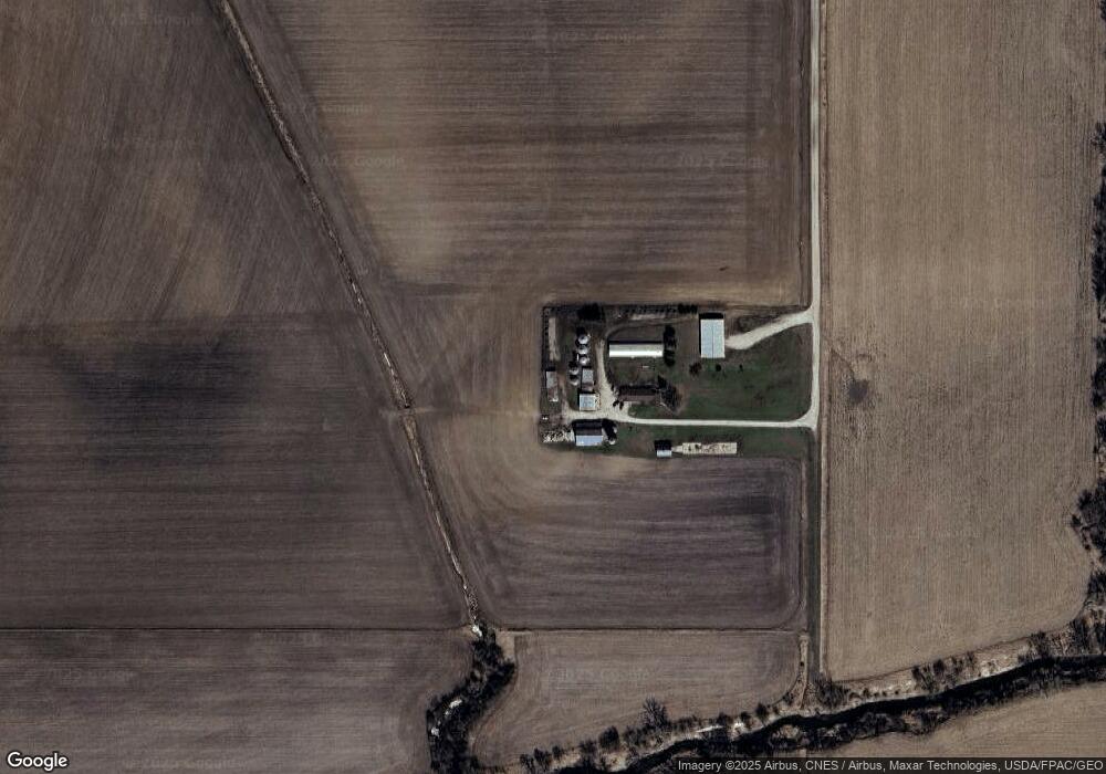
Map
Nearby Homes
- 1521 Road M56
- 2322 2200th St
- 108 Nasby Ave
- 102 Nasby Ave
- 204 Washington St
- 101 Church St
- 103 Church St
- 706 N Arlington St
- 107 & 109 Church St
- 707 N Arlington St
- 502 Tracy St
- 103 E Division St
- 606 Chicago St
- 313 Mantz Ave
- 510 E Division St
- 415 1st Ave
- 311 2nd Ave
- 907 Broadway St
- 702 E Division St
- 912 Broadway St