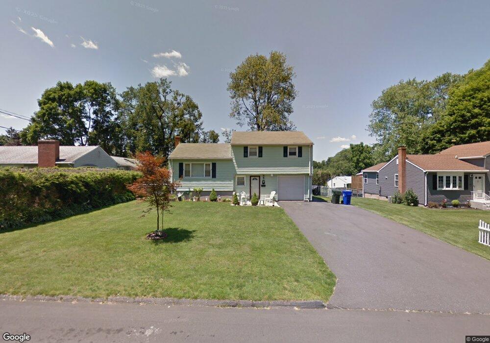
174 Brentwood Rd Newington, CT 06111
Estimated Value: $336,000 - $397,000
3
Beds
2
Baths
1,008
Sq Ft
$370/Sq Ft
Est. Value
About This Home
This home is located at 174 Brentwood Rd, Newington, CT 06111 and is currently estimated at $372,889, approximately $369 per square foot. 174 Brentwood Rd is a home located in Hartford County with nearby schools including Elizabeth Green School, Martin Kellogg Middle School, and Newington High School.
Ownership History
Date
Name
Owned For
Owner Type
Purchase Details
Closed on
Oct 10, 2017
Sold by
Pinto Paula M
Bought by
Pinto Nicholas
Current Estimated Value
Purchase Details
Closed on
Sep 16, 2002
Sold by
Blatt Violet O
Bought by
Pinto Nicholas and Pinto Paula M
Home Financials for this Owner
Home Financials are based on the most recent Mortgage that was taken out on this home.
Original Mortgage
$181,583
Interest Rate
6.48%
Create a Home Valuation Report for This Property
The Home Valuation Report is an in-depth analysis detailing your home's value as well as a comparison with similar homes in the area
Home Values in the Area
Average Home Value in this Area
Purchase History
| Date | Buyer | Sale Price | Title Company |
|---|---|---|---|
| Pinto Nicholas | -- | -- | |
| Pinto Nicholas | $184,000 | -- |
Source: Public Records
Mortgage History
| Date | Status | Borrower | Loan Amount |
|---|---|---|---|
| Previous Owner | Pinto Nicholas | $26,180 | |
| Previous Owner | Pinto Nicholas | $229,000 | |
| Previous Owner | Pinto Nicholas | $32,000 | |
| Previous Owner | Pinto Nicholas | $181,583 |
Source: Public Records
Tax History Compared to Growth
Tax History
| Year | Tax Paid | Tax Assessment Tax Assessment Total Assessment is a certain percentage of the fair market value that is determined by local assessors to be the total taxable value of land and additions on the property. | Land | Improvement |
|---|---|---|---|---|
| 2025 | $5,086 | $127,210 | $54,600 | $72,610 |
| 2024 | $5,046 | $127,210 | $54,600 | $72,610 |
| 2023 | $4,880 | $127,210 | $54,600 | $72,610 |
| 2022 | $4,896 | $127,210 | $54,600 | $72,610 |
| 2021 | $4,937 | $127,210 | $54,600 | $72,610 |
| 2020 | $5,112 | $130,130 | $52,500 | $77,630 |
| 2019 | $5,134 | $130,130 | $52,500 | $77,630 |
| 2018 | $5,010 | $130,130 | $52,500 | $77,630 |
| 2017 | $4,761 | $130,130 | $52,500 | $77,630 |
| 2016 | $4,652 | $130,130 | $52,500 | $77,630 |
| 2014 | $4,470 | $128,570 | $52,650 | $75,920 |
Source: Public Records
Map
Nearby Homes
- 123 Ellsworth St
- 84 Connecticut Ave
- 37 Commonwealth Ave
- 35 Tinsmith Crossing Unit 35
- 42 Schoolhouse Crossing
- 57 Welles Dr
- 9 Tanner Crossing Unit 9
- 27 Harding Ave
- 35 Harding Ave
- 64 Garfield St
- 91 Centerwood Rd
- 274 Cedarwood Ln
- 105 Gilbert Rd
- 131 Williamstown Ct Unit 131
- 263 Williamstown Ct
- 268 Goff Rd
- 173 Timber Trail
- 559 Mountain Rd
- 140 Camp Ave
- 760 Willard Ave
- 180 Brentwood Rd
- 92 Dalewood Rd
- 70 Deepwood Dr
- 186 Brentwood Rd
- 76 Deepwood Dr
- 64 Deepwood Dr
- 91 Dalewood Rd
- 173 Brentwood Rd
- 192 Brentwood Rd
- 167 Brentwood Rd
- 179 Brentwood Rd
- 161 Brentwood Rd
- 185 Brentwood Rd
- 81 Dalewood Rd
- 198 Brentwood Rd
- 60 Deepwood Dr
- 146 Brentwood Rd
- 66 Dalewood Rd
- 61 Deepwood Dr
- 73 Dalewood Rd