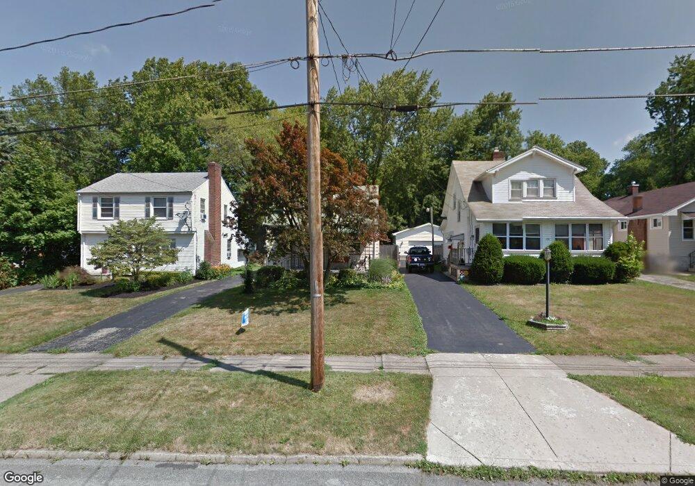
174 Maple Dr Youngstown, OH 44512
Estimated Value: $91,000 - $107,000
2
Beds
1
Bath
882
Sq Ft
$112/Sq Ft
Est. Value
About This Home
This home is located at 174 Maple Dr, Youngstown, OH 44512 and is currently estimated at $98,635, approximately $111 per square foot. 174 Maple Dr is a home located in Mahoning County with nearby schools including Boardman Glenwood Junior High School, Boardman High School, and Horizon Science Academy - Youngstown.
Ownership History
Date
Name
Owned For
Owner Type
Purchase Details
Closed on
Sep 29, 1995
Sold by
Yount Patricia M
Bought by
Liller Hoarld J and Prest Kimberly S
Current Estimated Value
Home Financials for this Owner
Home Financials are based on the most recent Mortgage that was taken out on this home.
Original Mortgage
$47,685
Interest Rate
7.48%
Mortgage Type
FHA
Purchase Details
Closed on
Nov 1, 1976
Bought by
Yount Darhl D
Create a Home Valuation Report for This Property
The Home Valuation Report is an in-depth analysis detailing your home's value as well as a comparison with similar homes in the area
Home Values in the Area
Average Home Value in this Area
Purchase History
| Date | Buyer | Sale Price | Title Company |
|---|---|---|---|
| Liller Hoarld J | $55,000 | -- | |
| Yount Darhl D | -- | -- |
Source: Public Records
Mortgage History
| Date | Status | Borrower | Loan Amount |
|---|---|---|---|
| Closed | Liller Hoarld J | $47,685 |
Source: Public Records
Tax History Compared to Growth
Tax History
| Year | Tax Paid | Tax Assessment Tax Assessment Total Assessment is a certain percentage of the fair market value that is determined by local assessors to be the total taxable value of land and additions on the property. | Land | Improvement |
|---|---|---|---|---|
| 2024 | $1,135 | $21,660 | $3,120 | $18,540 |
| 2023 | $1,120 | $21,660 | $3,120 | $18,540 |
| 2022 | $939 | $13,770 | $3,020 | $10,750 |
| 2021 | $940 | $13,770 | $3,020 | $10,750 |
| 2020 | $944 | $13,770 | $3,020 | $10,750 |
| 2019 | $975 | $12,180 | $2,670 | $9,510 |
| 2018 | $801 | $12,180 | $2,670 | $9,510 |
| 2017 | $785 | $12,180 | $2,670 | $9,510 |
| 2016 | $865 | $13,310 | $3,190 | $10,120 |
| 2015 | $848 | $13,310 | $3,190 | $10,120 |
| 2014 | $850 | $13,310 | $3,190 | $10,120 |
| 2013 | $840 | $13,310 | $3,190 | $10,120 |
Source: Public Records
Map
Nearby Homes
- 4504 Southern Blvd
- 4508 Southern Blvd
- 94 Shadyside Dr
- 4552 New England Blvd
- 168 Lowell Ave
- 204 Lowell Ave
- 94 Beechwood Dr
- 83 Beechwood Dr
- 4307 Helena Ave
- 60 Shadyside Dr
- 4144 Helena Ave
- 30 Pinehurst Ave
- 241 Clarencedale Ave
- 188 Clarencedale Ave
- 230 Clarencedale Ave
- 28 Terrace Dr
- 4038 Sunset Blvd
- 486 Annawan Ln
- 0 Indianola Rd
- 3930 Sunset Dr