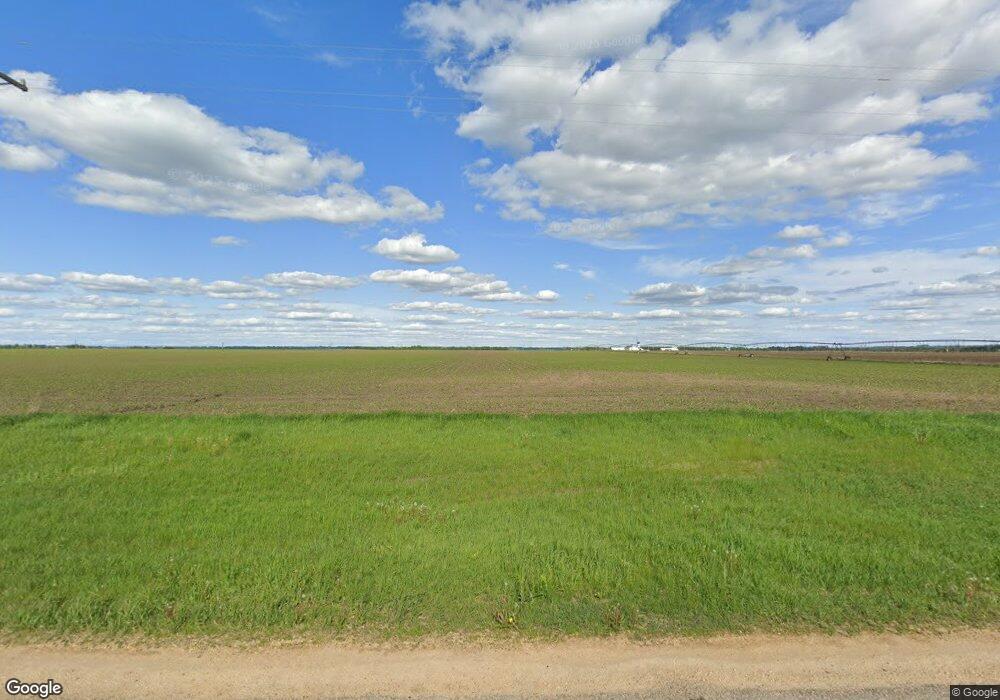
17400 Red Wing Blvd Hastings, MN 55033
Hastings-Marshan Township NeighborhoodEstimated Value: $766,000
4
Beds
2
Baths
1,506
Sq Ft
$509/Sq Ft
Est. Value
About This Home
This home is located at 17400 Red Wing Blvd, Hastings, MN 55033 and is currently estimated at $766,000, approximately $508 per square foot. 17400 Red Wing Blvd is a home located in Dakota County with nearby schools including Kennedy Elementary School, Hastings Middle School, and Hastings High School.
Ownership History
Date
Name
Owned For
Owner Type
Purchase Details
Closed on
Oct 30, 2020
Sold by
Molitor Brothers Farm
Bought by
Molitor Land Llc
Current Estimated Value
Purchase Details
Closed on
Apr 6, 2015
Sold by
Williams Ann and Williams Norman Eugene
Bought by
Molitor Brothers Farm
Home Financials for this Owner
Home Financials are based on the most recent Mortgage that was taken out on this home.
Original Mortgage
$1,200,000
Interest Rate
3.85%
Mortgage Type
Future Advance Clause Open End Mortgage
Create a Home Valuation Report for This Property
The Home Valuation Report is an in-depth analysis detailing your home's value as well as a comparison with similar homes in the area
Home Values in the Area
Average Home Value in this Area
Purchase History
| Date | Buyer | Sale Price | Title Company |
|---|---|---|---|
| Molitor Land Llc | -- | None Available | |
| Molitor Brothers Farm | $1,588,200 | Agstar Title |
Source: Public Records
Mortgage History
| Date | Status | Borrower | Loan Amount |
|---|---|---|---|
| Previous Owner | Molitor Brothers Farm | $1,200,000 |
Source: Public Records
Tax History Compared to Growth
Tax History
| Year | Tax Paid | Tax Assessment Tax Assessment Total Assessment is a certain percentage of the fair market value that is determined by local assessors to be the total taxable value of land and additions on the property. | Land | Improvement |
|---|---|---|---|---|
| 2024 | $3,204 | $758,300 | $758,300 | -- |
| 2023 | $3,204 | $729,000 | $729,000 | $0 |
| 2022 | $3,034 | $653,900 | $653,900 | $0 |
| 2021 | $2,972 | $600,900 | $600,900 | $0 |
| 2020 | $3,090 | $595,100 | $595,100 | $0 |
| 2019 | $3,033 | $580,900 | $580,900 | $0 |
| 2018 | $3,497 | $551,400 | $551,400 | $0 |
| 2017 | $3,984 | $551,400 | $551,400 | $0 |
| 2016 | $3,273 | $580,700 | $580,700 | $0 |
| 2015 | $3,301 | $724,200 | $630,500 | $93,700 |
| 2014 | -- | $722,400 | $628,400 | $94,000 |
| 2013 | -- | $674,200 | $594,200 | $80,000 |
Source: Public Records
Map
Nearby Homes
- 4198 Starling Dr
- 545 Tuttle Dr
- 115 Kinglet Dr
- 182 Sandpiper Cir
- 2341 Glacier Way
- 2211 Glacier Way
- 235 Tiffany Dr
- 3525 Douglas Dr
- 3200 Malcolm Ave
- 2422 Rushmore Rd
- 2456 Yellowstone Dr Unit 122
- 2452 Rushmore Rd
- 2473 Yellowstone Dr
- 2395 Rushmore Rd
- 3575 Vermillion St
- 3525 Vermillion St
- 17994 Michael Ave
- 365 Hayes Dr Unit 30
- Lot 3 Orlando Ave
- Lot 1 Orlando Ave
- 17400 Red Wing Blvd
- XXX Neil Path
- xxx Neill Path
- XXXX Neil Path
- 17425 Red Wing Blvd
- 17451 Red Wing Blvd
- 17441 Red Wing Blvd
- 17441 17441 Redwing-Boulevard-
- 17431 Red Wing Blvd
- 17429 Red Wing Blvd
- 17227 Neill Path
- 17530 Red Wing Blvd
- 17205 Neill Path
- 17275 Red Wing Blvd
- 17190 Neill Path
- 17275 17275 Redwing-Boulevard-
- 17155 Neill Path
- 17140 Neill Path
- 17120 Neill Path
- 17075 Neill Path
