1741 Sandstone Curve Shakopee, MN 55379
Estimated Value: $268,000 - $289,000
2
Beds
2
Baths
1,455
Sq Ft
$189/Sq Ft
Est. Value
About This Home
This home is located at 1741 Sandstone Curve, Shakopee, MN 55379 and is currently estimated at $274,880, approximately $188 per square foot. 1741 Sandstone Curve is a home located in Scott County with nearby schools including Jackson Elementary School, East Middle School, and Shakopee Senior High School.
Ownership History
Date
Name
Owned For
Owner Type
Purchase Details
Closed on
Oct 3, 2023
Sold by
Siouthay Tim
Bought by
Astani Seyed and Astani Marzie
Current Estimated Value
Home Financials for this Owner
Home Financials are based on the most recent Mortgage that was taken out on this home.
Original Mortgage
$249,850
Outstanding Balance
$244,909
Interest Rate
7.09%
Mortgage Type
New Conventional
Estimated Equity
$29,971
Purchase Details
Closed on
Feb 27, 2019
Sold by
Jorgenson Leif Robert and Jorgenson Katie
Bought by
Siouthay Tim
Home Financials for this Owner
Home Financials are based on the most recent Mortgage that was taken out on this home.
Original Mortgage
$186,558
Interest Rate
4.25%
Mortgage Type
FHA
Purchase Details
Closed on
Sep 30, 2003
Sold by
Otterson Rob and Otterson Judy Anderson
Bought by
Jorgenson Leif R
Purchase Details
Closed on
May 24, 2001
Sold by
Vee Harlan A
Bought by
Otterson Judy Anderson and Otterson Rob
Create a Home Valuation Report for This Property
The Home Valuation Report is an in-depth analysis detailing your home's value as well as a comparison with similar homes in the area
Home Values in the Area
Average Home Value in this Area
Purchase History
| Date | Buyer | Sale Price | Title Company |
|---|---|---|---|
| Astani Seyed | $263,000 | -- | |
| Siouthay Tim | $190,000 | Burnet Title | |
| Jorgenson Leif R | $173,500 | -- | |
| Otterson Judy Anderson | $150,900 | -- |
Source: Public Records
Mortgage History
| Date | Status | Borrower | Loan Amount |
|---|---|---|---|
| Open | Astani Seyed | $249,850 | |
| Previous Owner | Siouthay Tim | $186,558 |
Source: Public Records
Tax History Compared to Growth
Tax History
| Year | Tax Paid | Tax Assessment Tax Assessment Total Assessment is a certain percentage of the fair market value that is determined by local assessors to be the total taxable value of land and additions on the property. | Land | Improvement |
|---|---|---|---|---|
| 2025 | $2,386 | $257,500 | $76,100 | $181,400 |
| 2024 | $2,464 | $245,700 | $72,400 | $173,300 |
| 2023 | $2,520 | $242,100 | $71,000 | $171,100 |
| 2022 | $2,406 | $243,800 | $72,700 | $171,100 |
| 2021 | $2,068 | $204,000 | $57,000 | $147,000 |
| 2020 | $2,218 | $195,200 | $47,300 | $147,900 |
| 2019 | $2,374 | $186,000 | $45,000 | $141,000 |
| 2018 | $2,046 | $0 | $0 | $0 |
| 2016 | $1,906 | $0 | $0 | $0 |
| 2014 | -- | $0 | $0 | $0 |
Source: Public Records
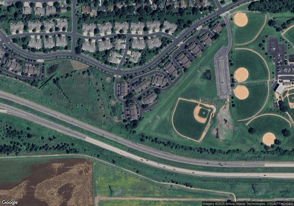
Map
Nearby Homes
- 1853 Stone Meadow Blvd
- 2224 Quarry Ln
- 1226 Polk St S
- 1259 Taylor St Unit 3
- 1279 Taylor St Unit 5
- 1187 Jackson St S
- 1690 Windigo Ln
- 1861 Attenborough St
- 2007 10th Ave W Unit 12
- 816 Regent Dr
- The Ferguson Plan at Bluff View - Cottage Series
- The Edison Plan at Bluff View - Cottage Series
- The Tatum Plan at Bluff View - Cottage Series
- The Pattison Plan at Bluff View - Cottage Series
- The Harmony Plan at Bluff View - Freedom Series
- The Dover II Plan at Bluff View - Freedom Series
- The Clifton II Plan at Bluff View - Freedom Series
- The Cali Plan at Bluff View - Freedom Series
- 1179 Cubasue Ct
- 1813 6th Ave W
- 1741 Sandstone Curve Unit 1043
- 1745 Sandstone Curve
- 1752 Stone Meadow Blvd
- 1748 Stone Meadow Blvd
- 1749 Sandstone Curve
- 1744 Stone Meadow Blvd
- 1753 Sandstone Curve
- 1772 Sandstone Curve
- 1740 Stone Meadow Blvd
- 1768 Sandstone Curve
- 1764 Sandstone Curve
- 1733 Stone Meadow Blvd
- 1729 Stone Meadow Blvd
- 1761 Stone Ct
- 1725 Stone Meadow Blvd
- 1765 Stone Ct
- 1760 Sandstone Curve
- 1769 Stone Ct
- 1721 Stone Meadow Blvd
- 1732 Pebble Terrace