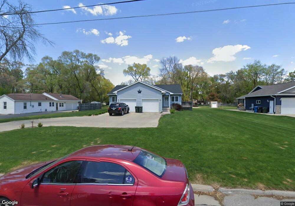
1742 Lark Ln Unit 1744 Waterloo, IA 50701
Estimated Value: $256,000 - $310,000
6
Beds
5
Baths
1,704
Sq Ft
$172/Sq Ft
Est. Value
About This Home
This home is located at 1742 Lark Ln Unit 1744, Waterloo, IA 50701 and is currently estimated at $293,100, approximately $172 per square foot. 1742 Lark Ln Unit 1744 is a home located in Black Hawk County with nearby schools including Becker Elementary School, Central Middle School, and West High School.
Ownership History
Date
Name
Owned For
Owner Type
Purchase Details
Closed on
May 30, 2006
Sold by
Scully George D
Bought by
Benham David P and Benham Shirley A
Current Estimated Value
Home Financials for this Owner
Home Financials are based on the most recent Mortgage that was taken out on this home.
Original Mortgage
$226,000
Interest Rate
6.39%
Mortgage Type
Construction
Purchase Details
Closed on
Apr 3, 2006
Sold by
Benham David P and Benham Shirley A
Bought by
Johnson Latisha
Home Financials for this Owner
Home Financials are based on the most recent Mortgage that was taken out on this home.
Original Mortgage
$226,000
Interest Rate
6.39%
Mortgage Type
Construction
Create a Home Valuation Report for This Property
The Home Valuation Report is an in-depth analysis detailing your home's value as well as a comparison with similar homes in the area
Home Values in the Area
Average Home Value in this Area
Purchase History
| Date | Buyer | Sale Price | Title Company |
|---|---|---|---|
| Benham David P | -- | Black Hawk County Abstract C | |
| Johnson Latisha | $34,500 | Black Hawk County Abstract C |
Source: Public Records
Mortgage History
| Date | Status | Borrower | Loan Amount |
|---|---|---|---|
| Previous Owner | Johnson Latisha | $226,000 |
Source: Public Records
Tax History Compared to Growth
Tax History
| Year | Tax Paid | Tax Assessment Tax Assessment Total Assessment is a certain percentage of the fair market value that is determined by local assessors to be the total taxable value of land and additions on the property. | Land | Improvement |
|---|---|---|---|---|
| 2025 | $5,646 | $291,990 | $34,990 | $257,000 |
| 2024 | $5,646 | $260,280 | $34,990 | $225,290 |
| 2023 | $4,450 | $260,280 | $34,990 | $225,290 |
| 2022 | $4,330 | $211,520 | $34,990 | $176,530 |
| 2021 | $4,474 | $211,520 | $34,990 | $176,530 |
| 2020 | $4,398 | $206,140 | $29,610 | $176,530 |
| 2019 | $4,398 | $206,140 | $29,610 | $176,530 |
| 2018 | $4,402 | $206,140 | $29,610 | $176,530 |
| 2017 | $4,358 | $206,140 | $29,610 | $176,530 |
| 2016 | $4,300 | $198,280 | $29,610 | $168,670 |
| 2015 | $4,300 | $198,280 | $29,610 | $168,670 |
| 2014 | $4,384 | $198,280 | $29,610 | $168,670 |
Source: Public Records
Map
Nearby Homes
- 1726 Huntington Rd
- 1507 Downing Ave
- 1269 Scott Ave
- 1275 Deloris Dr
- 1225 Downing Ave
- 1221 Downing Ave
- 1114 Eleanor Dr
- 1742 Sager Ave
- 241 Carrington Ave
- 2621 University Ave
- 1111 Scott Ave
- 915 Alabar Ave
- 3816 Monterey Dr
- 3913 Onawa Dr
- 2320 University Ave
- 1137 Fleur Dr
- 819 Hanna Blvd
- 102 Bergen Dr
- 104 Bergen Dr
- 0 Huntington Rd