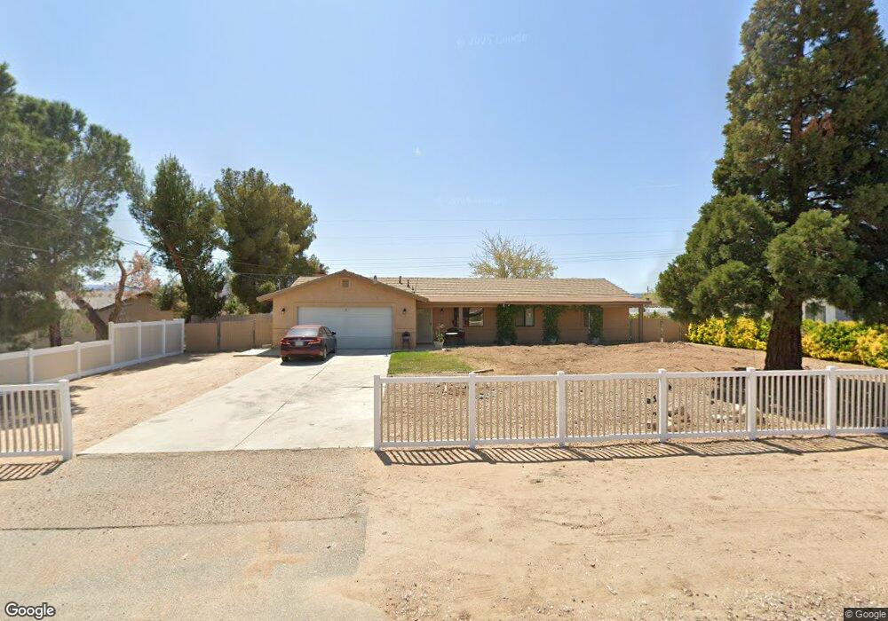
17421 Redding St Hesperia, CA 92345
The Mesa NeighborhoodEstimated Value: $422,908 - $437,000
3
Beds
2
Baths
1,518
Sq Ft
$284/Sq Ft
Est. Value
About This Home
This home is located at 17421 Redding St, Hesperia, CA 92345 and is currently estimated at $431,227, approximately $284 per square foot. 17421 Redding St is a home located in San Bernardino County with nearby schools including Kingston Elementary School, Ranchero Middle School, and Sultana High School.
Ownership History
Date
Name
Owned For
Owner Type
Purchase Details
Closed on
Dec 13, 2000
Sold by
Williams Curtis D
Bought by
Williamson Steve and Williamson Marian
Current Estimated Value
Home Financials for this Owner
Home Financials are based on the most recent Mortgage that was taken out on this home.
Original Mortgage
$103,399
Outstanding Balance
$37,175
Interest Rate
7.54%
Mortgage Type
FHA
Estimated Equity
$394,052
Purchase Details
Closed on
Aug 29, 1994
Sold by
Williams Curtis D and Williams Joan
Bought by
Williams Curtis D and Williams Joan
Create a Home Valuation Report for This Property
The Home Valuation Report is an in-depth analysis detailing your home's value as well as a comparison with similar homes in the area
Home Values in the Area
Average Home Value in this Area
Purchase History
| Date | Buyer | Sale Price | Title Company |
|---|---|---|---|
| Williamson Steve | $105,000 | First American Title Ins Co | |
| Williams Curtis D | -- | -- |
Source: Public Records
Mortgage History
| Date | Status | Borrower | Loan Amount |
|---|---|---|---|
| Open | Williamson Steve | $103,399 |
Source: Public Records
Tax History
| Year | Tax Paid | Tax Assessment Tax Assessment Total Assessment is a certain percentage of the fair market value that is determined by local assessors to be the total taxable value of land and additions on the property. | Land | Improvement |
|---|---|---|---|---|
| 2025 | $1,715 | $158,219 | $19,590 | $138,629 |
| 2024 | $1,675 | $155,117 | $19,206 | $135,911 |
| 2023 | $1,656 | $152,075 | $18,829 | $133,246 |
| 2022 | $1,617 | $149,093 | $18,460 | $130,633 |
| 2021 | $1,587 | $146,170 | $18,098 | $128,072 |
| 2020 | $1,568 | $144,671 | $17,912 | $126,759 |
| 2019 | $1,535 | $141,835 | $17,561 | $124,274 |
| 2018 | $1,505 | $139,054 | $17,217 | $121,837 |
| 2017 | $1,477 | $136,327 | $16,879 | $119,448 |
| 2016 | $1,445 | $133,654 | $16,548 | $117,106 |
| 2015 | $1,426 | $131,646 | $16,299 | $115,347 |
| 2014 | $1,406 | $129,068 | $15,980 | $113,088 |
Source: Public Records
Map
Nearby Homes
- 7864 Newhall Ave
- 17375 Redding St
- 7653 Montrose Ave
- 0 Oxford Ave Unit HD25072687
- 17412 Danbury Ave
- 7829 Chase Ave
- 7610 Glider Ave
- 8178 Kingston Ave
- 16 Bangor Ave
- 18132 Bangor Ave
- 7407 Kenyon Ave
- 7413 Montrose Ave
- 7485 Glider Ave
- 39833428 Fairburn St
- 0 Kenyon Ave
- 17405 Adobe St
- 0000 Ranchero St
- 39819807 Ranchero St
- 17111 Ranchero St
- 7486 Earhart Ave
- 17435 Redding St
- 17409 Redding St
- 17399 Redding St
- 17451 Redding St
- 7825 Montrose Ave
- 7848 Newhall Ave
- 17387 Redding St
- 7839 Montrose Ave
- 7824 Montrose Ave
- 17483 Redding St
- 7853 Montrose Ave
- 7838 Montrose Ave
- 7880 Newhall Ave
- 17460 Seaforth St
- 17474 Seaforth St
- 17361 Redding St
- 7853 Newhall Ave
- 17497 Redding St
- 17432 Seaforth St
- 17488 Seaforth St
Your Personal Tour Guide
Ask me questions while you tour the home.