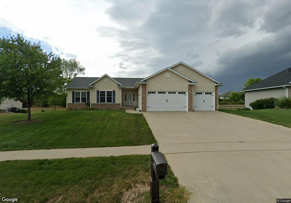
1743 Hoover Trail Cir SW Cedar Rapids, IA 52404
Estimated Value: $299,000 - $466,000
3
Beds
4
Baths
2,016
Sq Ft
$200/Sq Ft
Est. Value
About This Home
This home is located at 1743 Hoover Trail Cir SW, Cedar Rapids, IA 52404 and is currently estimated at $402,848, approximately $199 per square foot. 1743 Hoover Trail Cir SW is a home located in Linn County with nearby schools including Prairie Heights Elementary School, Prairie View Elementary School, and Prairie Crest Elementary School.
Ownership History
Date
Name
Owned For
Owner Type
Purchase Details
Closed on
Mar 10, 2015
Sold by
Wacker Don A and Wacker Lori M
Bought by
Pink Michael and Pink Kimberly
Current Estimated Value
Home Financials for this Owner
Home Financials are based on the most recent Mortgage that was taken out on this home.
Original Mortgage
$231,750
Outstanding Balance
$191,391
Interest Rate
6%
Mortgage Type
VA
Estimated Equity
$211,457
Purchase Details
Closed on
Aug 19, 2005
Sold by
Sevig Development Lc
Bought by
Wacker Don A and Wacker Lori M
Home Financials for this Owner
Home Financials are based on the most recent Mortgage that was taken out on this home.
Original Mortgage
$296,000
Interest Rate
5.82%
Mortgage Type
Construction
Create a Home Valuation Report for This Property
The Home Valuation Report is an in-depth analysis detailing your home's value as well as a comparison with similar homes in the area
Home Values in the Area
Average Home Value in this Area
Purchase History
| Date | Buyer | Sale Price | Title Company |
|---|---|---|---|
| Pink Michael | $257,500 | None Available | |
| Wacker Don A | $46,500 | -- |
Source: Public Records
Mortgage History
| Date | Status | Borrower | Loan Amount |
|---|---|---|---|
| Open | Pink Michael | $231,750 | |
| Previous Owner | Wacker Don A | $296,000 |
Source: Public Records
Tax History Compared to Growth
Tax History
| Year | Tax Paid | Tax Assessment Tax Assessment Total Assessment is a certain percentage of the fair market value that is determined by local assessors to be the total taxable value of land and additions on the property. | Land | Improvement |
|---|---|---|---|---|
| 2025 | $7,138 | $399,600 | $87,800 | $311,800 |
| 2024 | $6,834 | $394,500 | $87,800 | $306,700 |
| 2023 | $6,834 | $376,700 | $87,800 | $288,900 |
| 2022 | $6,534 | $308,500 | $79,800 | $228,700 |
| 2021 | $6,566 | $300,600 | $71,900 | $228,700 |
| 2020 | $6,566 | $288,400 | $66,500 | $221,900 |
| 2019 | $6,118 | $272,800 | $58,600 | $214,200 |
| 2018 | $5,618 | $272,800 | $58,600 | $214,200 |
| 2017 | $5,578 | $260,600 | $58,600 | $202,000 |
| 2016 | $5,578 | $257,800 | $58,600 | $199,200 |
| 2015 | $5,819 | $270,436 | $58,551 | $211,885 |
| 2014 | $5,632 | $270,436 | $58,551 | $211,885 |
| 2013 | $5,348 | $270,436 | $58,551 | $211,885 |
Source: Public Records
Map
Nearby Homes
- 1410 Scarlet Sage Dr SW
- 6614 Scarlet Rose Cir SW
- 1719 Prairie Rose Dr SW
- 5810 Bethpage Cir SW
- 6612 Artesa Bell Dr SW
- 7113 Chenango Ln SW
- 6812 Artesa Bell Dr SW
- 7006 Colpepper Dr SW
- Lot 6 College Farms 5th Addition SW
- 5112 Scenic View Ct SW
- Lot 2
- 51 Oklahoma Ave SW
- 5655 Deerwood St SW
- 6620 Preston Terrace Ct SW
- Tbd Old River Rd SW
- 62 Oklahoma Ave SW
- 4240 Briar Ridge Ct
- 5610 Briarwood St SW
- 72 Miller Ave SW Unit 8
- 3728 Sunshine St SW
- 1737 Hoover Trail Cir SW
- 1749 Hoover Trail Cir SW
- 1742 Hoover Trail Cir SW
- 1748 Hoover Trail Cir SW
- 1731 Hoover Trail Cir SW
- 1803 Hoover Trail Cir SW
- 1734 Hoover Trail Cir SW
- 6399 Muirfield Dr SW
- 6395 Muirfield Dr SW
- 6397 Muirfield Dr SW
- 1806 Hoover Trail Cir SW
- 6393 Muirfield Dr SW
- 1625 Hoover Trail Cir SW
- 6387 Muirfield Dr SW
- 6300 Fillmore Ct SW
- 1628 Hoover Trail Cir SW
- 6303 Prairie Sage Dr SW
- 1809 Hoover Trail Cir SW
- 6385 Muirfield Dr SW
- 6218 Fillmore Ct SW