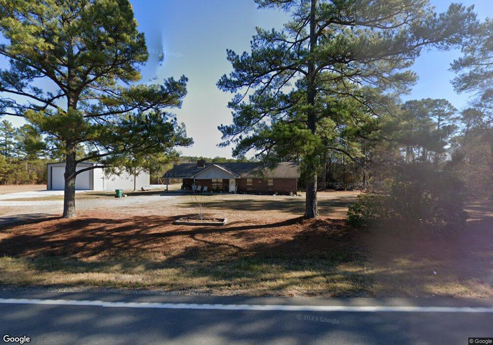
17432 Highway 9 Benton, AR 72019
Estimated Value: $159,000 - $251,000
--
Bed
2
Baths
1,544
Sq Ft
$141/Sq Ft
Est. Value
About This Home
This home is located at 17432 Highway 9, Benton, AR 72019 and is currently estimated at $218,233, approximately $141 per square foot. 17432 Highway 9 is a home located in Saline County with nearby schools including Bethel Middle School, Bryant Middle School, and Bryant High School.
Ownership History
Date
Name
Owned For
Owner Type
Purchase Details
Closed on
Nov 1, 2012
Sold by
Wilson Jeffrey Scott
Bought by
Wilson Jeffrey Scott and Wilson Tracy Ann
Current Estimated Value
Purchase Details
Closed on
Oct 31, 2000
Bought by
Wilson J
Purchase Details
Closed on
Apr 7, 1994
Bought by
Wilson
Purchase Details
Closed on
May 1, 1988
Bought by
Melvin
Create a Home Valuation Report for This Property
The Home Valuation Report is an in-depth analysis detailing your home's value as well as a comparison with similar homes in the area
Home Values in the Area
Average Home Value in this Area
Purchase History
| Date | Buyer | Sale Price | Title Company |
|---|---|---|---|
| Wilson Jeffrey Scott | -- | None Available | |
| Wilson J | -- | -- | |
| Wilson | $70,000 | -- | |
| Melvin | -- | -- |
Source: Public Records
Tax History Compared to Growth
Tax History
| Year | Tax Paid | Tax Assessment Tax Assessment Total Assessment is a certain percentage of the fair market value that is determined by local assessors to be the total taxable value of land and additions on the property. | Land | Improvement |
|---|---|---|---|---|
| 2025 | $1,577 | $37,777 | $3,904 | $33,873 |
| 2024 | $1,471 | $37,777 | $3,904 | $33,873 |
| 2023 | $1,134 | $37,777 | $3,904 | $33,873 |
| 2022 | $1,116 | $37,777 | $3,904 | $33,873 |
| 2021 | $1,053 | $27,280 | $2,440 | $24,840 |
| 2020 | $1,053 | $27,280 | $2,440 | $24,840 |
| 2019 | $1,053 | $27,280 | $2,440 | $24,840 |
| 2018 | $1,031 | $27,280 | $2,440 | $24,840 |
| 2017 | $970 | $27,280 | $2,440 | $24,840 |
| 2016 | $1,123 | $23,950 | $2,240 | $21,710 |
| 2015 | $1,123 | $23,950 | $2,240 | $21,710 |
| 2014 | $773 | $19,980 | $2,240 | $17,740 |
Source: Public Records
Map
Nearby Homes
- 000 Chock Rd
- 16471 Thomas Loop Rd
- 8814 Matt Daniels Ln
- 25000 Hub Rd
- 00 Horseshoe Mountain Rd
- 19300 Lake Winona Rd
- 22450 Ross Loop
- 22350 Ross Loop
- 22400 Ross Loop
- 6400 Whipporwill Dr
- 6413 Whipporwill Dr
- 9690 Gunter Loop
- 9706 Gunter Loop
- 9714 Gunter Loop
- 6407 Whipporwill Dr
- 6408 Whipporwill Dr
- 6100 Chickadee Dr
- 6102 Chickadee Dr
- 24124 Modlin Ln
- 24234 Dreamy Oaks Dr
- 17523 Highway 9
- 17122 Highway 9
- 16820 Unity Rd
- 17797 Highway 298
- 17779 Highway 298
- 13.45 Nethercutt Rd
- 4.5 acres Nethercutt Rd
- 17769 Highway 298
- 000 Nethercutt Rd Rd
- 21.75 Nethercutt Rd
- 0 Nethercutt Rd Unit 22025049
- 16577 Chock Rd
- 17173 Unity Rd
- 17311 Unity Rd
- 16330 Chock Rd
- 16280 Chock Rd Unit DWG
- 16224 Nethercutt Rd
- 16101 Nethercutt Rd
- 16400 Highway 9
- 17600 Cc Rd