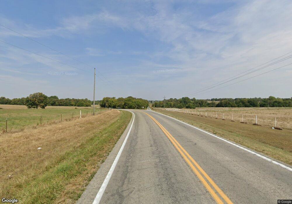
17443 State Highway 39 Aurora, MO 65605
Estimated Value: $470,000 - $551,000
3
Beds
4
Baths
3,200
Sq Ft
$160/Sq Ft
Est. Value
About This Home
This home is located at 17443 State Highway 39, Aurora, MO 65605 and is currently estimated at $510,500, approximately $159 per square foot. 17443 State Highway 39 is a home located in Barry County with nearby schools including Eunice Thomas Elementary School, Cassville Intermediate School, and Cassville Middle School.
Ownership History
Date
Name
Owned For
Owner Type
Purchase Details
Closed on
Jul 26, 2024
Sold by
Mcleod Perry and Mcleod Janice Lee
Bought by
Davison Jacob and Davison Tonya
Current Estimated Value
Home Financials for this Owner
Home Financials are based on the most recent Mortgage that was taken out on this home.
Original Mortgage
$193,554
Outstanding Balance
$188,522
Interest Rate
6.95%
Mortgage Type
New Conventional
Estimated Equity
$321,978
Create a Home Valuation Report for This Property
The Home Valuation Report is an in-depth analysis detailing your home's value as well as a comparison with similar homes in the area
Home Values in the Area
Average Home Value in this Area
Purchase History
| Date | Buyer | Sale Price | Title Company |
|---|---|---|---|
| Davison Jacob | -- | Barry County Abstract & Title |
Source: Public Records
Mortgage History
| Date | Status | Borrower | Loan Amount |
|---|---|---|---|
| Open | Davison Jacob | $193,554 |
Source: Public Records
Tax History Compared to Growth
Tax History
| Year | Tax Paid | Tax Assessment Tax Assessment Total Assessment is a certain percentage of the fair market value that is determined by local assessors to be the total taxable value of land and additions on the property. | Land | Improvement |
|---|---|---|---|---|
| 2025 | $2,471 | $72,131 | $3,141 | $68,990 |
| 2024 | $2,471 | $53,891 | $3,141 | $50,750 |
| 2023 | $2,470 | $53,891 | $3,141 | $50,750 |
| 2022 | $2,461 | $53,701 | $2,951 | $50,750 |
| 2021 | $2,453 | $53,321 | $2,571 | $50,750 |
| 2020 | $2,453 | $53,321 | $2,571 | $50,750 |
| 2018 | $1,564 | $44,500 | $3,114 | $41,386 |
| 2017 | $1,968 | $43,968 | $3,114 | $40,854 |
| 2016 | $1,736 | $38,247 | $2,734 | $35,513 |
| 2015 | -- | $38,247 | $2,734 | $35,513 |
| 2014 | -- | $38,175 | $2,662 | $35,513 |
| 2012 | -- | $0 | $0 | $0 |
Source: Public Records
Map
Nearby Homes
- 19358 Farm Road 2145
- 25248 State Highway 76
- 22281 Farm Road 2180
- 000 State Highway 76
- 24461 Scenic Valley Dr
- 21814 State Hwy 248
- 22275 State Highway 248
- 25032 Stallion Bluff Rd
- 16478 Farm Road 1170
- 24352 State Highway Ee
- 10 Acres Stallion Bluff Rd
- 000 Stallion Bluff Rd
- 000 State Highway 248-Tract 2
- 27535 Farm Road 2150
- 24338 Private Road 2197
- 17984 State Highway 248
- 23590 State Highway 39
- 000 Farm Road 2190
- 26252 State Highway 248
- 16257 Farm Road 2175
- 17632 State Hwy Z
- 0 S Hwy 39 Unit 504677
- 0 S Hwy 39 Unit 10712464
- Tbd S Hwy 39
- 0 S Hwy 39 Unit 10800187
- 0 S Hwy 39 Unit 10816242
- 0 S Hwy 39 Unit 11110727
- 0 S Hwy 39 Unit 10913369
- 0 S Hwy 39 Unit 10919989
- 0 S Hwy 39 Unit 11108957
- 18054 State Hwy 39
- 17164 State Highway 39
- 16799 State Highway 39
- 16799 State Highway 39
- 16455 Farm Road 1212
- 18054 State Highway 39
- 16647 Farm Road 1212
- 16035 Farm Road 1212
- 16032 Farm Road 1212
- 16534 State Highway 39
