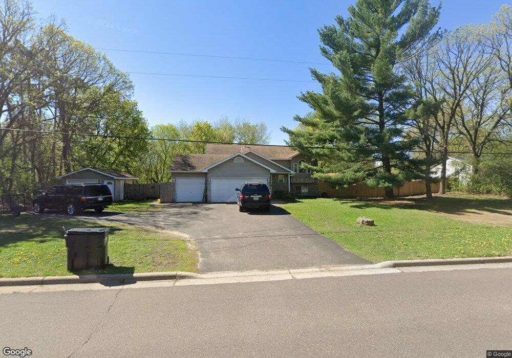
1748 Andover Blvd NW Andover, MN 55304
Estimated Value: $345,000 - $411,039
3
Beds
2
Baths
1,058
Sq Ft
$365/Sq Ft
Est. Value
About This Home
This home is located at 1748 Andover Blvd NW, Andover, MN 55304 and is currently estimated at $385,760, approximately $364 per square foot. 1748 Andover Blvd NW is a home located in Anoka County with nearby schools including Andover Elementary School, Oak View Middle School, and Andover Senior High School.
Ownership History
Date
Name
Owned For
Owner Type
Purchase Details
Closed on
Apr 24, 2006
Sold by
Merk Troy and Merk Karen
Bought by
Bonnema Jason M and Bonnema Margaret M
Current Estimated Value
Purchase Details
Closed on
May 29, 2003
Sold by
Kallestad Jonathan S and Kallestad Kelly M
Bought by
Menk Troy
Purchase Details
Closed on
Dec 15, 1997
Sold by
Steven Boie Const
Bought by
Kallestad Jonathan and Holmes Kelly M
Purchase Details
Closed on
Sep 11, 1997
Sold by
Jennings Randolph S and Jennings Julie A
Bought by
Steven Boie Construction
Create a Home Valuation Report for This Property
The Home Valuation Report is an in-depth analysis detailing your home's value as well as a comparison with similar homes in the area
Home Values in the Area
Average Home Value in this Area
Purchase History
| Date | Buyer | Sale Price | Title Company |
|---|---|---|---|
| Bonnema Jason M | $262,900 | -- | |
| Menk Troy | $237,000 | -- | |
| Kallestad Jonathan | $120,600 | -- | |
| Steven Boie Construction | $30,000 | -- |
Source: Public Records
Tax History Compared to Growth
Tax History
| Year | Tax Paid | Tax Assessment Tax Assessment Total Assessment is a certain percentage of the fair market value that is determined by local assessors to be the total taxable value of land and additions on the property. | Land | Improvement |
|---|---|---|---|---|
| 2025 | $3,750 | $381,900 | $126,400 | $255,500 |
| 2024 | $3,750 | $362,200 | $118,200 | $244,000 |
| 2023 | $3,484 | $358,400 | $107,000 | $251,400 |
| 2022 | $3,039 | $364,300 | $103,500 | $260,800 |
| 2021 | $2,843 | $289,500 | $74,600 | $214,900 |
| 2020 | $2,886 | $266,500 | $64,800 | $201,700 |
| 2019 | $2,688 | $262,300 | $64,800 | $197,500 |
| 2018 | $2,611 | $241,200 | $0 | $0 |
| 2017 | $2,368 | $230,700 | $0 | $0 |
| 2016 | $2,379 | $202,800 | $0 | $0 |
| 2015 | -- | $202,800 | $57,000 | $145,800 |
| 2014 | -- | $170,900 | $41,600 | $129,300 |
Source: Public Records
Map
Nearby Homes
- 14553 Ibis St NW
- 14395 Partridge St NW
- 14404 Osage St NW
- 14994 Crane St NW
- 13919 Nightingale St NW
- 1184 143rd Ave NW
- 2066 151st Ave NW
- 2080 151st Ave NW
- 1096 142nd Ave NW
- 14023 Yellow Pine St NW
- 13993 Crosstown Blvd NW
- 15285 Quinn St NW
- 14931 Sycamore St NW
- 1253 152nd Ave NW
- 2334 Veterans Memorial Blvd NW
- 930 151st Ave NW
- 15104 Sycamore St NW
- 15141 Partridge St NW
- 13624 Partridge Cir NW
- 936 150th Ln NW
- 1762 Andover Blvd NW
- 1736 1736 Andover-Boulevard-nw
- 14520 Jay St NW
- 1806 Andover Blvd NW
- 14531 Jay St NW
- 14532 Jay St NW
- 1805 Andover Blvd NW
- 14516 Ibis St NW
- 1718 Andover Blvd NW
- 14528 Ibis St NW
- 1815 Andover Blvd NW
- 14543 Jay St NW
- 1816 Andover Blvd NW
- 14544 Jay St NW
- 1826 Andover Blvd NW
- 14540 Ibis St NW
- 1680 Andover Blvd NW
- 14460 Hummingbird St NW
- 14555 Jay St NW
- 14456 Hummingbird St NW