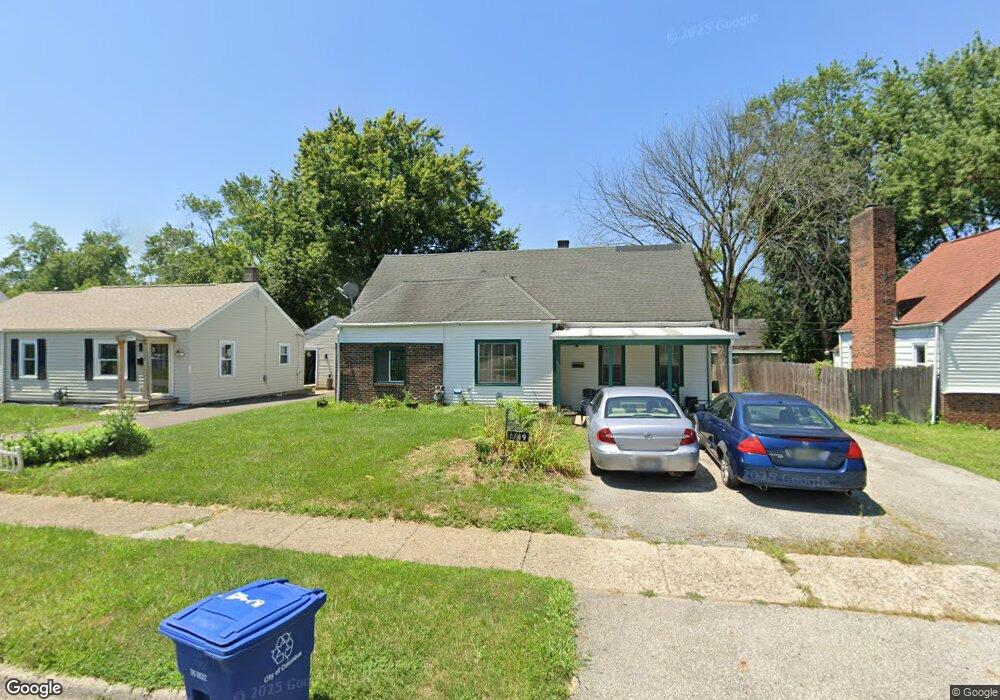
1749 Lancashire Rd Columbus, OH 43219
Brittany Hills NeighborhoodEstimated Value: $163,648 - $217,000
3
Beds
1
Bath
1,569
Sq Ft
$126/Sq Ft
Est. Value
About This Home
This home is located at 1749 Lancashire Rd, Columbus, OH 43219 and is currently estimated at $197,412, approximately $125 per square foot. 1749 Lancashire Rd is a home located in Franklin County with nearby schools including South Mifflin Stem Academy (K-6), Linden-Mckinley Stem School On Arcadia, and Cesar Chavez College Preparatory School.
Ownership History
Date
Name
Owned For
Owner Type
Purchase Details
Closed on
Jul 12, 2025
Sold by
Mclaughlin Alethea L and Mclaughlin James Lowanda
Bought by
Mclaughlin Terri L
Current Estimated Value
Purchase Details
Closed on
Jul 25, 2024
Sold by
Marrow Karalyn A and Mclaughlin Karalyn A
Bought by
Mclaughlin Terri Loretta
Purchase Details
Closed on
Feb 20, 1979
Bought by
Mclaughlin Loretta I
Create a Home Valuation Report for This Property
The Home Valuation Report is an in-depth analysis detailing your home's value as well as a comparison with similar homes in the area
Home Values in the Area
Average Home Value in this Area
Purchase History
| Date | Buyer | Sale Price | Title Company |
|---|---|---|---|
| Mclaughlin Terri L | -- | None Listed On Document | |
| Mclaughlin Terri Loretta | $64,200 | None Listed On Document | |
| Mclaughlin Loretta I | -- | -- |
Source: Public Records
Tax History Compared to Growth
Tax History
| Year | Tax Paid | Tax Assessment Tax Assessment Total Assessment is a certain percentage of the fair market value that is determined by local assessors to be the total taxable value of land and additions on the property. | Land | Improvement |
|---|---|---|---|---|
| 2024 | $2,515 | $44,940 | $7,980 | $36,960 |
| 2023 | $1,991 | $44,940 | $7,980 | $36,960 |
| 2022 | $1,487 | $28,670 | $2,630 | $26,040 |
| 2021 | $1,035 | $28,670 | $2,630 | $26,040 |
| 2020 | $1,036 | $28,670 | $2,630 | $26,040 |
| 2019 | $839 | $22,580 | $2,100 | $20,480 |
| 2018 | $862 | $22,580 | $2,100 | $20,480 |
| 2017 | $907 | $22,580 | $2,100 | $20,480 |
| 2016 | $976 | $23,490 | $2,630 | $20,860 |
| 2015 | $886 | $23,490 | $2,630 | $20,860 |
| 2014 | $889 | $23,490 | $2,630 | $20,860 |
| 2013 | $515 | $26,075 | $2,905 | $23,170 |
Source: Public Records
Map
Nearby Homes
- 1794 Devonshire Rd
- 1808 Brentnell Ave
- 1790 Marston Rd
- 1882 Dunning Rd
- 1789 Marston Rd
- 2398 Dunkirk Dr
- 2336 Edenburgh Dr S
- 2228 Holt Ave
- 2483 Vendome Dr
- 2471 Mock Rd
- 0 Mock Rd
- 2363 Holt Ave
- 1978 Argyle Dr
- 2054 Jermain Dr
- 1991 Woodland Ave
- 2424 Holt Ave
- 0 Danby Dr
- 0 Rankin Ave Unit (Rear)
- 1860 Meadowlawn Dr Unit 75
- 2736 Bellero Way Unit 94
- 1757 Lancashire Rd
- 1741 Lancashire Rd
- 1754 Devonshire Rd
- 1733 Lancashire Rd
- 1765 Lancashire Rd
- 1762 Devonshire Rd
- 1748 Devonshire Rd
- 1748 Lancashire Rd
- 1770 Devonshire Rd
- 1738 Devonshire Rd
- 1756 Lancashire Rd
- 1740 Lancashire Rd
- 1773 Lancashire Rd
- 1734 Lancashire Rd
- 1732 Lancashire Rd
- 1764 Lancashire Rd
- 1778 Devonshire Rd
- 1717 Lancashire Rd
- 1732 Devonshire Rd
- 1781 Lancashire Rd