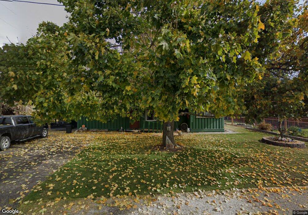
175 4th Ave E Columbia Falls, MT 59912
Estimated Value: $401,000 - $425,000
2
Beds
1
Bath
1,296
Sq Ft
$320/Sq Ft
Est. Value
About This Home
This home is located at 175 4th Ave E, Columbia Falls, MT 59912 and is currently estimated at $415,253, approximately $320 per square foot. 175 4th Ave E is a home located in Flathead County with nearby schools including Glacier Gateway Elementary School, Columbia Falls Junior High School (7-8), and Columbia Falls High School.
Ownership History
Date
Name
Owned For
Owner Type
Purchase Details
Closed on
May 13, 2013
Sold by
Livingston James B
Bought by
Livingston James B and Livingston Arleea M
Current Estimated Value
Purchase Details
Closed on
Oct 22, 2009
Sold by
Washburn Michael W and Washburn Marilyn A
Bought by
Livingston James B
Home Financials for this Owner
Home Financials are based on the most recent Mortgage that was taken out on this home.
Original Mortgage
$143,355
Outstanding Balance
$92,841
Interest Rate
4.92%
Mortgage Type
FHA
Estimated Equity
$322,412
Create a Home Valuation Report for This Property
The Home Valuation Report is an in-depth analysis detailing your home's value as well as a comparison with similar homes in the area
Home Values in the Area
Average Home Value in this Area
Purchase History
| Date | Buyer | Sale Price | Title Company |
|---|---|---|---|
| Livingston James B | -- | None Available | |
| Livingston James B | -- | First American Title Company |
Source: Public Records
Mortgage History
| Date | Status | Borrower | Loan Amount |
|---|---|---|---|
| Open | Livingston James B | $143,355 |
Source: Public Records
Tax History
| Year | Tax Paid | Tax Assessment Tax Assessment Total Assessment is a certain percentage of the fair market value that is determined by local assessors to be the total taxable value of land and additions on the property. | Land | Improvement |
|---|---|---|---|---|
| 2025 | $1,656 | $382,600 | $0 | $0 |
| 2024 | $2,040 | $289,700 | $0 | $0 |
| 2023 | $2,166 | $289,700 | $0 | $0 |
| 2022 | $2,382 | $224,500 | $0 | $0 |
| 2021 | $2,484 | $224,500 | $0 | $0 |
| 2020 | $2,129 | $177,600 | $0 | $0 |
| 2019 | $2,022 | $177,600 | $0 | $0 |
| 2018 | $1,774 | $147,800 | $0 | $0 |
| 2017 | $1,718 | $147,800 | $0 | $0 |
| 2016 | $1,642 | $138,500 | $0 | $0 |
| 2015 | $1,630 | $138,500 | $0 | $0 |
| 2014 | $1,839 | $95,400 | $0 | $0 |
Source: Public Records
Map
Nearby Homes
- 556 7th Avenue East N
- 46 Council Bluffs Dr
- 1327 1st Ave E
- 540 Nucleus Ave Unit 304
- 1020 3rd Ave E
- 943 Frontage Rd
- 36 13th St E
- 986 3rd Street West N
- 290 Larch Ridge
- 809 9th St W Unit 1
- 809 9th St W Unit 14
- 809 9th St W Unit 17
- 1069 3rd Street West N
- Lots 30, 31, 32 Highway 2 E
- 1154 3rd Street West N
- 1154 3rd Ave W
- 929 9th St W
- 1005 10th St W
- 1629 4th Ave W Unit 103
- 1130 10th Ave W
- 255 4th St W
- 170 5th Ave E N
- 170 5th Ave E
- 170 5th Avenue East N
- 427 1st Street East N
- 260 4th Ave East N
- 380 A Street East N Unit EN
- 260 4th Avenue East N
- 260 4th St W
- 409 1st Ave W
- 170 4th Ave E
- 276 5th Ave E Unit EN
- 418 1st Street East N
- 169 Tierhaven Ln
- 517 1st Ave N
- 1084 1st Street East N
- 103 4th Ave E
- 169 5th Avenue East N
- 169 5th Ave E
Your Personal Tour Guide
Ask me questions while you tour the home.