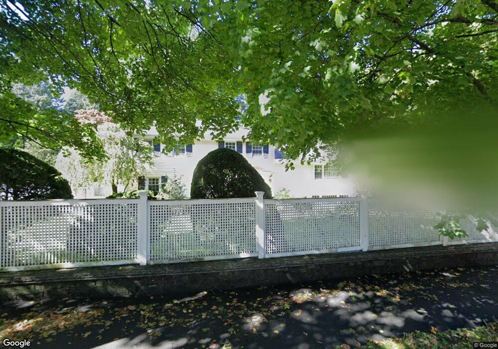
175 Chestnut St West Newton, MA 02465
West Newton NeighborhoodEstimated Value: $1,991,000 - $2,857,000
5
Beds
4
Baths
3,948
Sq Ft
$571/Sq Ft
Est. Value
About This Home
This home is located at 175 Chestnut St, West Newton, MA 02465 and is currently estimated at $2,254,923, approximately $571 per square foot. 175 Chestnut St is a home located in Middlesex County with nearby schools including Peirce Elementary School, F.A. Day Middle School, and Newton North High School.
Ownership History
Date
Name
Owned For
Owner Type
Purchase Details
Closed on
Jul 20, 2007
Sold by
Bhatia Varun
Bought by
Andreae Nathalie Cao and Andreae Timothy R
Current Estimated Value
Purchase Details
Closed on
Jun 3, 2003
Sold by
Westen Laura A and Westen Drew
Bought by
Bhatia Varun
Purchase Details
Closed on
Aug 21, 2000
Sold by
Whittemore Nicholas and Whittemore Suzanne
Bought by
Westen Drew and Westen Laura A
Purchase Details
Closed on
Aug 20, 1998
Sold by
Ferestien Alan L and Ferestien Ronnie L
Bought by
Whittemore Nicholas and Whittemore Suzanne
Create a Home Valuation Report for This Property
The Home Valuation Report is an in-depth analysis detailing your home's value as well as a comparison with similar homes in the area
Home Values in the Area
Average Home Value in this Area
Purchase History
| Date | Buyer | Sale Price | Title Company |
|---|---|---|---|
| Andreae Nathalie Cao | $1,225,000 | -- | |
| Bhatia Varun | $1,082,000 | -- | |
| Westen Drew | $942,500 | -- | |
| Whittemore Nicholas | $620,000 | -- |
Source: Public Records
Mortgage History
| Date | Status | Borrower | Loan Amount |
|---|---|---|---|
| Open | Whittemore Nicholas | $724,000 |
Source: Public Records
Tax History
| Year | Tax Paid | Tax Assessment Tax Assessment Total Assessment is a certain percentage of the fair market value that is determined by local assessors to be the total taxable value of land and additions on the property. | Land | Improvement |
|---|---|---|---|---|
| 2025 | $17,756 | $1,811,800 | $1,387,900 | $423,900 |
| 2024 | $17,168 | $1,759,000 | $1,347,500 | $411,500 |
| 2023 | $16,246 | $1,595,900 | $1,072,100 | $523,800 |
| 2022 | $15,545 | $1,477,700 | $992,700 | $485,000 |
| 2021 | $15,001 | $1,394,100 | $936,500 | $457,600 |
| 2020 | $14,554 | $1,394,100 | $936,500 | $457,600 |
| 2019 | $14,144 | $1,353,500 | $909,200 | $444,300 |
| 2018 | $13,513 | $1,248,900 | $809,600 | $439,300 |
| 2017 | $13,102 | $1,178,200 | $763,800 | $414,400 |
| 2016 | $12,525 | $1,100,600 | $713,800 | $386,800 |
| 2015 | $11,942 | $1,028,600 | $667,100 | $361,500 |
Source: Public Records
Map
Nearby Homes
- 18 Sewall St
- 40 Sewall St
- 73 Valentine St
- 97 Valentine St
- 27 Tennyson Rd
- 1230 Commonwealth Ave
- 0 Duncan Rd Unit 72925240
- 8 Curve St
- 383 Cherry St Unit 383
- 1151 Commonwealth Ave
- 19 Gordon Rd
- 14 Wedgewood Rd
- 16 Elm St Unit 16
- 2 Elm St Unit 2
- 106 River St Unit 18
- 8 Elm St Unit 8
- 14 Cottage Place Unit 14
- 975 Washington Streeet
- 55 Grove Hill Park
- 7 Sharon Ave Unit 7
- 173 Highland St
- 5 Wykeham Rd
- 201 Highland St
- 180 Highland St
- 165 Highland St
- 165 Highland St Unit 1
- 15 Wykeham Rd
- 174 Highland St
- 170 Chestnut St
- 215 Highland St
- 200 Highland St
- 6 Crocker Cir
- 160 Chestnut St
- 8 Ascenta Terrace
- 12 Crocker Cir
- 9 Burnham Rd
- 8 Wykeham Rd
- 20 Ascenta Terrace
- 156 Highland St
- 4 Ascenta Terrace
Your Personal Tour Guide
Ask me questions while you tour the home.