175 Jamison Ln Unit 204 Cookeville, TN 38501
Dodson Branch NeighborhoodEstimated Value: $346,444 - $496,000
--
Bed
1
Bath
1,952
Sq Ft
$212/Sq Ft
Est. Value
About This Home
This home is located at 175 Jamison Ln Unit 204, Cookeville, TN 38501 and is currently estimated at $414,148, approximately $212 per square foot. 175 Jamison Ln Unit 204 is a home located in Jackson County with nearby schools including Jackson County High School.
Ownership History
Date
Name
Owned For
Owner Type
Purchase Details
Closed on
Nov 24, 2009
Sold by
Wood Mary Ellen
Bought by
Scott Charles E
Current Estimated Value
Purchase Details
Closed on
Oct 2, 1997
Sold by
Wood Alan D
Bought by
Bennett Harold F
Purchase Details
Closed on
Dec 15, 1994
Bought by
Wood Alan D and Wood Mary Ellen
Purchase Details
Closed on
Sep 14, 1992
Bought by
Mason Richard
Purchase Details
Closed on
Dec 14, 1991
Bought by
Dexter Joe and Dexter Rosemary
Purchase Details
Closed on
Aug 3, 1990
Bought by
Cox Bruce and Donna Lou
Purchase Details
Closed on
Dec 8, 1989
Bought by
Dexter Joe and Dexter Rosemary
Purchase Details
Closed on
Aug 17, 1983
Bought by
Gentry Freeman and Gentry Ruth
Create a Home Valuation Report for This Property
The Home Valuation Report is an in-depth analysis detailing your home's value as well as a comparison with similar homes in the area
Home Values in the Area
Average Home Value in this Area
Purchase History
| Date | Buyer | Sale Price | Title Company |
|---|---|---|---|
| Scott Charles E | $25,000 | -- | |
| Bennett Harold F | $1,000 | -- | |
| Wood Alan D | $103,000 | -- | |
| Mason Richard | $57,500 | -- | |
| Dexter Joe | $27,500 | -- | |
| Cox Bruce | -- | -- | |
| Dexter Joe | -- | -- | |
| Gentry Freeman | -- | -- |
Source: Public Records
Tax History Compared to Growth
Tax History
| Year | Tax Paid | Tax Assessment Tax Assessment Total Assessment is a certain percentage of the fair market value that is determined by local assessors to be the total taxable value of land and additions on the property. | Land | Improvement |
|---|---|---|---|---|
| 2024 | $1,387 | $54,400 | $7,000 | $47,400 |
| 2023 | $1,387 | $54,400 | $7,000 | $47,400 |
| 2022 | $1,223 | $54,400 | $7,000 | $47,400 |
| 2021 | $1,223 | $54,400 | $7,000 | $47,400 |
| 2020 | $1,283 | $54,400 | $7,000 | $47,400 |
| 2019 | $1,283 | $46,000 | $6,175 | $39,825 |
| 2018 | $1,283 | $46,000 | $6,175 | $39,825 |
| 2017 | $1,332 | $47,750 | $7,925 | $39,825 |
| 2016 | $1,333 | $47,750 | $7,925 | $39,825 |
| 2015 | $1,361 | $47,750 | $7,925 | $39,825 |
| 2014 | $1,461 | $51,275 | $6,900 | $44,375 |
Source: Public Records
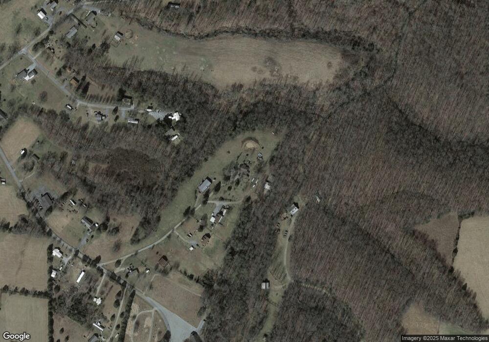
Map
Nearby Homes
- 0 Dodson Branch Rd Unit RTC2965059
- 16308 Dodson Branch Hwy
- 135 Young Mill Ln
- 00 Hardscrabble Ln
- 0 Hardscrabble Ln
- 132 Judd Ln
- 15826 Dodson Branch Hwy
- 388 Albert Swift Ln
- 15112 Dodson Branch Hwy
- 343 Mabry School Rd
- 7630 Walking Horse Ln
- 259 Freewill Ridge Rd Unit 291
- 5.2 AC Waterloo Rd
- 7031 S Smith Chapel Rd
- 8999 Waterloo Rd
- 176 Jamison Ln
- 491 Old Dodson Branch Rd
- 184 Circle Ln
- 172 Circle Ln
- 173 Circle Ln
- 154 Circle Ln
- 235 Old Dodson Branch Rd
- 220 Old Dodson Branch Rd
- 135 Circle Ln
- 403 Old Dodson Branch Rd
- 149 Old Dodson Branch Rd
- 252 Old Dodson Branch Rd
- 186 Smith Ln
- 178 Smith Ln
- 107 Circle Ln
- 443 Old Dodson Branch Rd
- 250 Smith Ln
- 50 AC. Smith Ln
- 110 Circle Ln
- 115 Old Dodson Branch Rd