175 Milton St Unit 2 Milton, MA 02186
Estimated Value: $546,000 - $743,000
2
Beds
2
Baths
1,020
Sq Ft
$650/Sq Ft
Est. Value
About This Home
This home is located at 175 Milton St Unit 2, Milton, MA 02186 and is currently estimated at $663,399, approximately $650 per square foot. 175 Milton St Unit 2 is a home located in Norfolk County with nearby schools including Milton High School, Boston Renaissance Charter Public School, and Academy of the Pacific Rim Charter Public School.
Ownership History
Date
Name
Owned For
Owner Type
Purchase Details
Closed on
Feb 21, 2018
Sold by
Maclean Kirsten W
Bought by
Kirsten W Maclean Ret
Current Estimated Value
Purchase Details
Closed on
Jan 20, 2009
Sold by
Cuccia Deborah G and Griffin John T
Bought by
Maclean Kirsten
Home Financials for this Owner
Home Financials are based on the most recent Mortgage that was taken out on this home.
Original Mortgage
$135,000
Interest Rate
5.52%
Mortgage Type
Purchase Money Mortgage
Purchase Details
Closed on
Oct 12, 2006
Sold by
Cuccia Deborah G and Cuccia Michael R
Bought by
Cuccia Deborah G
Create a Home Valuation Report for This Property
The Home Valuation Report is an in-depth analysis detailing your home's value as well as a comparison with similar homes in the area
Purchase History
| Date | Buyer | Sale Price | Title Company |
|---|---|---|---|
| Kirsten W Maclean Ret | -- | -- | |
| Maclean Kirsten | $350,000 | -- | |
| Cuccia Deborah G | -- | -- |
Source: Public Records
Mortgage History
| Date | Status | Borrower | Loan Amount |
|---|---|---|---|
| Previous Owner | Maclean Kirsten | $135,000 |
Source: Public Records
Tax History
| Year | Tax Paid | Tax Assessment Tax Assessment Total Assessment is a certain percentage of the fair market value that is determined by local assessors to be the total taxable value of land and additions on the property. | Land | Improvement |
|---|---|---|---|---|
| 2025 | $5,354 | $482,800 | $0 | $482,800 |
| 2024 | $5,317 | $486,900 | $0 | $486,900 |
| 2023 | $5,515 | $483,800 | $0 | $483,800 |
| 2022 | $5,473 | $438,900 | $0 | $438,900 |
| 2021 | $5,576 | $424,700 | $0 | $424,700 |
| 2020 | $5,134 | $391,300 | $0 | $391,300 |
| 2019 | $5,066 | $384,400 | $0 | $384,400 |
| 2018 | $4,954 | $358,700 | $0 | $358,700 |
| 2017 | $4,864 | $358,700 | $0 | $358,700 |
| 2016 | $4,660 | $345,200 | $0 | $345,200 |
| 2015 | $4,504 | $323,100 | $0 | $323,100 |
Source: Public Records
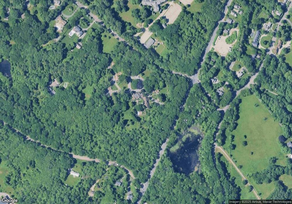
Map
Nearby Homes
- 1386 Canton Ave
- 241 Neponset Valley Pkwy Unit 241
- 31 Badger Rd
- 15 Yuill Cir Unit 2
- 10 Van Brunt St
- 24 Prescott St Unit 3
- 24 Prescott St Unit 1
- 94 Durham Rd
- 86 Durham Rd
- 88 Durham Rd
- 2 Leominster Rd
- 51 Lancaster Rd
- 200 Robbins St
- 71 Readville St Unit B
- 71 Readville St Unit A
- 5 Kinsale Ln
- 12 Norton St
- 6 Kinsale Ln
- 14 Winter St
- 49 Summit St
- 175 Milton St Unit 21
- 175 Milton St
- 175 Milton St Unit 20
- 175 Milton St Unit 19
- 175 Milton St Unit 18
- 175 Milton St Unit 17
- 175 Milton St Unit 16
- 175 Milton St Unit 15
- 175 Milton St Unit 14
- 175 Milton St Unit 13
- 175 Milton St Unit 12
- 175 Milton St Unit 11
- 175 Milton St Unit 10
- 175 Milton St Unit 9
- 175 Milton St Unit 8
- 175 Milton St Unit 7
- 175 Milton St Unit 6
- 175 Milton St Unit 5
- 175 Milton St Unit 4
- 175 Milton St Unit 3
Your Personal Tour Guide
Ask me questions while you tour the home.