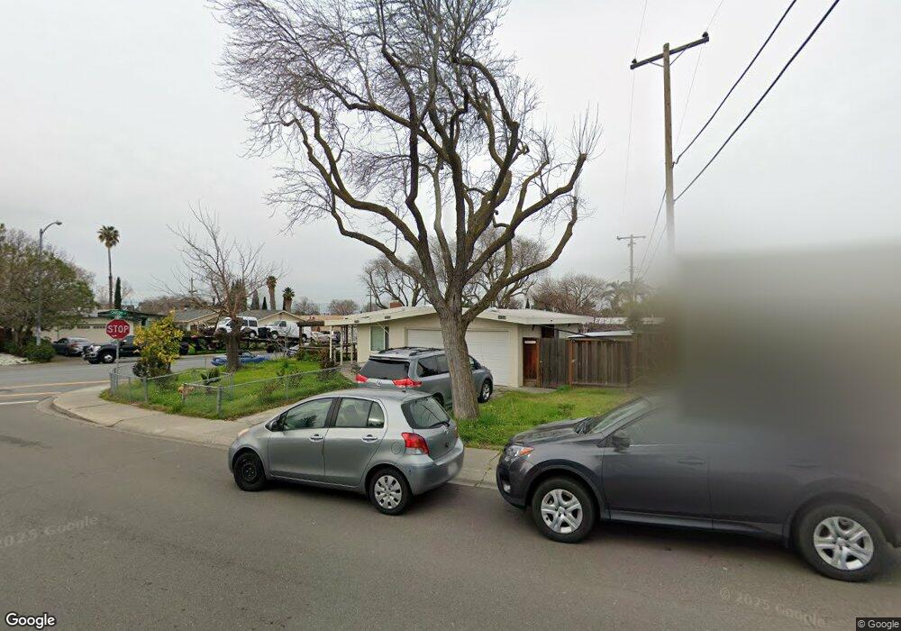
175 S Gadsden Dr Milpitas, CA 95035
Estimated Value: $1,130,000 - $1,393,692
3
Beds
3
Baths
1,187
Sq Ft
$1,076/Sq Ft
Est. Value
About This Home
This home is located at 175 S Gadsden Dr, Milpitas, CA 95035 and is currently estimated at $1,277,173, approximately $1,075 per square foot. 175 S Gadsden Dr is a home located in Santa Clara County with nearby schools including Alexander Rose Elementary School, Rancho Milpitas Middle School, and Milpitas High School.
Ownership History
Date
Name
Owned For
Owner Type
Purchase Details
Closed on
Jun 20, 2008
Sold by
Us Bank Na
Bought by
Lu Benjamin K and Wu Jiean
Current Estimated Value
Home Financials for this Owner
Home Financials are based on the most recent Mortgage that was taken out on this home.
Original Mortgage
$200,000
Interest Rate
6.31%
Mortgage Type
Purchase Money Mortgage
Purchase Details
Closed on
Jan 23, 2008
Sold by
Kielty Jerome I and Kielty Patricia S
Bought by
Us Bank Na
Purchase Details
Closed on
Mar 29, 2005
Sold by
Fenner Jim and Fenner Anita
Bought by
Kielty Jerome I and Kielty Patricia S
Home Financials for this Owner
Home Financials are based on the most recent Mortgage that was taken out on this home.
Original Mortgage
$432,000
Interest Rate
5.87%
Mortgage Type
Purchase Money Mortgage
Purchase Details
Closed on
Feb 14, 2005
Sold by
Cherniss Eldon B and Cherniss Nancy S
Bought by
Fenner Jim and Fenner Anita
Home Financials for this Owner
Home Financials are based on the most recent Mortgage that was taken out on this home.
Original Mortgage
$432,000
Interest Rate
5.87%
Mortgage Type
Purchase Money Mortgage
Purchase Details
Closed on
Feb 4, 1999
Sold by
Cherniss Eldon B and Cherniss Nancy
Bought by
Cherniss Eldon B and Cherniss Nancy S
Purchase Details
Closed on
Aug 24, 1998
Sold by
Cherniss Eldon B
Bought by
Cherniss Eldon B and Cherniss Nancy
Home Financials for this Owner
Home Financials are based on the most recent Mortgage that was taken out on this home.
Original Mortgage
$179,000
Interest Rate
6.91%
Purchase Details
Closed on
Jul 26, 1996
Sold by
Cherniss Nancy
Bought by
Cherniss Eldon B
Home Financials for this Owner
Home Financials are based on the most recent Mortgage that was taken out on this home.
Original Mortgage
$135,372
Interest Rate
8.39%
Create a Home Valuation Report for This Property
The Home Valuation Report is an in-depth analysis detailing your home's value as well as a comparison with similar homes in the area
Home Values in the Area
Average Home Value in this Area
Purchase History
| Date | Buyer | Sale Price | Title Company |
|---|---|---|---|
| Lu Benjamin K | $430,000 | First American Title Co | |
| Us Bank Na | $405,000 | Accommodation | |
| Kielty Jerome I | $472,000 | -- | |
| Fenner Jim | $519,000 | Commonwealth Land Title | |
| Cherniss Eldon B | -- | -- | |
| Cherniss Eldon B | -- | Fidelity National Title Co | |
| Cherniss Eldon B | -- | Fidelity National Title Co | |
| Cherniss Eldon B | $163,500 | Fidelity National Title Co |
Source: Public Records
Mortgage History
| Date | Status | Borrower | Loan Amount |
|---|---|---|---|
| Closed | Lu Benjamin K | $200,000 | |
| Previous Owner | Kielty Jerome I | $432,000 | |
| Previous Owner | Fenner Jim | $470,000 | |
| Previous Owner | Cherniss Eldon B | $179,000 | |
| Previous Owner | Cherniss Eldon B | $135,372 | |
| Closed | Cherniss Eldon B | $30,573 |
Source: Public Records
Tax History
| Year | Tax Paid | Tax Assessment Tax Assessment Total Assessment is a certain percentage of the fair market value that is determined by local assessors to be the total taxable value of land and additions on the property. | Land | Improvement |
|---|---|---|---|---|
| 2025 | $6,683 | $579,478 | $434,612 | $144,866 |
| 2024 | $6,683 | $568,117 | $426,091 | $142,026 |
| 2023 | $6,660 | $556,979 | $417,737 | $139,242 |
| 2022 | $6,634 | $546,059 | $409,547 | $136,512 |
| 2021 | $6,536 | $535,353 | $401,517 | $133,836 |
| 2020 | $6,422 | $529,864 | $397,400 | $132,464 |
| 2019 | $6,349 | $519,475 | $389,608 | $129,867 |
| 2018 | $6,032 | $509,290 | $381,969 | $127,321 |
| 2017 | $5,953 | $499,305 | $374,480 | $124,825 |
| 2016 | $5,711 | $489,516 | $367,138 | $122,378 |
| 2015 | $5,652 | $482,164 | $361,624 | $120,540 |
| 2014 | $5,494 | $472,720 | $354,541 | $118,179 |
Source: Public Records
Map
Nearby Homes
- 136 Lawton Dr
- 397 S Park Victoria Dr
- 496 Dempsey Rd Unit 199
- 484 Dempsey Rd Unit 186
- 25 Terfidia Ln
- 258 Lynn Ave
- 808 Cameron Cir
- 1260 Glacier Dr
- 1995 Old Calaveras Rd
- 2202 Yosemite Dr
- 1490 Mount Diablo Ave
- 2235 Skyline Dr
- 1759 Tahoe Dr
- 685 Parvin Dr
- 1430 Cuciz Ln
- 137 Caladenia Ln
- 1103 Creed St
- 1000 Jacklin Rd
- 2144 Ashwood Ln
- 3647 Madrid Dr
- 155 S Gadsden Dr
- 1469 Canton Dr
- 145 S Gadsden Dr
- 1501 Canton Dr
- 1468 Canton Dr
- 1456 Canton Dr
- 1476 Canton Dr
- 1450 Canton Dr
- 1459 Canton Dr
- 135 S Gadsden Dr
- 1484 Canton Dr
- 1444 Canton Dr
- 170 S Gadsden Dr
- 1511 Canton Dr
- 140 Solar Ct
- 160 S Gadsden Dr
- 1496 Canton Dr
- 150 S Gadsden Dr
- 125 S Gadsden Dr Unit 1
- 1438 Canton Dr
Your Personal Tour Guide
Ask me questions while you tour the home.