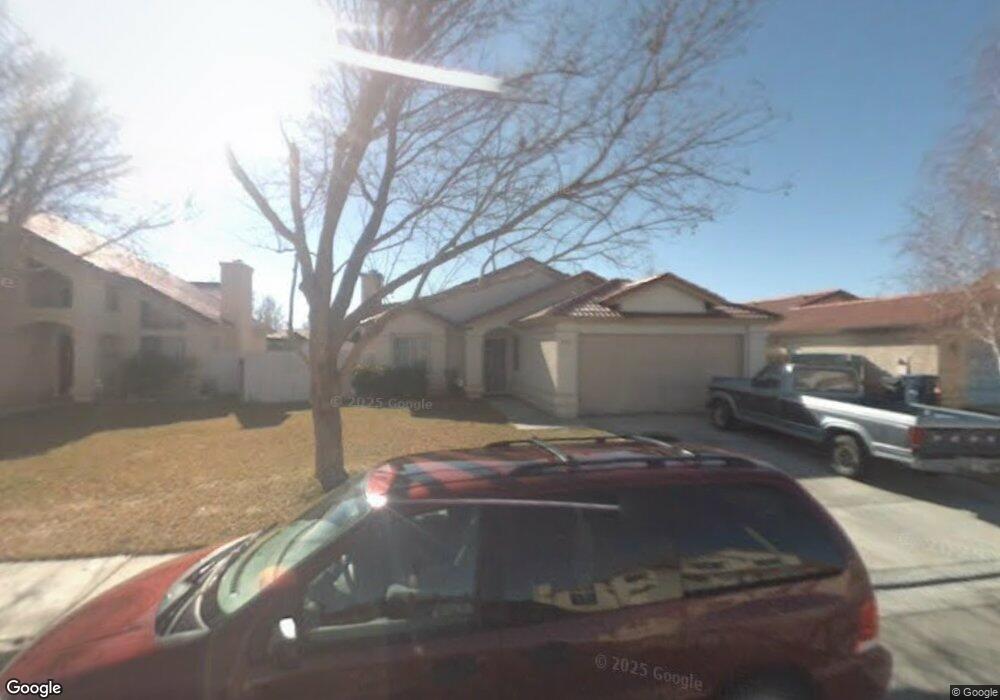
1750 Michael Dr Lancaster, CA 93535
East Lancaster NeighborhoodEstimated Value: $393,585 - $438,000
About This Home
This home is located at 1750 Michael Dr, Lancaster, CA 93535 and is currently estimated at $414,896, approximately $299 per square foot. 1750 Michael Dr is a home located in Los Angeles County with nearby schools including Lincoln Elementary School, New Vista Middle School, and Eastside High School.
Ownership History
We collect this data history from publicly available records. To have your information removed, we recommend requesting removal directly through your county’s website.
Purchase Details
Home Financials for this Owner
Home Financials are based on the most recent Mortgage that was taken out on this home.Purchase Details
Purchase Details
Home Values in the Area
Average Home Value in this Area
Purchase History
We collect this data history from publicly available records. To have your information removed, we recommend requesting removal directly through your county’s website.
| Date | Buyer | Sale Price | Title Company |
|---|---|---|---|
| $83,000 | California Counties Title Co | ||
| -- | First Southwestern Title | ||
| $130,992 | First Southwestern Title |
Mortgage History
We collect this data history from publicly available records. To have your information removed, we recommend requesting removal directly through your county’s website.
| Date | Status | Borrower | Loan Amount |
|---|---|---|---|
| Closed | $82,321 |
Tax History
We collect this data history from publicly available records. To have your information removed, we recommend requesting removal directly through your county’s website.
| Year | Tax Paid | Tax Assessment Tax Assessment Total Assessment is a certain percentage of the fair market value that is determined by local assessors to be the total taxable value of land and additions on the property. | Land | Improvement |
|---|---|---|---|---|
| 2025 | $3,136 | $142,403 | $33,576 | $108,827 |
| 2024 | $2,974 | $139,612 | $32,918 | $106,694 |
| 2023 | $2,913 | $136,875 | $32,273 | $104,602 |
| 2022 | $2,729 | $134,192 | $31,641 | $102,551 |
| 2021 | $2,348 | $131,562 | $31,021 | $100,541 |
| 2019 | $2,285 | $127,661 | $30,101 | $97,560 |
| 2018 | $2,143 | $125,159 | $29,511 | $95,648 |
| 2016 | $2,035 | $120,301 | $28,366 | $91,935 |
| 2015 | $2,012 | $118,495 | $27,940 | $90,555 |
| 2014 | $2,011 | $116,175 | $27,393 | $88,782 |
Map
- 1768 Mesa Dr
- 1768 E Mesa Dr
- 1642 Bisbee Place
- 43850 20th St E Unit 83
- 43850 20th St E Unit 230
- 43850 20th St E Unit 265
- 43850 20th St E Unit 261
- 44053 Canyon Way
- 44115 Greentree Ct
- 43759 Dana Dr
- 43709 Castle Cir
- 43922 Fallon Dr
- 43964 Fallon Dr
- 1853 Horizon Ln
- 43901 Fallon Dr
- 43711 16th St E
- 1518 E Avenue j12
- 1518 E Avenue J-12
- 44103 Sundance Ct
- 44131 Sunmist Ct
- 1804 E Avenue j10
- 1810 E Avenue j10
- 43844 Nicole St
- 1760 E Avenue j10
- 43838 Nicole St
- 1820 E Avenue j10
- 43857 David St
- 1761 Michael Dr
- 1801 E Avenue j10
- 43849 David St
- 43904 Sandstarr Ct
- 1817 E Avenue j10
- 43832 Nicole St
- 1752 E Avenue j10
- 1753 Michael Dr
- 43843 David St
- 43910 Sandstarr Ct
- 43826 Nicole St
- 1746 E Avenue j10
- 1827 E Avenue J 10 Unit 2
Ask me questions while you tour the home.