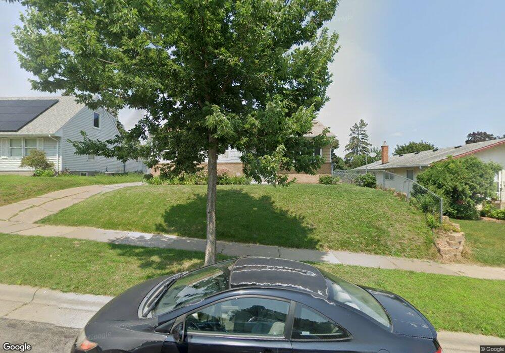
1751 Euclid St Saint Paul, MN 55106
Battle Creek NeighborhoodEstimated Value: $270,000 - $302,000
5
Beds
2
Baths
250
Sq Ft
$1,114/Sq Ft
Est. Value
About This Home
This home is located at 1751 Euclid St, Saint Paul, MN 55106 and is currently estimated at $278,444, approximately $1,113 per square foot. 1751 Euclid St is a home located in Ramsey County with nearby schools including Battle Creek Elementary School, Battle Creek Middle School, and Harding Senior High School.
Ownership History
Date
Name
Owned For
Owner Type
Purchase Details
Closed on
Nov 17, 2010
Sold by
Bluestone Investments Llc
Bought by
Vang Brian C
Current Estimated Value
Purchase Details
Closed on
Mar 11, 2010
Sold by
Federal National Mortgage Association
Bought by
Bluestone Investments Llc
Purchase Details
Closed on
Jun 30, 2006
Sold by
Abodunde Abosede and Abodunde Taiwo
Bought by
Cooper Eva
Purchase Details
Closed on
Mar 6, 1996
Sold by
Halverson Dennis
Bought by
Abodunde Taiwo and Abodunde Abosede
Create a Home Valuation Report for This Property
The Home Valuation Report is an in-depth analysis detailing your home's value as well as a comparison with similar homes in the area
Home Values in the Area
Average Home Value in this Area
Purchase History
| Date | Buyer | Sale Price | Title Company |
|---|---|---|---|
| Vang Brian C | $118,400 | -- | |
| Bluestone Investments Llc | $77,750 | -- | |
| Cooper Eva | $186,900 | -- | |
| Abodunde Taiwo | $71,500 | -- |
Source: Public Records
Tax History Compared to Growth
Tax History
| Year | Tax Paid | Tax Assessment Tax Assessment Total Assessment is a certain percentage of the fair market value that is determined by local assessors to be the total taxable value of land and additions on the property. | Land | Improvement |
|---|---|---|---|---|
| 2025 | $3,804 | $264,300 | $50,000 | $214,300 |
| 2023 | $3,804 | $254,500 | $31,100 | $223,400 |
| 2022 | $3,412 | $258,500 | $31,100 | $227,400 |
| 2021 | $2,900 | $223,200 | $31,100 | $192,100 |
| 2020 | $2,706 | $199,500 | $31,100 | $168,400 |
| 2019 | $2,650 | $176,800 | $31,100 | $145,700 |
| 2018 | $2,388 | $171,200 | $31,100 | $140,100 |
| 2017 | $2,276 | $161,200 | $31,100 | $130,100 |
| 2016 | $1,946 | $0 | $0 | $0 |
| 2015 | $2,266 | $136,400 | $31,100 | $105,300 |
| 2014 | $2,022 | $0 | $0 | $0 |
Source: Public Records
Map
Nearby Homes
- 1821 Wilson Ave
- 1685 Fremont Ave
- 1600 Old Hudson Rd
- 1935 Fremont Ave E
- 1751 Margaret St
- 1538 Wilson Ave
- 1964 4th St E
- 465 Ruth St N
- 1683 Minnehaha Ave E
- 1675 Minnehaha Ave E
- 267 Hazelwood St
- 1551 Margaret St
- 1590 Minnehaha Ave E
- 1450 Fremont Ave
- 237 Sigurd St
- 1764 Bush Ave
- 1489 6th St E
- 1443 Pacific St
- 1803 Bush Ave E
- 1935 Warbler Ln
- 1751 Euclid St
- 1757 Euclid St
- 1745 Euclid St
- 1739 Euclid St
- 1748 Conway St
- 1742 Conway St
- 1754 Conway St
- 1733 Euclid St
- 1736 Conway St
- 461 White Bear Ave N
- 453 White Bear Ave N
- 465 White Bear Ave N
- 1750 Euclid St
- 1750 1750 Euclid-Street-
- 1756 Euclid St
- 1746 Euclid St
- 471 White Bear Ave N
- 1729 Euclid St
- 1740 Euclid St
- 447 White Bear Ave N