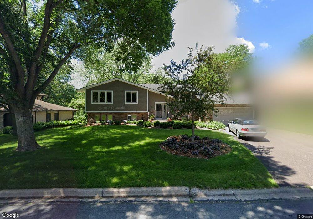
1751 Trail Rd Saint Paul, MN 55118
Estimated Value: $505,000 - $772,000
4
Beds
3
Baths
1,494
Sq Ft
$440/Sq Ft
Est. Value
About This Home
This home is located at 1751 Trail Rd, Saint Paul, MN 55118 and is currently estimated at $656,952, approximately $439 per square foot. 1751 Trail Rd is a home located in Dakota County with nearby schools including Somerset Elementary School, Heritage E-STEM Magnet School, and Two Rivers High School.
Ownership History
Date
Name
Owned For
Owner Type
Purchase Details
Closed on
May 10, 2021
Sold by
Perkins Kathleen K and Kueppers Kathleen M
Bought by
Leahy Julie and Leahy Patrick F
Current Estimated Value
Home Financials for this Owner
Home Financials are based on the most recent Mortgage that was taken out on this home.
Original Mortgage
$270,000
Outstanding Balance
$243,918
Interest Rate
2.9%
Mortgage Type
New Conventional
Estimated Equity
$413,034
Create a Home Valuation Report for This Property
The Home Valuation Report is an in-depth analysis detailing your home's value as well as a comparison with similar homes in the area
Home Values in the Area
Average Home Value in this Area
Purchase History
| Date | Buyer | Sale Price | Title Company |
|---|---|---|---|
| Leahy Julie | $525,000 | Legacy Title | |
| Leahy Patrick Patrick | $525,000 | -- |
Source: Public Records
Mortgage History
| Date | Status | Borrower | Loan Amount |
|---|---|---|---|
| Open | Leahy Julie | $270,000 | |
| Closed | Leahy Patrick Patrick | $472,500 |
Source: Public Records
Tax History Compared to Growth
Tax History
| Year | Tax Paid | Tax Assessment Tax Assessment Total Assessment is a certain percentage of the fair market value that is determined by local assessors to be the total taxable value of land and additions on the property. | Land | Improvement |
|---|---|---|---|---|
| 2024 | $5,734 | $627,500 | $203,600 | $423,900 |
| 2023 | $5,734 | $596,900 | $199,000 | $397,900 |
| 2022 | $4,768 | $563,300 | $198,600 | $364,700 |
| 2021 | $4,746 | $477,000 | $172,700 | $304,300 |
| 2020 | $4,768 | $468,300 | $164,400 | $303,900 |
| 2019 | $4,681 | $453,300 | $156,600 | $296,700 |
| 2018 | $4,440 | $422,600 | $146,300 | $276,300 |
| 2017 | $4,334 | $405,700 | $139,400 | $266,300 |
| 2016 | $4,273 | $383,400 | $132,700 | $250,700 |
| 2015 | $4,286 | $377,832 | $131,666 | $246,166 |
| 2014 | -- | $364,425 | $123,815 | $240,610 |
| 2013 | -- | $326,057 | $118,860 | $207,197 |
Source: Public Records
Map
Nearby Homes
- 1774 Dodd Rd
- 884 Marie Ave W
- 792 Hilltop Rd
- XXX Barbara Ct
- 679 Marie Ave W
- 1626 Diane Rd
- 685 Hidden Creek Trail
- 1941 Dodd Rd
- 1860 Eagle Ridge Dr Unit W303
- 1759 Lilac Ln
- 912 Crown Ct
- 614 Hidden Creek Trail
- 1912 South Ln
- 600 Wentworth Ave
- 1320 Riverside Ln Unit 303
- 1320 Riverside Ln Unit 112
- 1328 Riverside Ln
- 1925 Walsh Ln
- 795 Creek Ave
- 1840 Twin Circle Dr