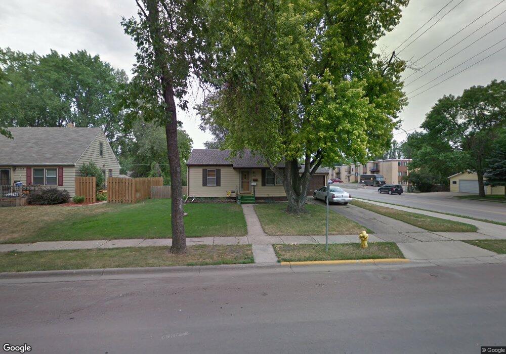
1753 S 2nd St Aberdeen, SD 57401
Estimated Value: $129,831 - $246,000
3
Beds
2
Baths
1,536
Sq Ft
$124/Sq Ft
Est. Value
About This Home
This home is located at 1753 S 2nd St, Aberdeen, SD 57401 and is currently estimated at $189,958, approximately $123 per square foot. 1753 S 2nd St is a home with nearby schools including Simmons Elementary School, Simmons Middle School, and Central High School.
Ownership History
Date
Name
Owned For
Owner Type
Purchase Details
Closed on
May 17, 2010
Sold by
Dabney Jonathan R and Dabney Erin M
Bought by
Ritter Joe L and Ritter Glennda L
Current Estimated Value
Home Financials for this Owner
Home Financials are based on the most recent Mortgage that was taken out on this home.
Original Mortgage
$107,004
Outstanding Balance
$70,380
Interest Rate
4.75%
Mortgage Type
FHA
Estimated Equity
$119,578
Create a Home Valuation Report for This Property
The Home Valuation Report is an in-depth analysis detailing your home's value as well as a comparison with similar homes in the area
Home Values in the Area
Average Home Value in this Area
Purchase History
| Date | Buyer | Sale Price | Title Company |
|---|---|---|---|
| Ritter Joe L | $109,000 | None Available |
Source: Public Records
Mortgage History
| Date | Status | Borrower | Loan Amount |
|---|---|---|---|
| Open | Ritter Joe L | $107,004 |
Source: Public Records
Tax History
| Year | Tax Paid | Tax Assessment Tax Assessment Total Assessment is a certain percentage of the fair market value that is determined by local assessors to be the total taxable value of land and additions on the property. | Land | Improvement |
|---|---|---|---|---|
| 2025 | $2,356 | $151,223 | $24,206 | $127,017 |
| 2024 | $2,297 | $138,846 | $24,206 | $114,640 |
| 2023 | $2,203 | $138,846 | $24,206 | $114,640 |
| 2022 | $2,210 | $126,108 | $24,206 | $101,902 |
| 2021 | $1,855 | $123,379 | $24,206 | $99,173 |
| 2020 | $1,780 | $102,273 | $24,206 | $78,067 |
| 2019 | $1,804 | $99,355 | $24,206 | $75,149 |
| 2018 | $1,692 | $99,355 | $24,206 | $75,149 |
| 2017 | -- | $97,166 | $24,206 | $72,960 |
| 2016 | -- | $95,018 | $0 | $95,018 |
| 2015 | -- | $95,018 | $0 | $95,018 |
| 2014 | -- | $95,555 | $0 | $95,555 |
| 2011 | -- | $87,363 | $0 | $0 |
Source: Public Records
Map
Nearby Homes
- 1749 S 2nd St
- 1760 S 2nd St
- 1745 S 2nd St
- 1902 Eisenhower Cir
- 1756 S 2nd St
- 1741 S 2nd St
- 1752 S 2nd St
- 1760 S 1st St
- 1748 S 1st St
- 1748 S 2nd St
- 1901 Eisenhower Cir
- 1744 S 1st St
- 1898 Eisenhower Cir
- 1744 S 2nd St
- 1733 S 2nd St
- 116 Church Dr
- 1740 S 2nd St
- 1757 S 3rd St
- 1899 Eisenhower Cir
- 1753 S 3rd St
Your Personal Tour Guide
Ask me questions while you tour the home.