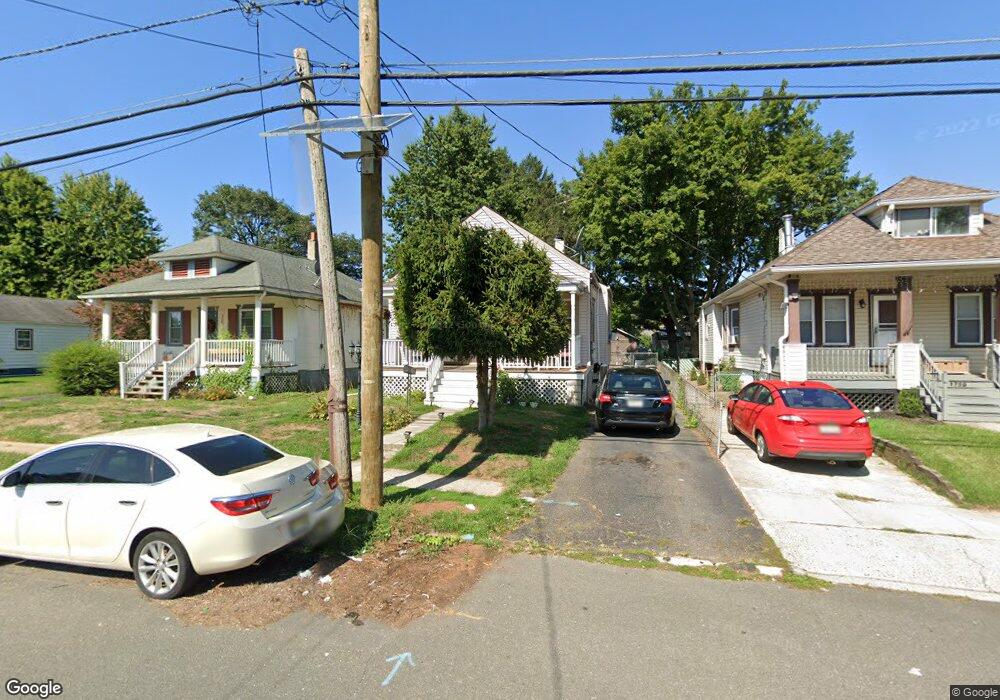
1755 6th St Ewing, NJ 08638
Prospect NeighborhoodEstimated Value: $266,000 - $331,000
Studio
--
Bath
1,238
Sq Ft
$244/Sq Ft
Est. Value
About This Home
This home is located at 1755 6th St, Ewing, NJ 08638 and is currently estimated at $302,132, approximately $244 per square foot. 1755 6th St is a home located in Mercer County with nearby schools including Ewing High School, Paul Robeson Charter School For The Humanities, and Trenton Stem-To-Civics Charter School.
Ownership History
Date
Name
Owned For
Owner Type
Purchase Details
Closed on
Jun 26, 2007
Sold by
Santiago Diane K
Bought by
Cardona Edgar A
Current Estimated Value
Home Financials for this Owner
Home Financials are based on the most recent Mortgage that was taken out on this home.
Interest Rate
6.69%
Purchase Details
Closed on
Jul 3, 2003
Sold by
Swal Daniel
Bought by
Santiago Diane
Home Financials for this Owner
Home Financials are based on the most recent Mortgage that was taken out on this home.
Original Mortgage
$108,900
Interest Rate
5.27%
Purchase Details
Closed on
Jun 20, 1994
Sold by
Parkinson Arthur
Bought by
Swai Daniel
Home Financials for this Owner
Home Financials are based on the most recent Mortgage that was taken out on this home.
Original Mortgage
$72,000
Interest Rate
8.74%
Create a Home Valuation Report for This Property
The Home Valuation Report is an in-depth analysis detailing your home's value as well as a comparison with similar homes in the area
Home Values in the Area
Average Home Value in this Area
Purchase History
| Date | Buyer | Sale Price | Title Company |
|---|---|---|---|
| Cardona Edgar A | -- | -- | |
| Santiago Diane | $121,000 | -- | |
| Swai Daniel | $80,340 | -- |
Source: Public Records
Mortgage History
| Date | Status | Borrower | Loan Amount |
|---|---|---|---|
| Closed | Cardona Edgar A | -- | |
| Previous Owner | Santiago Diane | $108,900 | |
| Previous Owner | Swai Daniel | $72,000 |
Source: Public Records
Tax History
| Year | Tax Paid | Tax Assessment Tax Assessment Total Assessment is a certain percentage of the fair market value that is determined by local assessors to be the total taxable value of land and additions on the property. | Land | Improvement |
|---|---|---|---|---|
| 2025 | $5,852 | $148,800 | $44,200 | $104,600 |
| 2024 | $5,501 | $148,800 | $44,200 | $104,600 |
| 2023 | $5,501 | $148,800 | $44,200 | $104,600 |
| 2022 | $5,352 | $148,800 | $44,200 | $104,600 |
| 2021 | $5,221 | $148,800 | $44,200 | $104,600 |
| 2020 | $5,147 | $148,800 | $44,200 | $104,600 |
| 2019 | $5,013 | $148,800 | $44,200 | $104,600 |
| 2018 | $5,536 | $104,800 | $27,200 | $77,600 |
| 2017 | $5,664 | $104,800 | $27,200 | $77,600 |
| 2016 | $5,588 | $104,800 | $27,200 | $77,600 |
| 2015 | $5,514 | $104,800 | $27,200 | $77,600 |
| 2014 | $5,499 | $104,800 | $27,200 | $77,600 |
Source: Public Records
Map
Nearby Homes
- 2220 Spruce St
- 1625 6th St
- 1625 5th St
- 21 Buttonwood Dr
- 2 Shelburne Dr
- 32 Stoneham Rd
- 1 Kent Ct
- 2 & 4 J Russel Smith Rd
- 12 J Russel Smith Rd
- 56 Sherbrooke Rd
- 40 J Russel Smith Rd
- 33 Sherbrooke Rd
- 7 Mabel St
- 341 Stokes Ave
- 41 Poland St
- 91 Groveland Ave
- 16 Bittersweet Rd
- 309 Meadow Woods Ln
- 24 Keswick Ave
- 35 Rosedale Ave
Your Personal Tour Guide
Ask me questions while you tour the home.