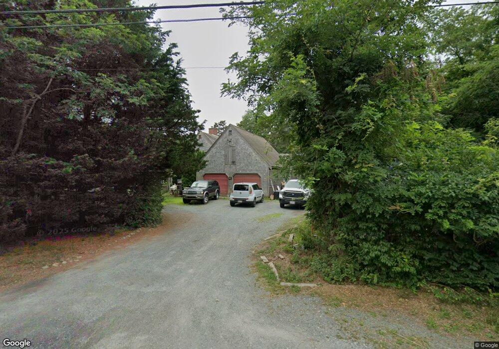
1755 Nauset Rd Eastham, MA 02642
Estimated Value: $822,000 - $946,000
3
Beds
2
Baths
1,888
Sq Ft
$462/Sq Ft
Est. Value
About This Home
This home is located at 1755 Nauset Rd, Eastham, MA 02642 and is currently estimated at $872,969, approximately $462 per square foot. 1755 Nauset Rd is a home located in Barnstable County with nearby schools including Eastham Elementary School, Nauset Regional Middle School, and Nauset Regional High School.
Ownership History
Date
Name
Owned For
Owner Type
Purchase Details
Closed on
Jul 31, 1987
Sold by
Nickerson Iii N A
Bought by
Shakliks John J
Current Estimated Value
Home Financials for this Owner
Home Financials are based on the most recent Mortgage that was taken out on this home.
Original Mortgage
$73,000
Interest Rate
10.43%
Mortgage Type
Purchase Money Mortgage
Create a Home Valuation Report for This Property
The Home Valuation Report is an in-depth analysis detailing your home's value as well as a comparison with similar homes in the area
Home Values in the Area
Average Home Value in this Area
Purchase History
| Date | Buyer | Sale Price | Title Company |
|---|---|---|---|
| Shakliks John J | $173,000 | -- |
Source: Public Records
Mortgage History
| Date | Status | Borrower | Loan Amount |
|---|---|---|---|
| Closed | Shakliks John J | $80,000 | |
| Closed | Shakliks John J | $55,000 | |
| Closed | Shakliks John J | $20,000 | |
| Closed | Shakliks John J | $73,000 |
Source: Public Records
Tax History Compared to Growth
Tax History
| Year | Tax Paid | Tax Assessment Tax Assessment Total Assessment is a certain percentage of the fair market value that is determined by local assessors to be the total taxable value of land and additions on the property. | Land | Improvement |
|---|---|---|---|---|
| 2025 | $6,207 | $805,100 | $263,500 | $541,600 |
| 2024 | $5,306 | $756,900 | $255,800 | $501,100 |
| 2023 | $4,873 | $673,000 | $236,800 | $436,200 |
| 2022 | $4,348 | $506,800 | $190,300 | $316,500 |
| 2021 | $4,227 | $460,500 | $173,000 | $287,500 |
| 2020 | $3,886 | $445,600 | $176,600 | $269,000 |
| 2019 | $3,596 | $435,900 | $171,400 | $264,500 |
| 2018 | $3,535 | $423,300 | $166,400 | $256,900 |
| 2017 | $3,279 | $415,000 | $163,200 | $251,800 |
| 2016 | $3,213 | $431,800 | $181,300 | $250,500 |
| 2015 | $2,989 | $421,000 | $177,700 | $243,300 |
Source: Public Records
Map
Nearby Homes
- 1895 Nauset Rd
- 100 Thoreau Dr
- 115 Sparrowhawk Ln
- 65 Cestaro Way
- 72 Dory Ln
- 70 Deerfield Ln
- 10 Surrey Dr
- 135 Nauset Light Beach Rd
- 10 Alston Ct
- 45 Starlight Ln
- 35 Old County Rd Unit 1
- 245 Nauset Light Beach Rd
- 255 Massasoit Rd
- 20 Redberry Ln
- 157 Brownell Rd
- 153 Brownell Rd
- 60 Briggs Field Rd
- 95 Toland Dr
- 160 Toland Dr
- 5470 State Hwy