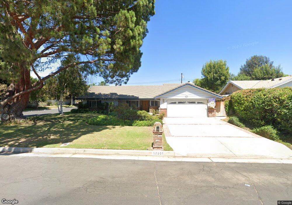
17551 Superior St Northridge, CA 91325
Estimated Value: $1,405,000 - $1,754,000
4
Beds
4
Baths
3,435
Sq Ft
$455/Sq Ft
Est. Value
About This Home
This home is located at 17551 Superior St, Northridge, CA 91325 and is currently estimated at $1,563,107, approximately $455 per square foot. 17551 Superior St is a home located in Los Angeles County with nearby schools including Andasol Avenue Elementary School, Oliver Wendell Holmes Middle School, and Northridge Academy High.
Ownership History
Date
Name
Owned For
Owner Type
Purchase Details
Closed on
Nov 30, 2021
Sold by
Dunbar Dorian R and Dunbar Diane L
Bought by
Dunbar Family Trust
Current Estimated Value
Purchase Details
Closed on
Aug 19, 2003
Sold by
Cantor Jon D and Cantor Arlene H
Bought by
Dunbar Dorian R and Dunbar Diane L
Home Financials for this Owner
Home Financials are based on the most recent Mortgage that was taken out on this home.
Original Mortgage
$322,700
Interest Rate
5.46%
Mortgage Type
Purchase Money Mortgage
Create a Home Valuation Report for This Property
The Home Valuation Report is an in-depth analysis detailing your home's value as well as a comparison with similar homes in the area
Home Values in the Area
Average Home Value in this Area
Purchase History
| Date | Buyer | Sale Price | Title Company |
|---|---|---|---|
| Dunbar Family Trust | -- | None Listed On Document | |
| Dunbar Dorian R | $705,000 | California Title |
Source: Public Records
Mortgage History
| Date | Status | Borrower | Loan Amount |
|---|---|---|---|
| Previous Owner | Dunbar Dorian R | $322,700 |
Source: Public Records
Tax History Compared to Growth
Tax History
| Year | Tax Paid | Tax Assessment Tax Assessment Total Assessment is a certain percentage of the fair market value that is determined by local assessors to be the total taxable value of land and additions on the property. | Land | Improvement |
|---|---|---|---|---|
| 2025 | $11,524 | $924,149 | $426,531 | $497,618 |
| 2024 | $11,524 | $906,029 | $418,168 | $487,861 |
| 2023 | $11,308 | $888,265 | $409,969 | $478,296 |
| 2022 | $10,796 | $870,849 | $401,931 | $468,918 |
| 2021 | $10,654 | $853,774 | $394,050 | $459,724 |
| 2019 | $10,344 | $828,453 | $382,363 | $446,090 |
| 2018 | $10,181 | $812,210 | $374,866 | $437,344 |
| 2016 | $9,716 | $780,672 | $360,310 | $420,362 |
| 2015 | $9,577 | $768,946 | $354,898 | $414,048 |
| 2014 | $9,613 | $753,885 | $347,947 | $405,938 |
Source: Public Records
Map
Nearby Homes
- 9560 Shoshone Ave
- 17735 Kinzie St Unit 112
- 9453 Shoshone Ave
- 9455 Brandon Ct
- 17727 Merridy St Unit 18
- 17177 Superior St
- 17162 Superior St
- 17654 Prairie St
- 17158 Citronia St
- 17531 Romar St
- 9930 Aldea Ave
- 17654 Knapp St
- 9218 Encino Ave
- 17171 Septo St
- 17149 Gledhill St
- 17813 Lemarsh St
- 10224 Zelzah Ave Unit 4
- 17559 Devonshire St
- 18131 Andrea Cir N Unit 4
- 18170 Andrea Cir N Unit 1
- 17541 Superior St
- 17548 Marilla St
- 17601 Superior St
- 17538 Marilla St
- 17531 Superior St
- 9717 Shoshone Ave
- 17550 Superior St
- 17609 Superior St
- 17540 Superior St
- 17600 Superior St
- 17528 Marilla St
- 9731 Texhoma Ave
- 17532 Superior St
- 17521 Superior St
- 17612 Superior St
- 9730 Shoshone Ave
- 17610 Marilla St
- 17621 Superior St
- 17614 Superior St
- 9639 Shoshone Ave