17588 Farmers Dell Way Lathrop, CA 95330
Estimated Value: $728,000 - $790,673
4
Beds
3
Baths
2,706
Sq Ft
$281/Sq Ft
Est. Value
About This Home
This home is located at 17588 Farmers Dell Way, Lathrop, CA 95330 and is currently estimated at $760,418, approximately $281 per square foot. 17588 Farmers Dell Way is a home with nearby schools including Mossdale Elementary School, Lathrop High School, and River Island School of Technology.
Ownership History
Date
Name
Owned For
Owner Type
Purchase Details
Closed on
Sep 10, 2018
Sold by
Rodriguez Samiel B and Rodriguez Nanci J
Bought by
Rodriguez Family Trust
Current Estimated Value
Purchase Details
Closed on
Feb 24, 2016
Sold by
Woodside 05N Lp
Bought by
Rodriguez Samuel B and Rodriguez Nanci J
Home Financials for this Owner
Home Financials are based on the most recent Mortgage that was taken out on this home.
Original Mortgage
$387,483
Outstanding Balance
$305,851
Interest Rate
3.65%
Mortgage Type
New Conventional
Estimated Equity
$454,567
Create a Home Valuation Report for This Property
The Home Valuation Report is an in-depth analysis detailing your home's value as well as a comparison with similar homes in the area
Home Values in the Area
Average Home Value in this Area
Purchase History
| Date | Buyer | Sale Price | Title Company |
|---|---|---|---|
| Rodriguez Family Trust | -- | None Available | |
| Rodriguez Samuel B | $484,500 | Placer Title Company |
Source: Public Records
Mortgage History
| Date | Status | Borrower | Loan Amount |
|---|---|---|---|
| Open | Rodriguez Samuel B | $387,483 |
Source: Public Records
Tax History Compared to Growth
Tax History
| Year | Tax Paid | Tax Assessment Tax Assessment Total Assessment is a certain percentage of the fair market value that is determined by local assessors to be the total taxable value of land and additions on the property. | Land | Improvement |
|---|---|---|---|---|
| 2025 | $9,600 | $602,383 | $200,649 | $401,734 |
| 2024 | $9,362 | $590,572 | $196,715 | $393,857 |
| 2023 | $9,131 | $578,993 | $192,858 | $386,135 |
| 2022 | $9,132 | $567,641 | $189,077 | $378,564 |
| 2021 | $8,973 | $556,512 | $185,370 | $371,142 |
| 2020 | $8,702 | $550,807 | $183,470 | $367,337 |
| 2019 | $8,587 | $540,008 | $179,873 | $360,135 |
| 2018 | $8,467 | $529,421 | $176,347 | $353,074 |
| 2017 | $8,066 | $494,041 | $172,890 | $321,151 |
| 2016 | $3,493 | $82,279 | $82,279 | $0 |
| 2015 | $3,050 | $81,719 | $81,719 | $0 |
Source: Public Records
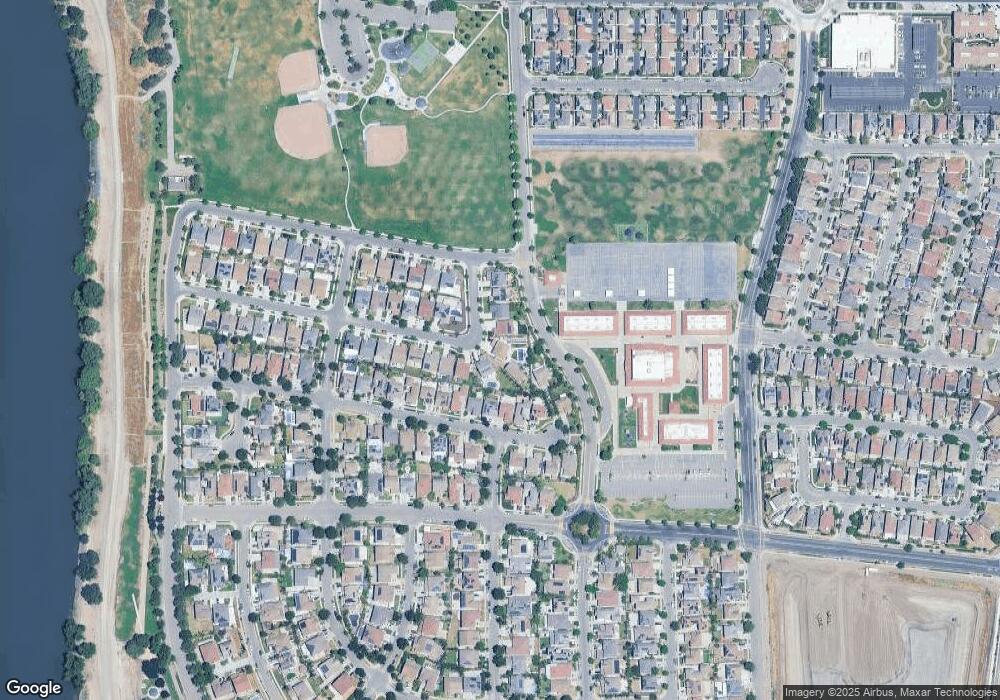
Map
Nearby Homes
- 582 Pasture Ave
- 577 Brookhurst Blvd
- 17753 Wheat Field St
- 17709 Mckee Blvd
- 17211 S Fox Hatch Ln
- 17806 Mckee Blvd
- 17975 Rusty Plow Ln
- 17350 Mill Stone Way
- 17351 Pheasant Downs Rd
- 17898 Mckee Blvd
- 17879 Farm House Rd
- 17840 Farm House Rd
- Macon II Plan at Mariposa
- Aegean Plan at Mariposa
- 17942 Mckee Blvd
- 17862 Farm House Rd
- 323 Autumn Rain Dr
- 274 Apple Grove Ave
- 250 Apple Grove Ave
- 17360 Ferndale St
- 576 Pasture Ave
- 17566 Farmer's Dell Way
- 535 Bramblewood Ave
- 17544 Farmers Dell Way
- 563 Bramblewood Ave
- 17544 Farmer's Dell Way
- 571 Bramblewood Ave
- 551 Bramblewood Ave
- 585 Bramblewood Ave
- 539 Bramblewood Ave
- 541 Bramblewood Ave
- 17522 Farmers Dell Way
- 600 Pasture Ave
- 601 Bramblewood Ave
- 17522 Farmer's Dell Way
- 529 Bramblewood Ave
- 575 Bramblewood Ave
- 601 Pasture Ave
- 617 Bramblewood Ave
- 612 Pasture Ave