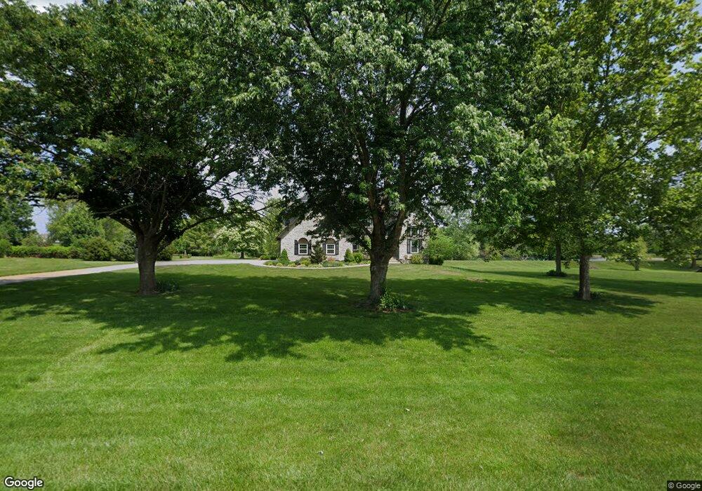
17589 S Bond St Olathe, KS 66062
South Overland Park NeighborhoodEstimated Value: $704,000 - $1,044,000
4
Beds
4
Baths
3,647
Sq Ft
$243/Sq Ft
Est. Value
About This Home
This home is located at 17589 S Bond St, Olathe, KS 66062 and is currently estimated at $884,922, approximately $242 per square foot. 17589 S Bond St is a home located in Johnson County with nearby schools including Wolf Springs Elementary School, Aubry Bend Middle School, and Blue Valley Southwest High School.
Ownership History
Date
Name
Owned For
Owner Type
Purchase Details
Closed on
Jun 22, 2017
Sold by
Freeman Robert D and Freeman Diane D
Bought by
Hillman Melissa D and Hillman William Christopher
Current Estimated Value
Purchase Details
Closed on
Oct 13, 2014
Sold by
Freeman Robert Drew and Freeman Diane Denise
Bought by
Freeman Revocable Trust and Freeman Diane D
Create a Home Valuation Report for This Property
The Home Valuation Report is an in-depth analysis detailing your home's value as well as a comparison with similar homes in the area
Home Values in the Area
Average Home Value in this Area
Purchase History
| Date | Buyer | Sale Price | Title Company |
|---|---|---|---|
| Hillman Melissa D | -- | Continental Title | |
| Freeman Revocable Trust | -- | None Available |
Source: Public Records
Tax History Compared to Growth
Tax History
| Year | Tax Paid | Tax Assessment Tax Assessment Total Assessment is a certain percentage of the fair market value that is determined by local assessors to be the total taxable value of land and additions on the property. | Land | Improvement |
|---|---|---|---|---|
| 2024 | $8,958 | $86,733 | $22,714 | $64,019 |
| 2023 | $9,469 | $90,540 | $22,714 | $67,826 |
| 2022 | $9,491 | $89,090 | $23,362 | $65,728 |
| 2021 | $7,402 | $66,217 | $18,686 | $47,531 |
| 2020 | $7,607 | $67,574 | $18,686 | $48,888 |
| 2019 | $7,532 | $65,343 | $15,515 | $49,828 |
| 2018 | $7,525 | $63,492 | $13,468 | $50,024 |
| 2017 | $6,977 | $57,558 | $13,468 | $44,090 |
| 2016 | $6,793 | $55,959 | $13,468 | $42,491 |
| 2015 | $6,482 | $53,268 | $13,468 | $39,800 |
| 2013 | -- | $49,346 | $9,484 | $39,862 |
Source: Public Records
Map
Nearby Homes
- 17312 Oakshire St
- 11209 W 173rd St
- 17409 Nieman Rd
- 11101 W 173rd St
- 11100 W 173rd St
- 17321 Bluejacket St
- 17212 Nieman Rd
- 18109 S Cody St
- 18021 S Cody St
- 18025 S Cody St
- Brentwood Plan at Terrybrook Farms - The Estates
- Courtland Reverse Plan at Terrybrook Farms - Stone Creek
- Brookridge III Plan at Terrybrook Farms - Stone Creek
- Laurel Exp Plan at Terrybrook Farms - Stone Creek
- Madison II Plan at Terrybrook Farms - Stone Creek
- New Haven Plan at Terrybrook Farms - Stone Creek
- Madison III Plan at Terrybrook Farms - Stone Creek
- Coronado Plan at Terrybrook Farms - Stone Creek
- The Hudson Plan at Terrybrook Farms
- Auburn Plan at Terrybrook Farms - Stone Creek
- 17600 S Bond St
- 17643 Bond Ave
- 17570 S Bond St
- 17600 Bond Ave
- 17589 Bond Ave
- 17643 S Bond St
- 17519 S Bond St
- 17518 S Bond St
- 11287 W 176th Terrace
- 11195 W 176th Terrace
- 11400 W 176th Terrace
- 11170 W 176th Terrace
- 11275 W 175th St
- 11387 W 176th Terrace
- 11125 W 175th St
- 11197 W 175th St
- 11287 W 176th Terrace
- 11300 W 175th St
- 11197 W 175th St
- 11455 W 176th Terrace