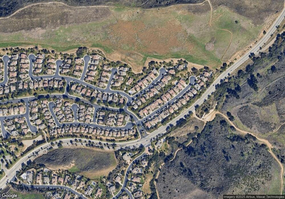
176 Forrester Ct Simi Valley, CA 93065
Wood Ranch NeighborhoodEstimated Value: $1,067,481 - $1,255,000
5
Beds
4
Baths
2,750
Sq Ft
$428/Sq Ft
Est. Value
About This Home
This home is located at 176 Forrester Ct, Simi Valley, CA 93065 and is currently estimated at $1,176,620, approximately $427 per square foot. 176 Forrester Ct is a home located in Ventura County with nearby schools including Wood Ranch Elementary School, Sinaloa Middle School, and Royal High School.
Ownership History
Date
Name
Owned For
Owner Type
Purchase Details
Closed on
Aug 1, 2003
Sold by
Va
Bought by
Ogrady Kenneth R and Ogrady Toni
Current Estimated Value
Home Financials for this Owner
Home Financials are based on the most recent Mortgage that was taken out on this home.
Original Mortgage
$238,000
Interest Rate
5.2%
Mortgage Type
Purchase Money Mortgage
Purchase Details
Closed on
Sep 28, 2000
Sold by
Bainbury Llc
Bought by
Va
Create a Home Valuation Report for This Property
The Home Valuation Report is an in-depth analysis detailing your home's value as well as a comparison with similar homes in the area
Home Values in the Area
Average Home Value in this Area
Purchase History
| Date | Buyer | Sale Price | Title Company |
|---|---|---|---|
| Ogrady Kenneth R | -- | Southland Title Corporation | |
| Va | $439,500 | First American Title Ins Co |
Source: Public Records
Mortgage History
| Date | Status | Borrower | Loan Amount |
|---|---|---|---|
| Closed | Ogrady Kenneth R | $238,000 |
Source: Public Records
Tax History
| Year | Tax Paid | Tax Assessment Tax Assessment Total Assessment is a certain percentage of the fair market value that is determined by local assessors to be the total taxable value of land and additions on the property. | Land | Improvement |
|---|---|---|---|---|
| 2025 | $7,857 | $662,166 | $264,860 | $397,306 |
| 2024 | $7,857 | $649,183 | $259,667 | $389,516 |
| 2023 | $7,388 | $636,454 | $254,575 | $381,879 |
| 2022 | $7,372 | $623,975 | $249,583 | $374,392 |
| 2021 | $7,331 | $611,741 | $244,690 | $367,051 |
| 2020 | $7,187 | $605,471 | $242,182 | $363,289 |
| 2019 | $6,862 | $593,600 | $237,434 | $356,166 |
| 2018 | $6,812 | $581,962 | $232,779 | $349,183 |
| 2017 | $6,667 | $570,552 | $228,215 | $342,337 |
| 2016 | $6,370 | $559,366 | $223,741 | $335,625 |
| 2015 | $6,243 | $550,966 | $220,381 | $330,585 |
| 2014 | $6,163 | $540,175 | $216,065 | $324,110 |
Source: Public Records
Map
Nearby Homes
- 185 Laurel Wood Ct
- 251 Napa Ct
- 551 Running Creek Ct
- 139 Park Hill Rd
- 551 Rustic Hills Dr
- 652 Stonebrook St
- 377 Oldstone Ct
- 1278 Rambling Rd
- 68 E Twisted Oak Dr
- 410 Sinaloa Rd
- 1320 Nonchalant Dr
- 454 Longbranch Rd
- 1379 Nonchalant Dr
- 550 Unique Ln
- 922 Carefree Dr
- 952 Carefree Dr
- 683 Languid Ln
- 335 Kitetail St
- 633 Noble Rd
- 260 Goldenwood Cir
- 168 Forrester Ct
- 184 Forrester Ct
- 160 Forrester Ct
- 181 Brooks Ct
- 175 Brooks Ct
- 187 Brooks Ct
- 192 Forrester Ct
- 193 Brooks Ct
- 150 Forrester Ct
- 175 Forrester Ct
- 167 Forrester Ct
- 157 Brooks Ct
- 144 Forrester Ct
- 153 Forrester Ct
- 151 Brooks Ct
- 151 Brooks Rd
- 494 Woodland Rd
- 493 Woodland Rd
- 145 Forrester Ct
- 136 Forrester Ct
Your Personal Tour Guide
Ask me questions while you tour the home.
