176 Roddy Rd Vincent, OH 45784
Estimated Value: $186,000 - $325,000
3
Beds
2
Baths
1,566
Sq Ft
$177/Sq Ft
Est. Value
About This Home
This home is located at 176 Roddy Rd, Vincent, OH 45784 and is currently estimated at $277,151, approximately $176 per square foot. 176 Roddy Rd is a home with nearby schools including Warren High School.
Ownership History
Date
Name
Owned For
Owner Type
Purchase Details
Closed on
Jul 15, 2015
Sold by
Briggs Ann M
Bought by
Briggs James Matthew
Current Estimated Value
Home Financials for this Owner
Home Financials are based on the most recent Mortgage that was taken out on this home.
Original Mortgage
$120,000
Interest Rate
5.95%
Mortgage Type
Adjustable Rate Mortgage/ARM
Purchase Details
Closed on
May 14, 2011
Sold by
Briggs Matthew James and Briggs Ann M
Bought by
Briggs Matthew James and Briggs Ann M
Home Financials for this Owner
Home Financials are based on the most recent Mortgage that was taken out on this home.
Original Mortgage
$110,948
Interest Rate
4.88%
Mortgage Type
Construction
Create a Home Valuation Report for This Property
The Home Valuation Report is an in-depth analysis detailing your home's value as well as a comparison with similar homes in the area
Purchase History
| Date | Buyer | Sale Price | Title Company |
|---|---|---|---|
| Briggs James Matthew | -- | Attorney | |
| Briggs Matthew James | -- | Patriot Title Agency Inc |
Source: Public Records
Mortgage History
| Date | Status | Borrower | Loan Amount |
|---|---|---|---|
| Previous Owner | Briggs James Matthew | $120,000 | |
| Previous Owner | Briggs Matthew James | $110,948 |
Source: Public Records
Tax History
| Year | Tax Paid | Tax Assessment Tax Assessment Total Assessment is a certain percentage of the fair market value that is determined by local assessors to be the total taxable value of land and additions on the property. | Land | Improvement |
|---|---|---|---|---|
| 2024 | $2,859 | $63,060 | $17,420 | $45,640 |
| 2023 | $2,359 | $63,060 | $17,420 | $45,640 |
| 2022 | $2,349 | $63,060 | $17,420 | $45,640 |
| 2021 | $1,770 | $45,560 | $11,920 | $33,640 |
| 2020 | $1,769 | $45,560 | $11,920 | $33,640 |
| 2019 | $1,743 | $45,560 | $11,920 | $33,640 |
| 2018 | $1,542 | $39,140 | $9,930 | $29,210 |
| 2017 | $1,533 | $39,140 | $9,930 | $29,210 |
| 2016 | $1,934 | $39,140 | $9,930 | $29,210 |
| 2015 | $1,357 | $37,900 | $8,430 | $29,470 |
| 2014 | $1,894 | $37,900 | $8,430 | $29,470 |
| 2013 | $360 | $37,900 | $8,430 | $29,470 |
Source: Public Records
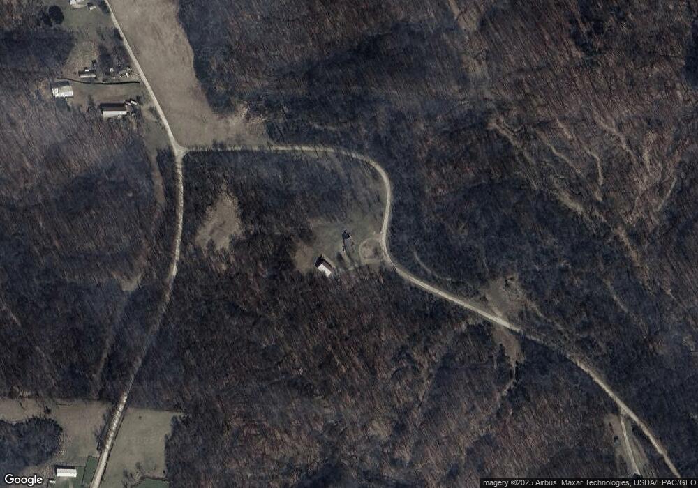
Map
Nearby Homes
- 10270 Ohio 550
- 8030 State Route 339
- 0 Layman Rd Unit 25046006
- 1015 Brackenridge Rd
- 6570 State Route 339
- 2207 Veto Rd
- 232 Mcgill Rd
- 849 Clark Rd
- 265 James Ln
- 2533 Oak Hill Rd
- 10507 Ohio 339
- 1556 Mcgill Rd
- 11231 Ohio 555
- 852 Wallace Rd
- 280 Asher Ln
- 2425 Rocky Point Rd
- Lot 2 Shinn Rd
- Lot 1 Shinn Rd
- 111 T322
- 81 James Rd
- 3539 Tick Ridge Rd
- 3184 Tick Ridge Rd
- 3635 Tick Ridge Rd
- 3155 Tick Ridge Rd
- 3661 Tick Ridge Rd
- 3980 Tick Ridge Rd
- 3810 Tick Ridge Rd
- 3681 Tick Ridge Rd
- 3874 Tick Ridge Rd
- 3005 Tick Ridge Rd
- 2881 Tick Ridge Rd
- 330 Reynolds Ln
- 4074 Tick Ridge Rd
- 4074 Tick Ridge Rd
- 2686 Tick Ridge Rd
- 2570 Tick Ridge Rd
- 4080 Tick Ridge Rd
- 494 Layman Rd
- 565 Reynolds Ln
- 2477 Tick Ridge Rd
Your Personal Tour Guide
Ask me questions while you tour the home.