176 West Rd Clarksville, NH 03592
Estimated Value: $292,000 - $475,000
2
Beds
3
Baths
2,141
Sq Ft
$179/Sq Ft
Est. Value
About This Home
This home is located at 176 West Rd, Clarksville, NH 03592 and is currently estimated at $383,345, approximately $179 per square foot. 176 West Rd is a home located in Coos County with nearby schools including St. Albert School.
Ownership History
Date
Name
Owned For
Owner Type
Purchase Details
Closed on
Jun 13, 2024
Sold by
Staplins James J and Staplins Darlene J
Bought by
Alexander Brian
Current Estimated Value
Purchase Details
Closed on
Aug 31, 2011
Sold by
Rbs Citizens Bank Na
Bought by
Staplins James J and Staplins Darlene J
Purchase Details
Closed on
Jan 15, 2010
Sold by
Keiper Carl W
Bought by
Rbs Citizens Bank Na
Create a Home Valuation Report for This Property
The Home Valuation Report is an in-depth analysis detailing your home's value as well as a comparison with similar homes in the area
Home Values in the Area
Average Home Value in this Area
Purchase History
| Date | Buyer | Sale Price | Title Company |
|---|---|---|---|
| Alexander Brian | $359,933 | None Available | |
| Staplins James J | $80,000 | -- | |
| Rbs Citizens Bank Na | $115,200 | -- |
Source: Public Records
Tax History Compared to Growth
Tax History
| Year | Tax Paid | Tax Assessment Tax Assessment Total Assessment is a certain percentage of the fair market value that is determined by local assessors to be the total taxable value of land and additions on the property. | Land | Improvement |
|---|---|---|---|---|
| 2024 | $3,799 | $175,000 | $31,100 | $143,900 |
| 2023 | $3,311 | $175,000 | $31,100 | $143,900 |
| 2022 | $3,624 | $175,000 | $31,100 | $143,900 |
| 2021 | $3,265 | $172,000 | $31,100 | $140,900 |
| 2020 | $2,767 | $170,200 | $31,100 | $139,100 |
| 2019 | $2,393 | $153,900 | $26,100 | $127,800 |
| 2018 | $2,763 | $153,900 | $26,100 | $127,800 |
| 2017 | $2,959 | $153,900 | $26,100 | $127,800 |
| 2016 | $2,610 | $153,900 | $26,100 | $127,800 |
| 2015 | $2,542 | $153,900 | $26,100 | $127,800 |
| 2014 | $2,413 | $155,200 | $33,400 | $121,800 |
| 2013 | $2,188 | $155,200 | $33,400 | $121,800 |
Source: Public Records
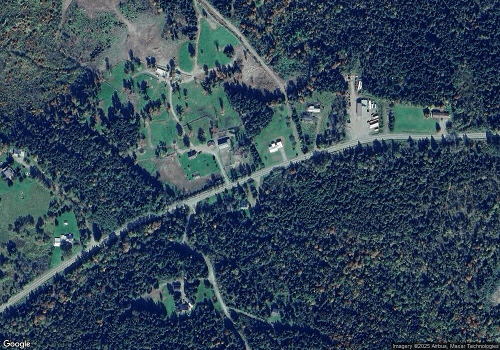
Map
Nearby Homes
- 8 Haynes Rd
- 97 Cobblestone Rd
- 12 River Rd
- - Bishop Brook Rd
- 63 Pariseau Dr
- 204 Hall Stream Rd
- 369 Hall Stream Rd
- 72 Heritage Rd
- 11 Bohan St
- 11 Downing Rd
- 75 Heritage Rd
- 621 Bishop Brook Rd
- 869 Piper Hill Rd
- TBD Hollow Rd
- TBD Ridge Rd
- B1-33-16 Sugar Shack Row
- B1-33-15 Sugar Shack Row
- Lot 1, 2, & 3 Creampoke Rd
- 13 Darwin Dr
- 220 Creampoke Rd
- 177 West Rd
- 0 Hemon Hill Rd Unit 15
- 0 Hemon Hill Rd Unit 5008717
- 0 Hemon Hill Rd Unit R2-15
- 191 West Rd
- 29 Hemon Hill Rd
- 57 Hemon Hill Rd
- 135 West Rd
- 46 High Loop Rd
- 184 High Loop Rd
- 97 West Rd
- 17 Gravel Pit Rd
- 263 West Rd
- 15 Haynes Rd
- 30 Circle Dr
- 8 Haynes Rd
- 85 West Rd
- 14 Sap Hill Rd
- 28 Haynes Rd
- 46 Moose Mountain Rd