1760 Benson Rd Cookeville, TN 38506
Estimated Value: $271,283 - $372,000
3
Beds
2
Baths
1,736
Sq Ft
$187/Sq Ft
Est. Value
About This Home
This home is located at 1760 Benson Rd, Cookeville, TN 38506 and is currently estimated at $323,821, approximately $186 per square foot. 1760 Benson Rd is a home located in Putnam County with nearby schools including Algood Middle School, Algood Elementary School, and Cookeville High School.
Ownership History
Date
Name
Owned For
Owner Type
Purchase Details
Closed on
Aug 8, 2007
Sold by
Hunter Cooper Jean
Bought by
Pocock Ronald R and Pocock Linda K
Current Estimated Value
Home Financials for this Owner
Home Financials are based on the most recent Mortgage that was taken out on this home.
Original Mortgage
$100,000
Outstanding Balance
$62,698
Interest Rate
6.65%
Estimated Equity
$261,123
Purchase Details
Closed on
May 14, 1999
Sold by
Billy Hunter
Bought by
Clarence Hunter and Clarence Jean
Purchase Details
Closed on
Sep 27, 1989
Bought by
Hunter Billy
Purchase Details
Closed on
Mar 8, 1989
Bought by
Lane Robert M
Create a Home Valuation Report for This Property
The Home Valuation Report is an in-depth analysis detailing your home's value as well as a comparison with similar homes in the area
Home Values in the Area
Average Home Value in this Area
Purchase History
| Date | Buyer | Sale Price | Title Company |
|---|---|---|---|
| Pocock Ronald R | $125,000 | -- | |
| Clarence Hunter | -- | -- | |
| Hunter Billy | $10,000 | -- | |
| Lane Robert M | $7,200 | -- |
Source: Public Records
Mortgage History
| Date | Status | Borrower | Loan Amount |
|---|---|---|---|
| Open | Lane Robert M | $100,000 |
Source: Public Records
Tax History Compared to Growth
Tax History
| Year | Tax Paid | Tax Assessment Tax Assessment Total Assessment is a certain percentage of the fair market value that is determined by local assessors to be the total taxable value of land and additions on the property. | Land | Improvement |
|---|---|---|---|---|
| 2024 | $1,055 | $39,650 | $4,000 | $35,650 |
| 2023 | $1,055 | $39,650 | $4,000 | $35,650 |
| 2022 | $980 | $39,650 | $4,000 | $35,650 |
| 2021 | $980 | $39,650 | $4,000 | $35,650 |
| 2020 | $935 | $39,650 | $4,000 | $35,650 |
| 2019 | $935 | $31,950 | $4,000 | $27,950 |
| 2018 | $872 | $31,950 | $4,000 | $27,950 |
| 2017 | $872 | $31,950 | $4,000 | $27,950 |
| 2016 | $872 | $31,950 | $4,000 | $27,950 |
| 2015 | $872 | $31,950 | $4,000 | $27,950 |
| 2014 | $909 | $32,402 | $0 | $0 |
Source: Public Records
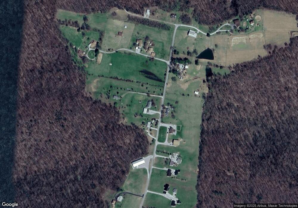
Map
Nearby Homes
- 900 Brotherton Dr
- 0 Overlook Cir
- 21.40 AC Overlook Cir
- 1080 Brotherton Dr
- 34 Brotherton Dr
- 034 Brotherton Dr
- 510 Green Springs Rd
- 4618 Plantation Ln
- 4626 Plantation Ln
- 3930 Olyvia Ct
- Lot 183 Plantation View
- Lot 183B Plantation View
- 0 Plantation View
- 3485 Officers Chapel Rd
- 430 Auguste Cir
- 469 E Main St
- 1434 N Plantation Dr
- 415 Auguste Cir
- 820 Country Wood Ct
- 1788 Benson Rd
- 1727 Benson Rd
- 1901 Benson Rd
- 1912 Benson Rd
- 1675 Benson Rd
- 1643 Benson Rd
- 1604 Benson Rd
- 1555 Benson Rd
- 1957 Benson Rd
- 1510 Benson Rd
- 1382 Benson Rd
- 5833 Old Highway 42
- 1275 Benson Rd
- 5955 Spring Creek Rd
- 25.36 AC Pigeon Roost Creek
- 5775 Spring Creek Rd
- 2098 Green Mountain Rd
- 913 Providence Rd
- 6141 Spring Creek Rd
- 2080 Green Mountain Rd