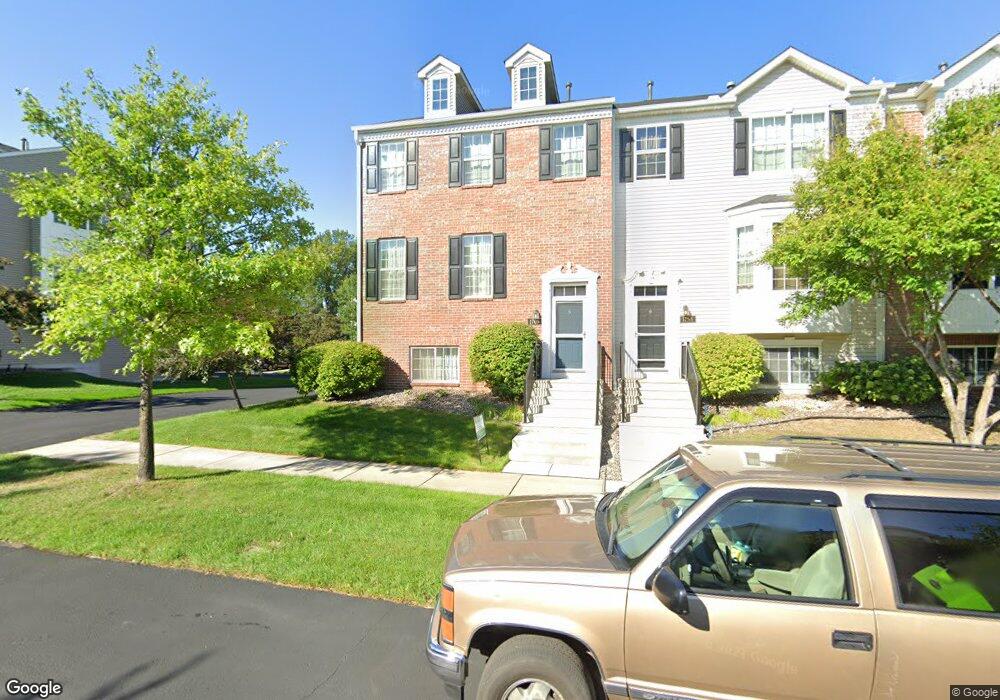
1760 Grove Dr Shakopee, MN 55379
Estimated Value: $341,000 - $350,000
4
Beds
4
Baths
2,364
Sq Ft
$146/Sq Ft
Est. Value
About This Home
This home is located at 1760 Grove Dr, Shakopee, MN 55379 and is currently estimated at $345,445, approximately $146 per square foot. 1760 Grove Dr is a home located in Scott County with nearby schools including Red Oak Elementary School, Shakopee West Middle School, and Shakopee Senior High School.
Ownership History
Date
Name
Owned For
Owner Type
Purchase Details
Closed on
Sep 16, 2021
Sold by
Phoon Wailoon and Cheah Julie
Bought by
Rangamani Suresh and Rangadurai Sujatha
Current Estimated Value
Home Financials for this Owner
Home Financials are based on the most recent Mortgage that was taken out on this home.
Original Mortgage
$70,000
Outstanding Balance
$63,695
Interest Rate
2.8%
Mortgage Type
New Conventional
Estimated Equity
$281,750
Purchase Details
Closed on
Oct 27, 2015
Sold by
Phoon Wailoon and Cheah Julie
Bought by
My Joshua and Tran Phuong
Purchase Details
Closed on
Sep 3, 2004
Sold by
The Ryland Group Inc
Bought by
Phoon Waillon and Cheah Julie
Create a Home Valuation Report for This Property
The Home Valuation Report is an in-depth analysis detailing your home's value as well as a comparison with similar homes in the area
Home Values in the Area
Average Home Value in this Area
Purchase History
| Date | Buyer | Sale Price | Title Company |
|---|---|---|---|
| Rangamani Suresh | $315,000 | Executive Title | |
| My Joshua | $300,000 | Attorney | |
| Phoon Waillon | $247,830 | -- | |
| Rangamani Suresh Suresh | $315,000 | -- |
Source: Public Records
Mortgage History
| Date | Status | Borrower | Loan Amount |
|---|---|---|---|
| Open | Rangamani Suresh | $70,000 | |
| Closed | My Joshua | $0 | |
| Closed | Rangamani Suresh Suresh | $315,000 |
Source: Public Records
Tax History Compared to Growth
Tax History
| Year | Tax Paid | Tax Assessment Tax Assessment Total Assessment is a certain percentage of the fair market value that is determined by local assessors to be the total taxable value of land and additions on the property. | Land | Improvement |
|---|---|---|---|---|
| 2025 | $3,314 | $344,100 | $114,200 | $229,900 |
| 2024 | $3,190 | $328,300 | $108,700 | $219,600 |
| 2023 | $3,346 | $305,600 | $78,300 | $227,300 |
| 2022 | $2,994 | $307,400 | $80,100 | $227,300 |
| 2021 | $2,640 | $247,400 | $62,700 | $184,700 |
| 2020 | $2,844 | $240,800 | $55,100 | $185,700 |
| 2019 | $2,900 | $229,800 | $47,200 | $182,600 |
| 2018 | $2,824 | $0 | $0 | $0 |
| 2016 | $2,902 | $0 | $0 | $0 |
| 2014 | -- | $0 | $0 | $0 |
Source: Public Records
Map
Nearby Homes
- 1782 Switchgrass Cir
- 8042 Stratford Cir S
- 8490 Moraine Cir
- 7450 Ridge Creek Trail
- 8574 Mcguire Ct E
- 1339 Yorkshire Ln
- 7696 Waverly Ave
- 7427 Water St
- 7698 22nd Ave E
- 7638 22nd Ave S
- 7499 22nd Ave S
- 7675 22nd Ave S
- 7687 22nd Ave S
- 7660 Waverly Ave
- 7499 Derby Ln
- 13134 Falcons Way
- 9009 Preserve Trail
- 7422 Waverly Ave
- 9007 Meadow Place
- 8867 Preserve Place