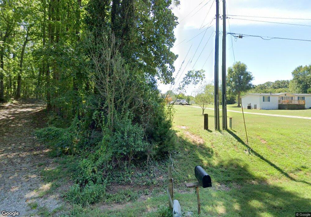
1760 Moose Ln Lincolnton, NC 28092
Estimated Value: $90,418 - $204,000
--
Bed
--
Bath
--
Sq Ft
0.62
Acres
About This Home
This home is located at 1760 Moose Ln, Lincolnton, NC 28092 and is currently estimated at $147,209. 1760 Moose Ln is a home with nearby schools including S. Ray Lowder Elementary School, Lincolnton Middle School, and Lincolnton High School.
Ownership History
Date
Name
Owned For
Owner Type
Purchase Details
Closed on
Aug 22, 2023
Sold by
Neighborhood Housing Group Llc
Bought by
Mondragon Noe Vences
Current Estimated Value
Home Financials for this Owner
Home Financials are based on the most recent Mortgage that was taken out on this home.
Original Mortgage
$257,000
Outstanding Balance
$129,006
Interest Rate
6.96%
Mortgage Type
New Conventional
Estimated Equity
$18,203
Purchase Details
Closed on
Jan 23, 2013
Sold by
Goodspeed Gerald Ernest and Goodspeed Amanda Cope
Bought by
Mintz William L and Mintz Maxine M
Purchase Details
Closed on
Jun 25, 2001
Bought by
Mintz William L
Create a Home Valuation Report for This Property
The Home Valuation Report is an in-depth analysis detailing your home's value as well as a comparison with similar homes in the area
Home Values in the Area
Average Home Value in this Area
Purchase History
| Date | Buyer | Sale Price | Title Company |
|---|---|---|---|
| Mondragon Noe Vences | $287,000 | None Listed On Document | |
| Mintz William L | $40,000 | None Available | |
| Mintz William L | $8,500 | -- |
Source: Public Records
Mortgage History
| Date | Status | Borrower | Loan Amount |
|---|---|---|---|
| Open | Mondragon Noe Vences | $257,000 |
Source: Public Records
Tax History Compared to Growth
Tax History
| Year | Tax Paid | Tax Assessment Tax Assessment Total Assessment is a certain percentage of the fair market value that is determined by local assessors to be the total taxable value of land and additions on the property. | Land | Improvement |
|---|---|---|---|---|
| 2025 | $279 | $22,197 | $21,500 | $697 |
| 2024 | $259 | $22,197 | $21,500 | $697 |
| 2023 | $254 | $22,197 | $21,500 | $697 |
| 2022 | $253 | $18,531 | $17,800 | $731 |
| 2021 | $253 | $18,531 | $17,800 | $731 |
| 2020 | $134 | $18,531 | $17,800 | $731 |
| 2019 | $134 | $18,531 | $17,800 | $731 |
| 2018 | $290 | $15,644 | $14,800 | $844 |
| 2017 | $115 | $15,644 | $14,800 | $844 |
| 2016 | $115 | $0 | $0 | $0 |
| 2015 | $271 | $15,644 | $14,800 | $844 |
| 2014 | $212 | $18,735 | $17,650 | $1,085 |
Source: Public Records
Map
Nearby Homes
- 170 Whitesides Dr
- 000 Southside Rd
- 238 Victory Grove Church Rd
- 2319 Tin Mine Rd
- 3347 & 3349 Gastonia Hwy
- 2503 Tin Mine Rd
- 00 Smith Farm Rd
- 1233 General Hoke Dr
- 755 Victory Grove Church Rd
- 155 Golden Aster Dr
- 584 Southside Church Rd
- 675 Heather Dr
- TBD Southfork Rd
- 101 Saddletree Rd
- 106 Saddletree Rd
- 1055 Fairway Ln
- 109 Saddletree Rd
- 140 Robin Rd
- 00 Lake Sylvia Rd
- 110 Robin Rd
- 1765 Moose Ln
- 1797 Sprouse St
- 1886 Tin Mine Rd
- 1874 Tin Mine Rd
- 1789 Sprouse St
- 291 Grandview Ln
- 1864 Tin Mine Rd
- 1854 Tin Mine Rd
- 303 Grandview Ln
- 1782 Sprouse St
- 1798 Sprouse St
- 317 Grandview Ln
- 1774 Sprouse St
- 1774 Sprouse St Unit 10
- 1842 Holbrook Ln
- 1857 Tin Mine Rd
- 1764 Sprouse St
- 308 Grandview Ln
- 180 Lakewood Ave
- 1749 Sprouse St