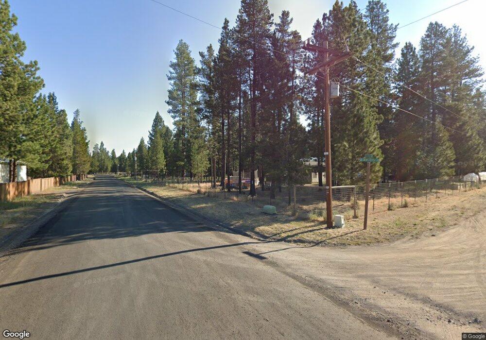
17628 Sutter Ct La Pine, OR 97739
Estimated Value: $602,000 - $639,131
3
Beds
2
Baths
1,641
Sq Ft
$378/Sq Ft
Est. Value
About This Home
This home is located at 17628 Sutter Ct, La Pine, OR 97739 and is currently estimated at $620,566, approximately $378 per square foot. 17628 Sutter Ct is a home located in Deschutes County with nearby schools including Rosland Elementary School, La Pine Middle School, and La Pine Senior High School.
Ownership History
Date
Name
Owned For
Owner Type
Purchase Details
Closed on
Mar 13, 2019
Sold by
Hinrichs Beth A
Bought by
Larson Percy and Larson Desiree A
Current Estimated Value
Home Financials for this Owner
Home Financials are based on the most recent Mortgage that was taken out on this home.
Original Mortgage
$368,207
Outstanding Balance
$323,060
Interest Rate
4.4%
Mortgage Type
FHA
Estimated Equity
$297,506
Purchase Details
Closed on
Sep 20, 2010
Sold by
Knudtson Robert C and Knudtson Sylvia J
Bought by
Hinrichs John M and Hinrichs Beth A
Create a Home Valuation Report for This Property
The Home Valuation Report is an in-depth analysis detailing your home's value as well as a comparison with similar homes in the area
Home Values in the Area
Average Home Value in this Area
Purchase History
| Date | Buyer | Sale Price | Title Company |
|---|---|---|---|
| Larson Percy | $375,000 | First American Title | |
| Hinrichs John M | $235,000 | Western Title & Escrow Co |
Source: Public Records
Mortgage History
| Date | Status | Borrower | Loan Amount |
|---|---|---|---|
| Open | Larson Percy | $368,207 |
Source: Public Records
Tax History
| Year | Tax Paid | Tax Assessment Tax Assessment Total Assessment is a certain percentage of the fair market value that is determined by local assessors to be the total taxable value of land and additions on the property. | Land | Improvement |
|---|---|---|---|---|
| 2025 | $5,191 | $292,600 | -- | -- |
| 2024 | $4,980 | $284,080 | -- | -- |
| 2023 | $4,811 | $275,810 | $0 | $0 |
| 2022 | $4,289 | $259,990 | $0 | $0 |
| 2021 | $4,314 | $247,090 | $0 | $0 |
| 2020 | $4,008 | $247,090 | $0 | $0 |
| 2019 | $3,896 | $239,900 | $0 | $0 |
| 2018 | $3,443 | $232,920 | $0 | $0 |
| 2017 | $3,352 | $226,140 | $0 | $0 |
| 2016 | $3,198 | $219,560 | $0 | $0 |
| 2015 | $3,110 | $213,170 | $0 | $0 |
| 2014 | $2,938 | $206,970 | $0 | $0 |
Source: Public Records
Map
Nearby Homes
- 17575 Sutter St
- 52628 Ammon Rd
- 17545 Holgate Ct
- 52739 Ammon Rd
- 52615 Railroad St
- 52644 Skidgel Rd
- 0 Skidgel Rd Unit 220152152
- 52459 Medill Ct
- 52702 Oak Dr
- 52585 Antler Ln
- 16760 Pine Place
- 51915 Swiss
- 52844 Timber Lane Loop
- 16762 Sandy Ct
- 16650 Willow Ln
- 52356 Allen Dr
- 53262 Riverview Dr
- 52485 Huntington Rd
- 52327 Allen Dr Unit 5
- 53345 Riverview Dr
- 17628 Sutter St
- 17628 Sutter St
- 17616 Sutter St
- 17616 Sutter Ct
- 52617 Golden Astor Rd
- 17621 Sutter Ct
- 17648 Sutter Ct
- 52590 Golden Astor
- 17600 Sutter St
- 17611 Sutter St
- 52606 Mete Rd
- 52606 Mete Ct
- 17600 Sutter Ct
- 52570 Golden Astor Rd
- 17643 Manning Ct
- 52566 Mete Ct
- 17658 Sutter Ct
- 17655 Sutter Ct
- 17610 Rosland Rd
- 17653 Manning Ct
