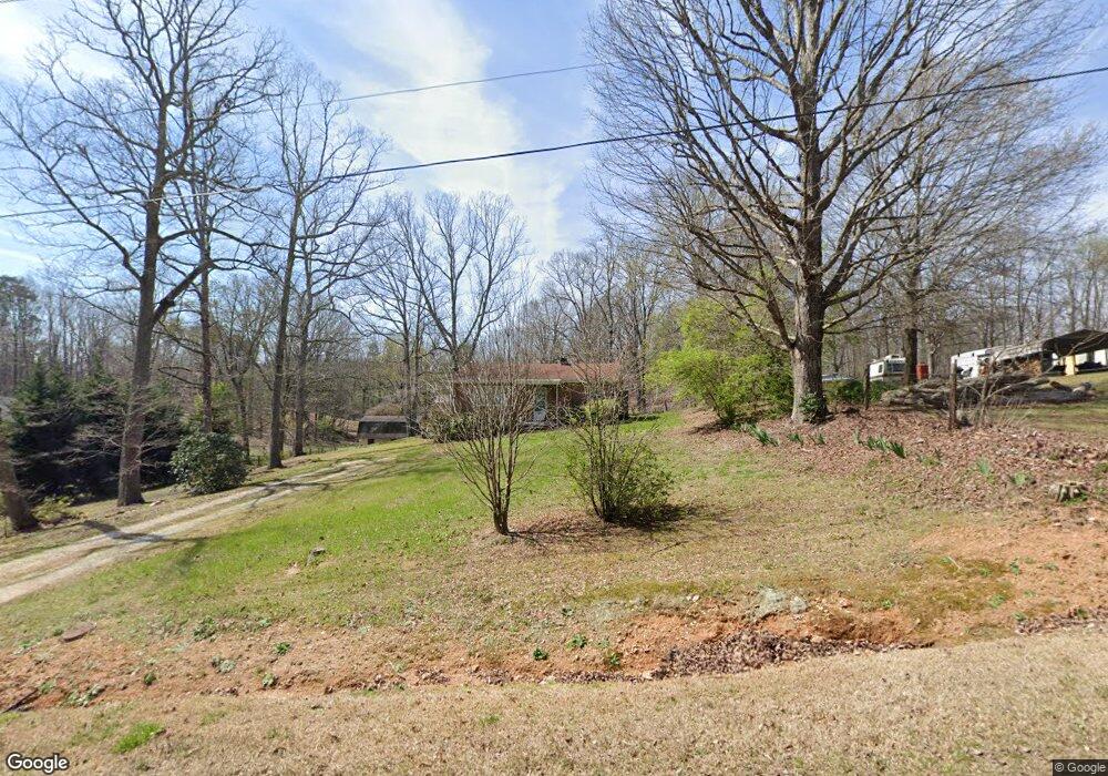
1764 Power Line Rd Lincolnton, NC 28092
Estimated Value: $152,678 - $195,000
2
Beds
1
Bath
1,044
Sq Ft
$158/Sq Ft
Est. Value
About This Home
This home is located at 1764 Power Line Rd, Lincolnton, NC 28092 and is currently estimated at $165,420, approximately $158 per square foot. 1764 Power Line Rd is a home located in Lincoln County with nearby schools including S. Ray Lowder Elementary School, West Lincoln Middle, and West Lincoln High School.
Ownership History
Date
Name
Owned For
Owner Type
Purchase Details
Closed on
Aug 7, 2013
Sold by
Canipe Dennis W
Bought by
Thornburg Dorus C
Current Estimated Value
Home Financials for this Owner
Home Financials are based on the most recent Mortgage that was taken out on this home.
Original Mortgage
$51,000
Outstanding Balance
$37,987
Interest Rate
4.43%
Mortgage Type
Purchase Money Mortgage
Estimated Equity
$127,433
Create a Home Valuation Report for This Property
The Home Valuation Report is an in-depth analysis detailing your home's value as well as a comparison with similar homes in the area
Home Values in the Area
Average Home Value in this Area
Purchase History
| Date | Buyer | Sale Price | Title Company |
|---|---|---|---|
| Thornburg Dorus C | $35,000 | None Available |
Source: Public Records
Mortgage History
| Date | Status | Borrower | Loan Amount |
|---|---|---|---|
| Open | Thornburg Dorus C | $51,000 |
Source: Public Records
Tax History Compared to Growth
Tax History
| Year | Tax Paid | Tax Assessment Tax Assessment Total Assessment is a certain percentage of the fair market value that is determined by local assessors to be the total taxable value of land and additions on the property. | Land | Improvement |
|---|---|---|---|---|
| 2025 | $912 | $123,741 | $31,643 | $92,098 |
| 2024 | $892 | $123,741 | $31,643 | $92,098 |
| 2023 | $887 | $123,741 | $31,643 | $92,098 |
| 2022 | $641 | $70,653 | $22,000 | $48,653 |
| 2021 | $641 | $70,653 | $22,000 | $48,653 |
| 2020 | $512 | $70,653 | $22,000 | $48,653 |
| 2019 | $512 | $70,653 | $22,000 | $48,653 |
| 2018 | $580 | $65,075 | $19,500 | $45,575 |
| 2017 | $479 | $65,075 | $19,500 | $45,575 |
| 2016 | $479 | $65,075 | $19,500 | $45,575 |
| 2015 | $555 | $65,075 | $19,500 | $45,575 |
| 2014 | $234 | $56,045 | $20,000 | $36,045 |
Source: Public Records
Map
Nearby Homes
- 000 Southside Rd
- TBD Southfork Rd
- 3347 & 3349 Gastonia Hwy
- 170 Whitesides Dr
- 584 Southside Church Rd
- 238 Victory Grove Church Rd
- 00 Lake Sylvia Rd
- 1218 W Highview Ln
- 2503 Tin Mine Rd
- 2319 Tin Mine Rd
- 140 Robin Rd
- 110 Robin Rd
- 155 Golden Aster Dr
- 675 Heather Dr
- 68 Mockingbird Ln
- 101 Saddletree Rd
- 106 Saddletree Rd
- 1233 General Hoke Dr
- 109 Saddletree Rd
- 792 Carolina Mill Cir
- 300 Southfork Rd
- 0 Power Line Rd
- 1746 Power Line Rd
- 1769 Power Line Rd
- 324 Southfork Rd
- 266 Southfork Rd
- 1736 Power Line Rd
- 1737 Power Line Rd
- 297 Southfork Rd
- 277 Southfork Rd
- 1800 Southside Rd
- 1725 Power Line Rd
- 1718 Power Line Rd
- 1821 Southside Rd
- 1860 Southside Rd
- 295 Southside Church Rd
- 25 acres S Fork Rd
- 315 Southside Church Rd
- 1778 Southside Rd
- 275 Southside Church Rd