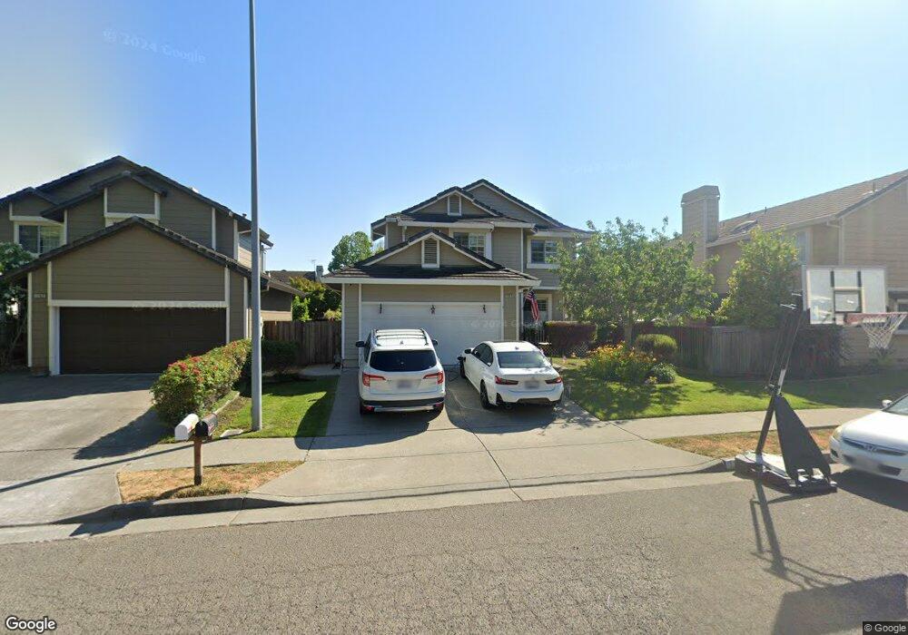
1767 Silverado Cir Petaluma, CA 94954
Adobe NeighborhoodEstimated Value: $905,049 - $996,000
3
Beds
3
Baths
1,958
Sq Ft
$478/Sq Ft
Est. Value
About This Home
This home is located at 1767 Silverado Cir, Petaluma, CA 94954 and is currently estimated at $935,762, approximately $477 per square foot. 1767 Silverado Cir is a home located in Sonoma County with nearby schools including Kenilworth Junior High School, Casa Grande High School, and Miwok Valley Elementary Charter School.
Ownership History
Date
Name
Owned For
Owner Type
Purchase Details
Closed on
Jun 6, 2013
Sold by
Black Point Land Co Ltd
Bought by
Howard Timothy and Howard Irene
Current Estimated Value
Home Financials for this Owner
Home Financials are based on the most recent Mortgage that was taken out on this home.
Original Mortgage
$460,800
Outstanding Balance
$327,640
Interest Rate
3.48%
Mortgage Type
New Conventional
Estimated Equity
$608,122
Purchase Details
Closed on
Feb 21, 2013
Sold by
Brockman James and Moretti Noreen
Bought by
Black Point Land Co Ltd
Purchase Details
Closed on
May 24, 2011
Sold by
Moretti Noreen
Bought by
Moretti Brockman Noreen and Moretti Noreen Brockman 2011 T
Purchase Details
Closed on
Apr 29, 2005
Sold by
Brockman James and Brockman James B
Bought by
Brockman James and Moretti Noreen
Home Financials for this Owner
Home Financials are based on the most recent Mortgage that was taken out on this home.
Original Mortgage
$132,000
Interest Rate
5.92%
Mortgage Type
Credit Line Revolving
Purchase Details
Closed on
Mar 11, 2003
Sold by
Brockman Karen E
Bought by
Brockman James B
Home Financials for this Owner
Home Financials are based on the most recent Mortgage that was taken out on this home.
Original Mortgage
$322,700
Interest Rate
5.83%
Purchase Details
Closed on
Jan 5, 2000
Sold by
Wayne Anthony C and Wayne Gillian H
Bought by
Brockman James B and Brockman Karen E
Home Financials for this Owner
Home Financials are based on the most recent Mortgage that was taken out on this home.
Original Mortgage
$252,700
Interest Rate
7.83%
Purchase Details
Closed on
Jun 24, 1997
Sold by
Lenaburg Denise M
Bought by
Wayne Anthony C and Wayne Gillian H
Purchase Details
Closed on
May 5, 1995
Sold by
Lenaburg Raymond T
Bought by
Lenaburg Denise M
Create a Home Valuation Report for This Property
The Home Valuation Report is an in-depth analysis detailing your home's value as well as a comparison with similar homes in the area
Home Values in the Area
Average Home Value in this Area
Purchase History
| Date | Buyer | Sale Price | Title Company |
|---|---|---|---|
| Howard Timothy | $512,000 | Old Republic Title Company | |
| Black Point Land Co Ltd | $401,091 | None Available | |
| Moretti Brockman Noreen | -- | None Available | |
| Brockman James | -- | Fidelity National Title Co | |
| Brockman James B | -- | New Century Title Co | |
| Brockman James B | $323,500 | New Century Title | |
| Wayne Anthony C | $242,400 | Pacific Coast Title Company | |
| Lenaburg Denise M | -- | -- |
Source: Public Records
Mortgage History
| Date | Status | Borrower | Loan Amount |
|---|---|---|---|
| Open | Howard Timothy | $460,800 | |
| Previous Owner | Brockman James | $132,000 | |
| Previous Owner | Brockman James B | $322,700 | |
| Previous Owner | Brockman James B | $252,700 |
Source: Public Records
Tax History
| Year | Tax Paid | Tax Assessment Tax Assessment Total Assessment is a certain percentage of the fair market value that is determined by local assessors to be the total taxable value of land and additions on the property. | Land | Improvement |
|---|---|---|---|---|
| 2025 | $7,129 | $630,482 | $246,282 | $384,200 |
| 2024 | $7,129 | $618,120 | $241,453 | $376,667 |
| 2023 | $7,129 | $606,001 | $236,719 | $369,282 |
| 2022 | $6,962 | $594,120 | $232,078 | $362,042 |
| 2021 | $6,880 | $582,472 | $227,528 | $354,944 |
| 2020 | $6,774 | $576,500 | $225,195 | $351,305 |
| 2019 | $6,689 | $565,197 | $220,780 | $344,417 |
| 2018 | $6,660 | $554,115 | $216,451 | $337,664 |
| 2017 | $6,526 | $543,251 | $212,207 | $331,044 |
| 2016 | $6,377 | $532,600 | $208,047 | $324,553 |
| 2015 | $6,291 | $524,600 | $204,922 | $319,678 |
| 2014 | $6,262 | $514,324 | $200,908 | $313,416 |
Source: Public Records
Map
Nearby Homes
- 1212 Del Rancho Way
- 1173 River Pine Cir
- 2 Wedgewood Ct
- 601 Marylyn Cir Unit 21
- 2403 Marylyn Cir
- 1280 Saint Francis Dr
- 1636 Sarkesian Dr
- 3571 Old Adobe Rd
- 4091 Lakeville Hwy
- 21 Alta Dr
- 2001 Willow Dr
- 1313 Mcgregor Ave
- 316 Ely Blvd S
- 11 Montclair Ct
- 1713 Alhambra Ct
- 1805 Alvarado St
- 417 Jacquelyn Ln
- 586 Sapphire St
- 1321 Mcneil Ave
- 530 Jade St
- 1763 Silverado Cir
- 1752 Spyglass Rd
- 1748 Spyglass Rd
- 1741 Silverado Cir
- 1744 Spyglass Rd
- 1737 Silverado Cir
- 1740 Spyglass Rd
- 1733 Silverado Cir
- 1770 Silverado Cir
- 1766 Silverado Cir
- 1762 Silverado Cir
- 1736 Spyglass Rd
- 1729 Silverado Cir
- 1755 Spyglass Rd
- 1747 Spyglass Rd
- 1758 Silverado Cir
- 1742 Silverado Cir
- 1738 Silverado Cir
- 1703 Silverado Cir
- 1707 Silverado Cir
Your Personal Tour Guide
Ask me questions while you tour the home.