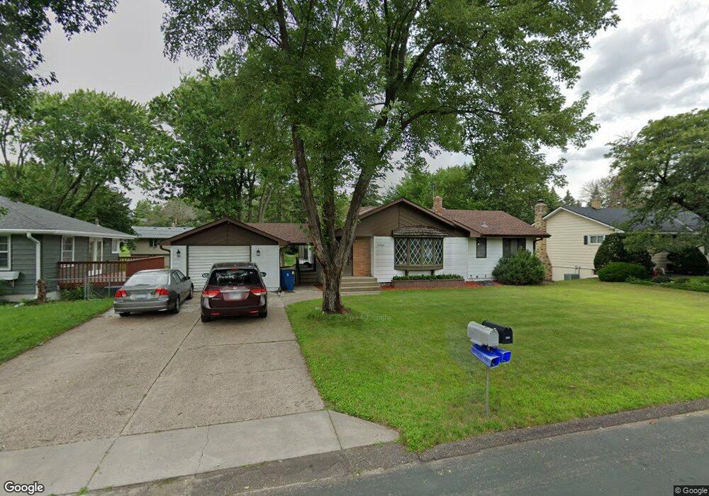
1769 Duluth St Saint Paul, MN 55109
Gladstone NeighborhoodEstimated Value: $366,586 - $424,000
3
Beds
2
Baths
1,588
Sq Ft
$251/Sq Ft
Est. Value
About This Home
This home is located at 1769 Duluth St, Saint Paul, MN 55109 and is currently estimated at $398,147, approximately $250 per square foot. 1769 Duluth St is a home located in Ramsey County with nearby schools including Weaver Elementary School, John Glenn Middle School, and Mounds Park Academy.
Ownership History
Date
Name
Owned For
Owner Type
Purchase Details
Closed on
Nov 3, 2022
Sold by
Thao Morgan L and Thao Maly
Bought by
Thao Pao
Current Estimated Value
Home Financials for this Owner
Home Financials are based on the most recent Mortgage that was taken out on this home.
Original Mortgage
$315,000
Outstanding Balance
$305,462
Interest Rate
7.08%
Mortgage Type
New Conventional
Estimated Equity
$92,685
Purchase Details
Closed on
Jan 15, 1999
Sold by
Ernst Raymond and Ernst Rosemary
Bought by
Thao Morgan and Vu Mely
Create a Home Valuation Report for This Property
The Home Valuation Report is an in-depth analysis detailing your home's value as well as a comparison with similar homes in the area
Home Values in the Area
Average Home Value in this Area
Purchase History
| Date | Buyer | Sale Price | Title Company |
|---|---|---|---|
| Thao Pao | $325,000 | -- | |
| Thao Morgan | $139,000 | -- |
Source: Public Records
Mortgage History
| Date | Status | Borrower | Loan Amount |
|---|---|---|---|
| Open | Thao Pao | $315,000 |
Source: Public Records
Tax History
| Year | Tax Paid | Tax Assessment Tax Assessment Total Assessment is a certain percentage of the fair market value that is determined by local assessors to be the total taxable value of land and additions on the property. | Land | Improvement |
|---|---|---|---|---|
| 2025 | $4,860 | $385,600 | $58,700 | $326,900 |
| 2023 | $4,860 | $345,900 | $58,700 | $287,200 |
| 2022 | $4,458 | $336,400 | $58,800 | $277,600 |
| 2021 | $3,992 | $296,200 | $58,800 | $237,400 |
| 2020 | $4,060 | $271,100 | $58,800 | $212,300 |
| 2019 | $3,882 | $256,700 | $58,800 | $197,900 |
| 2018 | $3,796 | $249,200 | $58,800 | $190,400 |
| 2017 | $3,994 | $236,700 | $58,800 | $177,900 |
| 2016 | $3,610 | $0 | $0 | $0 |
| 2015 | $3,604 | $214,000 | $53,900 | $160,100 |
| 2014 | $2,976 | $0 | $0 | $0 |
Source: Public Records
Map
Nearby Homes
- 1745 Duluth St
- 1800 Edward St
- 1800 E Shore Dr
- 1764 English St
- 1740 English St
- 1083 Gordon Ave
- 1669 Clarence St
- 1875 E Shore Dr Unit 302
- 1855 Birmingham St
- 1633 Etna St
- 2022 English St
- 1508 Mcafee St
- 1664 Barclay St
- 1261 Skillman Ave E
- 1290 Belmont Ln E
- 1571 Christie Place
- 739 Maple Hills Dr E Unit I
- 1484 Dieter St
- 1563 Arcade St
- 1569 Montana Ave E
Your Personal Tour Guide
Ask me questions while you tour the home.