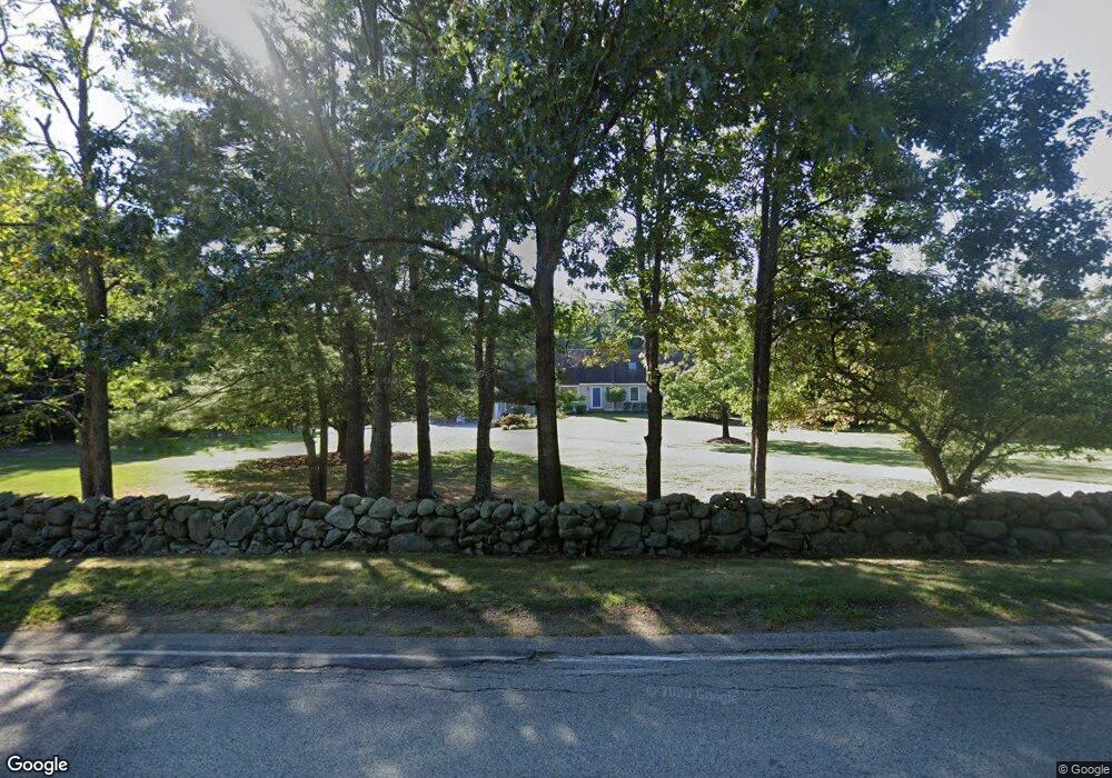
177 Clapp Rd Scituate, MA 02066
Estimated Value: $1,046,000 - $1,141,000
3
Beds
2
Baths
2,224
Sq Ft
$493/Sq Ft
Est. Value
About This Home
This home is located at 177 Clapp Rd, Scituate, MA 02066 and is currently estimated at $1,097,293, approximately $493 per square foot. 177 Clapp Rd is a home located in Plymouth County with nearby schools including Hatherly Elementary School, Lester J. Gates Middle School, and Scituate High School.
Ownership History
Date
Name
Owned For
Owner Type
Purchase Details
Closed on
Mar 28, 2022
Sold by
Anderson A Gray
Bought by
Anderson Mark P
Current Estimated Value
Home Financials for this Owner
Home Financials are based on the most recent Mortgage that was taken out on this home.
Original Mortgage
$440,000
Outstanding Balance
$409,260
Interest Rate
3.69%
Mortgage Type
Purchase Money Mortgage
Estimated Equity
$688,033
Purchase Details
Closed on
Dec 14, 1987
Sold by
Anderson Inc
Bought by
Anderson Gary A
Create a Home Valuation Report for This Property
The Home Valuation Report is an in-depth analysis detailing your home's value as well as a comparison with similar homes in the area
Home Values in the Area
Average Home Value in this Area
Purchase History
| Date | Buyer | Sale Price | Title Company |
|---|---|---|---|
| Anderson Mark P | $550,000 | None Available | |
| Anderson Gary A | $255,872 | -- |
Source: Public Records
Mortgage History
| Date | Status | Borrower | Loan Amount |
|---|---|---|---|
| Open | Anderson Mark P | $440,000 | |
| Previous Owner | Anderson Gary A | $200,000 | |
| Previous Owner | Anderson Gary A | $150,000 |
Source: Public Records
Tax History
| Year | Tax Paid | Tax Assessment Tax Assessment Total Assessment is a certain percentage of the fair market value that is determined by local assessors to be the total taxable value of land and additions on the property. | Land | Improvement |
|---|---|---|---|---|
| 2025 | $11,427 | $1,143,800 | $564,500 | $579,300 |
| 2024 | $11,202 | $1,081,300 | $513,100 | $568,200 |
| 2023 | $10,615 | $974,000 | $468,200 | $505,800 |
| 2022 | $10,615 | $841,100 | $411,200 | $429,900 |
| 2021 | $10,088 | $756,800 | $391,700 | $365,100 |
| 2020 | $9,783 | $724,700 | $376,600 | $348,100 |
| 2019 | $9,645 | $702,000 | $369,200 | $332,800 |
| 2018 | $9,977 | $715,200 | $397,400 | $317,800 |
| 2017 | $9,569 | $679,100 | $361,300 | $317,800 |
| 2016 | $9,347 | $661,000 | $343,200 | $317,800 |
| 2015 | $8,422 | $642,900 | $325,100 | $317,800 |
Source: Public Records
Map
Nearby Homes
- 0 Bates Ln (Lot E Kevin's Way) Unit 73419598
- 453 Clapp Rd
- 449 Clapp Rd
- 451 Clapp Rd
- 453 - 455 Clapp Rd
- 11 Forest Ln
- 9 Forest Ln Unit 9
- 764 First Parish Rd
- 165 R Summer St
- 27 Ox Pasture Ln
- 627 First Parish Rd
- 701 Country Way
- 34 Flintlock Ridge Rd
- 71 Ledgewood Dr
- 67 Pratt Rd
- 817 Country Way
- 537 First Parish Rd
- 629 Country Way
- 26 Mordecai Lincoln Rd
- 45 Hemlock Way
Your Personal Tour Guide
Ask me questions while you tour the home.